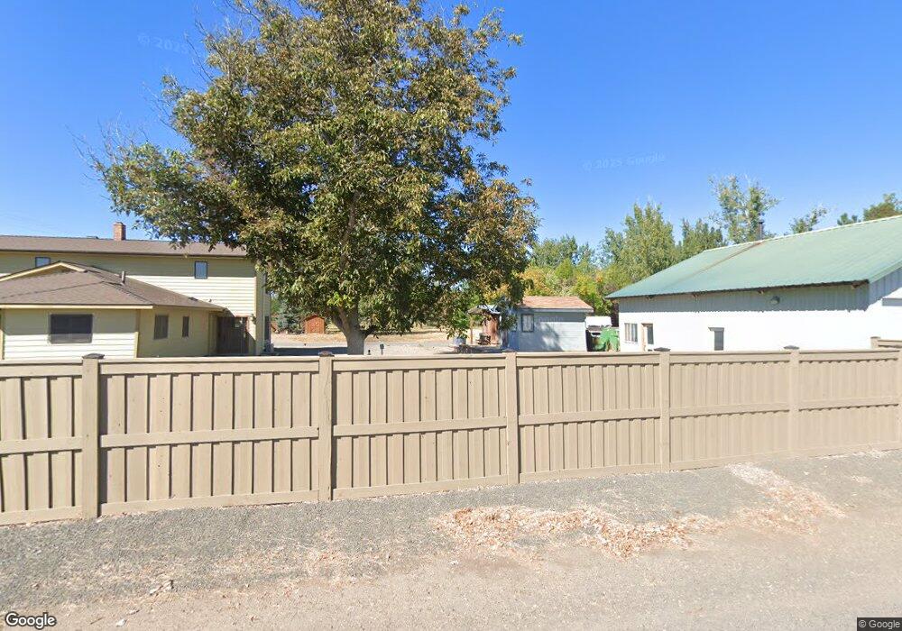
289 River Dock Rd Weiser, ID 83672
Estimated Value: $415,000 - $667,000
3
Beds
2
Baths
2,189
Sq Ft
$257/Sq Ft
Est. Value
About This Home
This home is located at 289 River Dock Rd, Weiser, ID 83672 and is currently estimated at $561,805, approximately $256 per square foot. 289 River Dock Rd is a home located in Washington County with nearby schools including Pioneer Primary School, Park Intermediate School, and Weiser Middle School.
Ownership History
Date
Name
Owned For
Owner Type
Purchase Details
Closed on
Sep 29, 2011
Sold by
Maxwell Shawna
Bought by
Maxwell Travis L
Current Estimated Value
Home Financials for this Owner
Home Financials are based on the most recent Mortgage that was taken out on this home.
Original Mortgage
$288,000
Outstanding Balance
$196,900
Interest Rate
4.15%
Mortgage Type
New Conventional
Estimated Equity
$364,905
Purchase Details
Closed on
Sep 22, 2005
Sold by
Ferrell Beverly
Bought by
Ferrell Wayne
Create a Home Valuation Report for This Property
The Home Valuation Report is an in-depth analysis detailing your home's value as well as a comparison with similar homes in the area
Purchase History
| Date | Buyer | Sale Price | Title Company |
|---|---|---|---|
| Maxwell Travis L | -- | -- | |
| Maxwell Travis L | -- | -- | |
| Ferrell Wayne | -- | -- |
Source: Public Records
Mortgage History
| Date | Status | Borrower | Loan Amount |
|---|---|---|---|
| Open | Maxwell Travis L | $288,000 | |
| Closed | Maxwell Travis L | $288,000 |
Source: Public Records
Tax History
| Year | Tax Paid | Tax Assessment Tax Assessment Total Assessment is a certain percentage of the fair market value that is determined by local assessors to be the total taxable value of land and additions on the property. | Land | Improvement |
|---|---|---|---|---|
| 2025 | $2,208 | $479,385 | $123,599 | $355,786 |
| 2024 | $2,296 | $477,668 | $123,599 | $354,069 |
| 2023 | $1,982 | $457,846 | $123,599 | $334,247 |
| 2022 | $2,798 | $485,300 | $123,599 | $361,701 |
| 2021 | $2,349 | $377,659 | $90,750 | $286,909 |
| 2020 | $2,037 | $299,348 | $79,800 | $219,548 |
| 2019 | $2,009 | $222,072 | $79,800 | $142,272 |
| 2018 | $1,745 | $264,318 | $79,800 | $184,518 |
| 2017 | $1,364 | $222,072 | $79,800 | $142,272 |
| 2013 | $1,282 | $0 | $0 | $0 |
| 2011 | $1,397 | $0 | $0 | $0 |
Source: Public Records
Map
Nearby Homes
- TBD Hansen Road (Parcel D)
- TBD Hansen Road (Parcel C)
- TBD Hansen Road (Parcel A)
- TBD Hansen Rd
- 5109 Hyline Rd
- 260 U S 95
- 518 U S 95
- 510 U S 95
- 548 Day Rd
- 4977 Oregon 201
- 425 W Peach Rd
- 5517 Highway Spur 95 Spur
- 0 Hill Rd
- TBD TAXLOT1004 Kimball Rd
- 449 E Commercial St
- 1012 E Main St
- 1126 E Main St
- 824 E Main St
- 1230 E Main St
- 5589 U S 95 Spur
- 0 Riverdock Rd
- 1374 Riverside Dr
- 1386 Riverside Dr
- 1376 Riverside Dr
- TBD Larsen Rd
- 1449 Larsen Rd
- TBD Hansen Road (Parcel B)
- 0 Hansen Rd
- Building Lots Unit Hansen Road Weiser I
- 224 Mesquite Rd
- 333 Airport Rd
- 1461 Larsen Rd
- 357 River Dock Rd
- 193 Mesquite Rd
- 1356 Hansen Rd
- 377 Airport Rd
- 270 Mesquite Rd
- 210 Mesquite Rd
- Lot 7 Krause Rd
- Lot 6 Krause Rd
