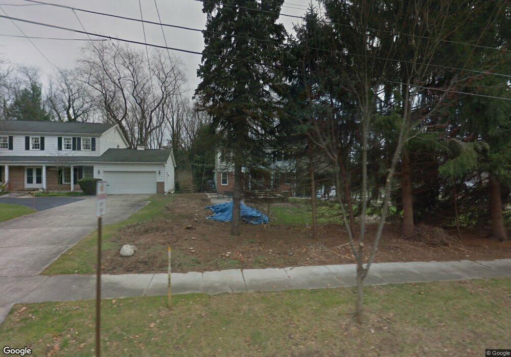
289 Sand Run Rd Akron, OH 44313
Northwest Akron NeighborhoodEstimated Value: $324,000 - $351,000
4
Beds
2
Baths
2,212
Sq Ft
$154/Sq Ft
Est. Value
About This Home
This home is located at 289 Sand Run Rd, Akron, OH 44313 and is currently estimated at $340,348, approximately $153 per square foot. 289 Sand Run Rd is a home located in Summit County with nearby schools including Our Lady Of The Elms Elementary School, St. Hilary Elementary School, and Discovery Montessori School.
Ownership History
Date
Name
Owned For
Owner Type
Purchase Details
Closed on
Jan 24, 2014
Sold by
Ahmed Hilda
Bought by
Ardila Hilda
Current Estimated Value
Purchase Details
Closed on
Sep 19, 2008
Sold by
Ahmed Mansoor and Ahmed Hilda
Bought by
Ahmed Hilda
Create a Home Valuation Report for This Property
The Home Valuation Report is an in-depth analysis detailing your home's value as well as a comparison with similar homes in the area
Home Values in the Area
Average Home Value in this Area
Purchase History
| Date | Buyer | Sale Price | Title Company |
|---|---|---|---|
| Ardila Hilda | -- | None Available | |
| Ahmed Hilda | -- | Prescott Revere Land Title |
Source: Public Records
Tax History Compared to Growth
Tax History
| Year | Tax Paid | Tax Assessment Tax Assessment Total Assessment is a certain percentage of the fair market value that is determined by local assessors to be the total taxable value of land and additions on the property. | Land | Improvement |
|---|---|---|---|---|
| 2025 | $5,486 | $99,747 | $27,951 | $71,796 |
| 2024 | $5,486 | $99,747 | $27,951 | $71,796 |
| 2023 | $5,486 | $99,747 | $27,951 | $71,796 |
| 2022 | $5,338 | $76,143 | $21,336 | $54,807 |
| 2021 | $5,343 | $76,143 | $21,336 | $54,807 |
| 2020 | $5,265 | $76,150 | $21,340 | $54,810 |
| 2019 | $4,800 | $62,600 | $19,210 | $43,390 |
| 2018 | $4,738 | $62,600 | $19,210 | $43,390 |
| 2017 | $4,389 | $62,600 | $19,210 | $43,390 |
| 2016 | $4,392 | $56,640 | $19,210 | $37,430 |
| 2015 | $4,389 | $56,640 | $19,210 | $37,430 |
| 2014 | $5,872 | $56,640 | $19,210 | $37,430 |
| 2013 | $5,788 | $56,640 | $19,210 | $37,430 |
Source: Public Records
Map
Nearby Homes
- 257 Sand Run Rd
- 2121 Brookshire Rd
- 2079 Wyndham Rd
- 128 Overwood Rd
- 2033 Wiltshire Rd
- 311 Goodhue Dr
- 2040 Braewick Dr
- 48 S Wheaton Rd
- 2388 Banbury Rd
- 47 S Wheaton Rd
- 441 Sandhurst Rd
- 135 Southwood Rd
- 1785 Fairlawn Knolls Dr
- 2365 Covington Rd Unit 221
- 1830 Tanglewood Dr
- 2375 Covington Rd Unit 311
- 2206 Woodpark Rd
- 2120 Ridgewood Rd
- 189 Wolcott Rd
- 2385 Covington Rd Unit 304
- 301 Sand Run Rd
- 2140 Brookshire Rd
- 324 Keith Ave
- 332 Keith Ave
- 311 Sand Run Rd
- 263 Sand Run Rd
- 286 Sand Run Rd
- 340 Keith Ave
- 300 Sand Run Rd
- 308 Sand Run Rd
- 270 Sand Run Rd
- 346 Keith Ave
- 315 Sand Run Rd
- 292 Keith Ave
- 2103 Brookshire Rd
- 316 Sand Run Rd
- 2102 Wyndham Rd
- 249 Sand Run Rd
- 284 Keith Ave
- 354 Keith Ave