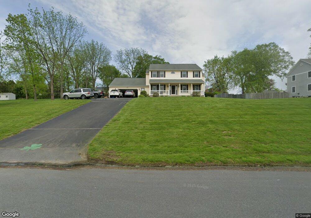
289 Sawmill Rd West Springfield, MA 01089
Estimated Value: $623,000 - $695,000
4
Beds
3
Baths
3,124
Sq Ft
$207/Sq Ft
Est. Value
About This Home
This home is located at 289 Sawmill Rd, West Springfield, MA 01089 and is currently estimated at $645,813, approximately $206 per square foot. 289 Sawmill Rd is a home located in Hampden County with nearby schools including West Springfield High School, Hampden Charter School of Science West, and St Thomas The Apostle School.
Ownership History
Date
Name
Owned For
Owner Type
Purchase Details
Closed on
May 17, 2005
Sold by
Flaherty William M
Bought by
Flaherty Nancy A and Flaherty William M
Current Estimated Value
Home Financials for this Owner
Home Financials are based on the most recent Mortgage that was taken out on this home.
Original Mortgage
$88,000
Outstanding Balance
$46,501
Interest Rate
6.05%
Mortgage Type
Purchase Money Mortgage
Estimated Equity
$599,312
Purchase Details
Closed on
Feb 10, 1992
Sold by
Allen Edna V
Bought by
Flaherty William M
Home Financials for this Owner
Home Financials are based on the most recent Mortgage that was taken out on this home.
Original Mortgage
$25,000
Interest Rate
8.23%
Mortgage Type
Purchase Money Mortgage
Create a Home Valuation Report for This Property
The Home Valuation Report is an in-depth analysis detailing your home's value as well as a comparison with similar homes in the area
Home Values in the Area
Average Home Value in this Area
Purchase History
| Date | Buyer | Sale Price | Title Company |
|---|---|---|---|
| Flaherty Nancy A | -- | -- | |
| Flaherty William M | $60,800 | -- |
Source: Public Records
Mortgage History
| Date | Status | Borrower | Loan Amount |
|---|---|---|---|
| Open | Flaherty Nancy A | $88,000 | |
| Previous Owner | Flaherty William M | $117,000 | |
| Previous Owner | Flaherty William M | $120,000 | |
| Previous Owner | Flaherty William M | $25,000 |
Source: Public Records
Tax History
| Year | Tax Paid | Tax Assessment Tax Assessment Total Assessment is a certain percentage of the fair market value that is determined by local assessors to be the total taxable value of land and additions on the property. | Land | Improvement |
|---|---|---|---|---|
| 2025 | $8,152 | $548,200 | $148,200 | $400,000 |
| 2024 | $7,722 | $521,400 | $148,200 | $373,200 |
| 2023 | $7,520 | $483,900 | $164,100 | $319,800 |
| 2022 | $6,846 | $434,400 | $149,100 | $285,300 |
| 2021 | $6,951 | $411,300 | $141,900 | $269,400 |
| 2020 | $6,973 | $410,400 | $141,900 | $268,500 |
| 2019 | $6,960 | $410,400 | $141,900 | $268,500 |
| 2018 | $6,997 | $410,400 | $141,900 | $268,500 |
| 2017 | $6,997 | $410,400 | $141,900 | $268,500 |
| 2016 | $7,025 | $413,500 | $136,500 | $277,000 |
| 2015 | $6,886 | $405,300 | $133,800 | $271,500 |
| 2014 | $1,675 | $405,300 | $133,800 | $271,500 |
Source: Public Records
Map
Nearby Homes
- 34 High Meadow Dr
- 791 Morgan Rd
- 0 Ahiska Rd Unit 73477754
- 34 Pebble Path Ln
- 66 Penrose Dr
- 655 Morgan Rd
- 86 Albert St
- 241 Belmont Ave
- 240 Morton St
- 156 Canterbury Way
- 259 Ohio Ave
- 65 Verdugo St
- 132 Lincoln St
- 59 Woodmont St
- 36 Shady Brook
- 1996 Westfield St
- 2 Windpath E
- 117 Sibley Ave
- 81 Chestnut St
- 48 Beech Hill Rd Unit 48
- 271 Sawmill Rd
- 301 Sawmill Rd
- 1047 Amostown Rd
- 1027 Amostown Rd
- 927 Dewey St
- 282 Sawmill Rd
- 257 Sawmill Rd
- 1059 Amostown Rd
- 1059 Amostown Rd Unit 1
- 268 Sawmill Rd
- 917 Dewey St
- 946 Dewey St
- 1001 Amostown Rd
- 1036 Amostown Rd
- 934 Dewey St
- 1073 Amostown Rd
- 1022 Amostown Rd
- 924 Dewey St
- 905 Dewey St
- 243 Sawmill Rd
Your Personal Tour Guide
Ask me questions while you tour the home.