289 Seabolt Ln Blairsville, GA 30512
Estimated Value: $534,000 - $662,000
3
Beds
3
Baths
2,075
Sq Ft
$280/Sq Ft
Est. Value
About This Home
This home is located at 289 Seabolt Ln, Blairsville, GA 30512 and is currently estimated at $581,840, approximately $280 per square foot. 289 Seabolt Ln is a home located in Union County with nearby schools including Union County Primary School, Union County Elementary School, and Union County Middle School.
Ownership History
Date
Name
Owned For
Owner Type
Purchase Details
Closed on
Sep 5, 2007
Sold by
Britton Donald
Bought by
White Ardith Wayne and White Diana G
Current Estimated Value
Purchase Details
Closed on
Aug 22, 2006
Sold by
Peace Lady Queen
Bought by
Britton Donald
Purchase Details
Closed on
Jun 21, 2006
Sold by
Manyak Cindy L
Bought by
Confraternity Of Our Lady Quee
Purchase Details
Closed on
Dec 27, 2004
Bought by
Confraternity Of Our Lady
Create a Home Valuation Report for This Property
The Home Valuation Report is an in-depth analysis detailing your home's value as well as a comparison with similar homes in the area
Home Values in the Area
Average Home Value in this Area
Purchase History
| Date | Buyer | Sale Price | Title Company |
|---|---|---|---|
| White Ardith Wayne | $325,000 | -- | |
| Britton Donald | $151,000 | -- | |
| Confraternity Of Our Lady Quee | -- | -- | |
| Confraternity Of Our Lady | -- | -- |
Source: Public Records
Tax History Compared to Growth
Tax History
| Year | Tax Paid | Tax Assessment Tax Assessment Total Assessment is a certain percentage of the fair market value that is determined by local assessors to be the total taxable value of land and additions on the property. | Land | Improvement |
|---|---|---|---|---|
| 2024 | $1,303 | $227,360 | $31,360 | $196,000 |
| 2023 | $1,498 | $222,520 | $31,360 | $191,160 |
| 2022 | $901 | $169,440 | $29,040 | $140,400 |
| 2021 | $626 | $140,600 | $29,040 | $111,560 |
| 2020 | $1,660 | $89,750 | $23,732 | $66,018 |
| 2019 | $1,569 | $89,750 | $23,732 | $66,018 |
| 2018 | $1,577 | $89,750 | $23,732 | $66,018 |
| 2017 | $1,541 | $89,750 | $23,732 | $66,018 |
| 2016 | $1,542 | $89,750 | $23,732 | $66,018 |
| 2015 | $1,555 | $89,750 | $23,732 | $66,018 |
| 2013 | -- | $89,750 | $23,732 | $66,018 |
Source: Public Records
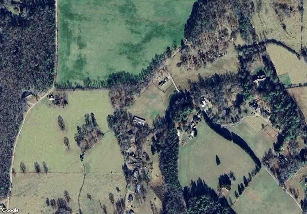
Map
Nearby Homes
- 49 Dills Road Extension
- 311 Lonesome Pine Trail
- 342 Lonesome Pine Trail
- 724 Fish Cove Rd
- 463 Roberts Rd
- 84 Knights Way
- 652 Stennes Gap Rd
- 266 E Wright Rd
- 862 Stennes Gap Rd
- 8 Hawks View Ct
- LOT #90 the Hills at Queens Gap
- 18 Dillard Place
- 0 the Hills Ln Unit 88 10316686
- 0 the Hills Ln Unit 7402098
- 975 Bunker Hill Rd
- 341 Holly Lane Rd
- 3258 Cane Hollow Farm Rd
- 437 Seabolt Ln
- 469 Seabolt Ln
- 469 Seabolt Ln
- 3200 Cane Hollow Farm Rd
- 499 Seabolt Ln
- 11 Dills Road Extension
- 6005 Dills Rd
- 553 Seabolt Ln
- 567 Seabolt Ln Unit 3
- 567 Seabolt Ln
- 567 Seabolt Ln
- 84 Chapel Hill Rd
- 5975 Dills Road Extension
- 597 Seabolt Ln
- 356 Dills Rd
- 366 Mason Rd
- 19.5AC Mason Rd
- 19.5 Mason Rd
- 617 Seabolt Ln