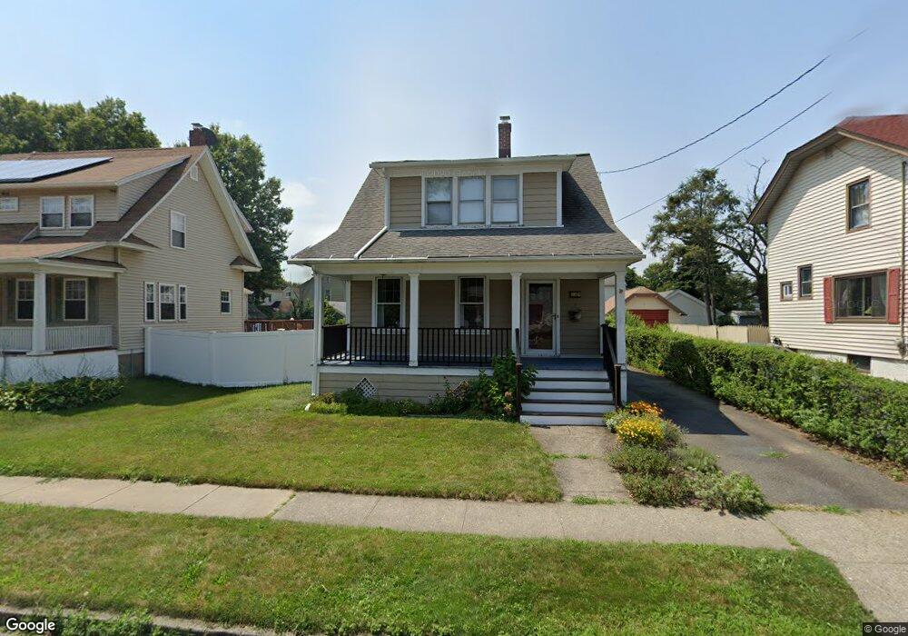
289 Sherwood Place Stratford, CT 06615
Stratford Center Historic District NeighborhoodEstimated Value: $364,298 - $385,000
2
Beds
1
Bath
1,092
Sq Ft
$340/Sq Ft
Est. Value
About This Home
This home is located at 289 Sherwood Place, Stratford, CT 06615 and is currently estimated at $371,575, approximately $340 per square foot. 289 Sherwood Place is a home located in Fairfield County with nearby schools including Stratford Academy - Johnson House, David Wooster Middle School, and Stratford High School.
Ownership History
Date
Name
Owned For
Owner Type
Purchase Details
Closed on
Aug 10, 2009
Sold by
Cianciola Karen
Bought by
Graffeo Peter and Graffeo Karen
Current Estimated Value
Purchase Details
Closed on
Jun 15, 1999
Sold by
Ruggiero Richard A and Ruggiero Karen
Bought by
Cianciola Karen A
Home Financials for this Owner
Home Financials are based on the most recent Mortgage that was taken out on this home.
Original Mortgage
$84,000
Interest Rate
6.9%
Create a Home Valuation Report for This Property
The Home Valuation Report is an in-depth analysis detailing your home's value as well as a comparison with similar homes in the area
Home Values in the Area
Average Home Value in this Area
Purchase History
| Date | Buyer | Sale Price | Title Company |
|---|---|---|---|
| Graffeo Peter | -- | -- | |
| Cianciola Karen A | $105,000 | -- |
Source: Public Records
Mortgage History
| Date | Status | Borrower | Loan Amount |
|---|---|---|---|
| Previous Owner | Cianciola Karen A | $84,000 |
Source: Public Records
Tax History Compared to Growth
Tax History
| Year | Tax Paid | Tax Assessment Tax Assessment Total Assessment is a certain percentage of the fair market value that is determined by local assessors to be the total taxable value of land and additions on the property. | Land | Improvement |
|---|---|---|---|---|
| 2025 | $4,643 | $115,500 | $60,060 | $55,440 |
| 2024 | $4,643 | $115,500 | $60,060 | $55,440 |
| 2023 | $4,643 | $115,500 | $60,060 | $55,440 |
| 2022 | $4,558 | $115,500 | $60,060 | $55,440 |
| 2021 | $4,559 | $115,500 | $60,060 | $55,440 |
| 2020 | $4,578 | $115,500 | $60,060 | $55,440 |
| 2019 | $4,717 | $118,300 | $57,120 | $61,180 |
| 2018 | $4,720 | $118,300 | $57,120 | $61,180 |
| 2017 | $4,728 | $118,300 | $57,120 | $61,180 |
| 2016 | $4,613 | $118,300 | $57,120 | $61,180 |
| 2015 | $4,375 | $118,300 | $57,120 | $61,180 |
| 2014 | $4,577 | $128,450 | $68,810 | $59,640 |
Source: Public Records
Map
Nearby Homes
- 1170 South Ave
- 1198 Wells Place
- 1867 Main St
- 88 Boswell St
- 171 Boswell St
- 5 Lindsley Place
- 291 Birdseye St
- 1460 Elm St Unit 322
- 32 Harbour View Place
- 50 Birdseye St Unit 101
- 50 Birdseye St Unit 104
- 209 Mcgrath Ct
- 1260 Elm St
- 753 Stratford Ave
- 107 Dewey St
- 58 Academy Hill Terrace
- 270 Roosevelt Ave
- 79 Wooster Ave
- 196 Avon St
- 59 Lenox Ave
- 279 Sherwood Place
- 299 Sherwood Place
- 156 Floral Way
- 309 Sherwood Place
- 319 Sherwood Place
- 269 Sherwood Place
- 146 Floral Way
- 222 Taft St
- 157 Floral Way
- 259 Sherwood Place
- 205 Holmes St
- 212 Taft St
- 147 Floral Way
- 195 Holmes St
- 242 Taft St
- 327 Sherwood Place
- 136 Floral Way
- 232 Taft St
- 249 Sherwood Place
- 202 Taft St