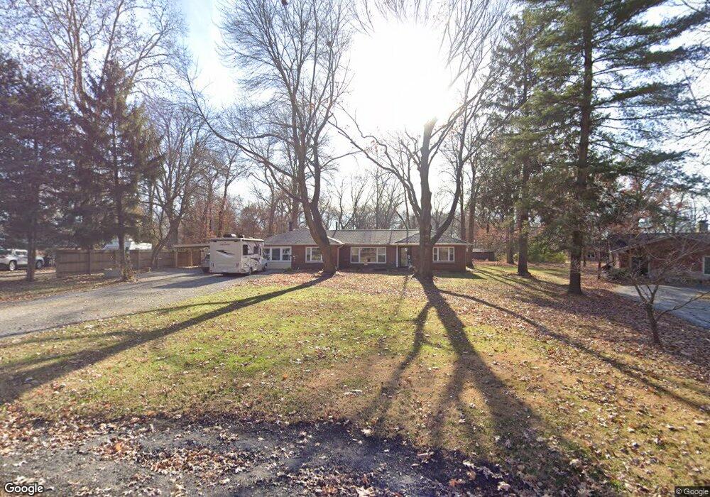
289 W Haller Dr East Alton, IL 62024
Estimated Value: $220,000 - $257,000
3
Beds
2
Baths
1,865
Sq Ft
$127/Sq Ft
Est. Value
About This Home
This home is located at 289 W Haller Dr, East Alton, IL 62024 and is currently estimated at $236,200, approximately $126 per square foot. 289 W Haller Dr is a home located in Madison County with nearby schools including Eastwood Elementary School, East Alton Middle School, and East Alton-Wood River High School.
Ownership History
Date
Name
Owned For
Owner Type
Purchase Details
Closed on
Sep 9, 2025
Sold by
Mudge Joan E
Bought by
Mudge Trust
Current Estimated Value
Purchase Details
Closed on
Aug 5, 2011
Sold by
Mudge John G
Bought by
Mudge John Greg and Mudge Joan E
Home Financials for this Owner
Home Financials are based on the most recent Mortgage that was taken out on this home.
Original Mortgage
$20,000
Interest Rate
3.25%
Mortgage Type
Credit Line Revolving
Create a Home Valuation Report for This Property
The Home Valuation Report is an in-depth analysis detailing your home's value as well as a comparison with similar homes in the area
Home Values in the Area
Average Home Value in this Area
Purchase History
| Date | Buyer | Sale Price | Title Company |
|---|---|---|---|
| Mudge Trust | -- | Ck | |
| Mudge John Greg | -- | Southern Illinois Real Estat |
Source: Public Records
Mortgage History
| Date | Status | Borrower | Loan Amount |
|---|---|---|---|
| Previous Owner | Mudge John Greg | $20,000 |
Source: Public Records
Tax History Compared to Growth
Tax History
| Year | Tax Paid | Tax Assessment Tax Assessment Total Assessment is a certain percentage of the fair market value that is determined by local assessors to be the total taxable value of land and additions on the property. | Land | Improvement |
|---|---|---|---|---|
| 2024 | $5,103 | $61,650 | $7,780 | $53,870 |
| 2023 | $5,103 | $57,470 | $7,250 | $50,220 |
| 2022 | $4,767 | $53,040 | $6,690 | $46,350 |
| 2021 | $4,350 | $49,440 | $6,240 | $43,200 |
| 2020 | $4,173 | $47,620 | $6,010 | $41,610 |
| 2019 | $4,096 | $46,200 | $5,830 | $40,370 |
| 2018 | $3,988 | $43,900 | $5,540 | $38,360 |
| 2017 | $3,780 | $42,850 | $5,410 | $37,440 |
| 2016 | $3,648 | $42,850 | $5,410 | $37,440 |
| 2015 | $4,035 | $42,390 | $5,350 | $37,040 |
| 2014 | $4,035 | $42,390 | $5,350 | $37,040 |
| 2013 | $4,035 | $43,000 | $5,430 | $37,570 |
Source: Public Records
Map
Nearby Homes
- 250 Hi Pointe Place
- 283 Hi Pointe Place
- 141 S 9th St
- 211 S 9th St
- 144 S 9th St
- 604 Wood River Ave
- 345 Illinois Ave
- 14 Dell Ave
- 959 Cedar Dr
- 523 Lincoln Ave
- 104 Whitelaw Ave
- 121 Whitelaw Ave
- 225 Lakeside Ave
- 98 Wood River Ave
- 523 Wilson Ave
- 420 Bowman Ave
- 133 Lincoln Ave
- 523 Broadway
- 417 California Ave
- 833 State St
- 293 W Haller Dr
- 285 W Haller Dr
- 292 W Haller Dr
- 281 W Haller Dr
- 297 W Haller Dr
- 295 W Haller Dr
- 288 W Haller Dr
- 279 W Haller Dr
- 296 W Haller Dr
- 270 Westwood Place
- 264 Westwood Place
- 285 W Airline Dr
- 276 W Haller Dr
- 276 Westwood Place
- 258 Westwood Place
- 277 W Airline Dr
- 836 Willoway Ave
- 275 W Haller Dr
- 838 Willoway Ave
- 319 W Airline Dr