289 W Monhegan Ave Beecher, IL 60401
Estimated Value: $256,047 - $369,000
--
Bed
--
Bath
--
Sq Ft
0.32
Acres
About This Home
This home is located at 289 W Monhegan Ave, Beecher, IL 60401 and is currently estimated at $324,262. 289 W Monhegan Ave is a home with nearby schools including Beecher Elementary School, Beecher Junior High School, and Beecher High School.
Ownership History
Date
Name
Owned For
Owner Type
Purchase Details
Closed on
Apr 17, 2009
Sold by
Montalbano Builders Inc
Bought by
Johnson Frederick A and Kleszynski Sharon N
Current Estimated Value
Home Financials for this Owner
Home Financials are based on the most recent Mortgage that was taken out on this home.
Original Mortgage
$222,400
Outstanding Balance
$141,421
Interest Rate
5.05%
Mortgage Type
Purchase Money Mortgage
Estimated Equity
$182,841
Create a Home Valuation Report for This Property
The Home Valuation Report is an in-depth analysis detailing your home's value as well as a comparison with similar homes in the area
Home Values in the Area
Average Home Value in this Area
Purchase History
| Date | Buyer | Sale Price | Title Company |
|---|---|---|---|
| Johnson Frederick A | $278,000 | Chicago Title Insurance Co |
Source: Public Records
Mortgage History
| Date | Status | Borrower | Loan Amount |
|---|---|---|---|
| Open | Johnson Frederick A | $222,400 |
Source: Public Records
Tax History Compared to Growth
Tax History
| Year | Tax Paid | Tax Assessment Tax Assessment Total Assessment is a certain percentage of the fair market value that is determined by local assessors to be the total taxable value of land and additions on the property. | Land | Improvement |
|---|---|---|---|---|
| 2024 | $5,344 | $80,565 | $23,051 | $57,514 |
| 2023 | $5,344 | $73,022 | $20,893 | $52,129 |
| 2022 | $4,618 | $66,968 | $19,161 | $47,807 |
| 2021 | $4,759 | $62,065 | $17,758 | $44,307 |
| 2020 | $4,557 | $57,870 | $16,558 | $41,312 |
| 2019 | $4,307 | $54,399 | $15,565 | $38,834 |
| 2018 | $4,132 | $51,079 | $14,615 | $36,464 |
| 2017 | $4,004 | $49,314 | $14,110 | $35,204 |
| 2016 | $4,090 | $49,314 | $14,110 | $35,204 |
| 2015 | $4,824 | $48,777 | $13,956 | $34,821 |
| 2014 | $4,824 | $57,810 | $14,097 | $43,713 |
| 2013 | $4,824 | $60,382 | $14,724 | $45,658 |
Source: Public Records
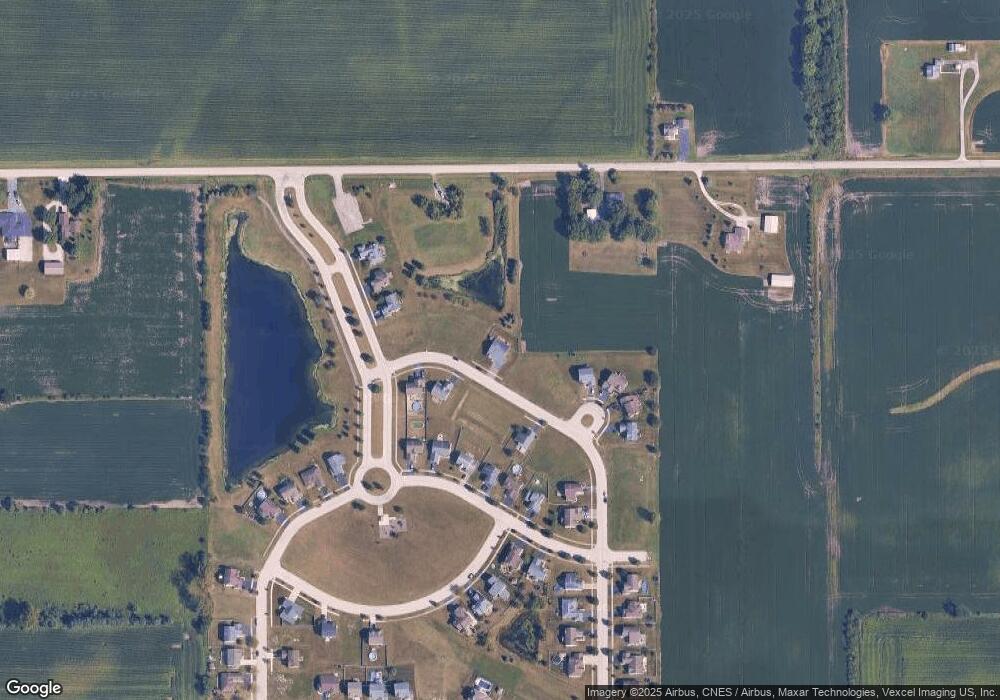
Map
Nearby Homes
- 325 Hunters Dr
- 1663 Sawgrass Ln
- 1665 Fox Hound Trail
- 000 W Eagle Lake Rd
- 401 Hunters Dr
- 1661 Rolling Pass
- 1670 Rolling Pass
- 1651 Rolling Pass
- 1660 Rolling Pass
- 1650 Rolling Pass
- 1665 Woodbury Bend
- 1641 Rolling Pass
- 1631 Rolling Pass
- 1640 Rolling Pass
- 284 Quail Hollow Dr
- 152 Woodbridge Ln
- The Waterside Plan at Hunter's Chase - Hunters Chase
- The Tiffany Plan at Hunter's Chase - Hunters Chase
- The Sutton Plan at Hunter's Chase - Hunters Chase
- The Sommerset Plan at Hunter's Chase - Hunters Chase
- 294 Monhegan Ave
- 280 Monhegan Ave
- 1997 W Cutler Ct
- 298 W Monhegan Ave
- 298 Monhegan Ave
- 291 Castine Way
- 285 Castine Way
- 2021 Millbridge Pkwy
- 2021 N Millbridge Pkwy
- 281 W Castine Way
- 299 Castine Way
- 1987 Cutler Ct
- 281 Castine Way
- 279 Castine Way
- 2031 Millbridge Pkwy
- 2031 N Millbridge Pkwy
- 1977 Cutler Ct
- 1957 Cutler Ct
- 269 W Castine Way
- 1928 Monhegan Ave