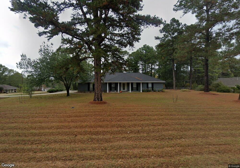
289 Wesley Dr Ruston, LA 71270
Estimated Value: $170,000 - $258,142
Studio
--
Bath
1,610
Sq Ft
$123/Sq Ft
Est. Value
About This Home
This home is located at 289 Wesley Dr, Ruston, LA 71270 and is currently estimated at $197,786, approximately $122 per square foot. 289 Wesley Dr is a home located in Lincoln Parish with nearby schools including Choudrant Elementary School, Choudrant High School, and Ruston Junior High School.
Ownership History
Date
Name
Owned For
Owner Type
Purchase Details
Closed on
Sep 22, 2025
Sold by
Douglas Church Inc
Bought by
Jones Jeremy and Jones Melanie
Current Estimated Value
Purchase Details
Closed on
May 29, 2014
Sold by
Fang Ji and Li Mulian
Bought by
Douglas United Methodist Church Inc
Home Financials for this Owner
Home Financials are based on the most recent Mortgage that was taken out on this home.
Original Mortgage
$109,951
Interest Rate
4.32%
Mortgage Type
New Conventional
Create a Home Valuation Report for This Property
The Home Valuation Report is an in-depth analysis detailing your home's value as well as a comparison with similar homes in the area
Purchase History
| Date | Buyer | Sale Price | Title Company |
|---|---|---|---|
| Jones Jeremy | $180,000 | Bayou Title | |
| Douglas United Methodist Church Inc | $157,900 | None Available |
Source: Public Records
Mortgage History
| Date | Status | Borrower | Loan Amount |
|---|---|---|---|
| Previous Owner | Douglas United Methodist Church Inc | $109,951 |
Source: Public Records
Tax History
| Year | Tax Paid | Tax Assessment Tax Assessment Total Assessment is a certain percentage of the fair market value that is determined by local assessors to be the total taxable value of land and additions on the property. | Land | Improvement |
|---|---|---|---|---|
| 2025 | $1,434 | $17,629 | $2,297 | $15,332 |
| 2024 | $72 | $0 | $0 | $0 |
| 2023 | $72 | $0 | $0 | $0 |
| 2022 | $72 | $0 | $0 | $0 |
| 2021 | $72 | $0 | $0 | $0 |
| 2020 | $72 | $0 | $0 | $0 |
| 2019 | $72 | $0 | $0 | $0 |
| 2018 | $72 | $0 | $0 | $0 |
| 2017 | $0 | $0 | $0 | $0 |
| 2016 | $0 | $0 | $0 | $0 |
| 2013 | $1,283 | $13,491 | $1,647 | $11,844 |
Source: Public Records
Map
Nearby Homes
- 145 Woodshire Ln
- 0 Stable Run Cir
- 173 Oak Alley Dr
- 135 Camillia Cir
- 197 Baxter Rd
- 209 Burgessville Rd
- 150 Burgessville Rd
- 294 Moody Rd
- 128 Marlou Cir
- 242 Turkey Creek Rd
- 144 Creeks Crossing
- 155 Creekside Dr
- 185 Mount Harmony Church Rd
- 634 Cheatwood Rd
- 0 Spillers Rd
- Lot 1B Unit 1 Harmony Church Rd
- 2420 Highway 33
- 112 Shade Tree Trace
- 641 Goodgoin Rd
- 136 Shade Tree Trace
Your Personal Tour Guide
Ask me questions while you tour the home.