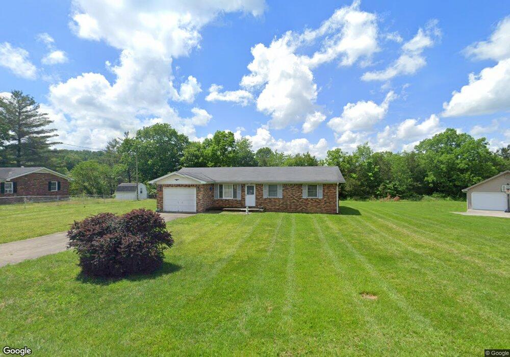
289 West St Brodhead, KY 40409
Estimated Value: $148,000 - $211,000
3
Beds
2
Baths
1,348
Sq Ft
$132/Sq Ft
Est. Value
About This Home
This home is located at 289 West St, Brodhead, KY 40409 and is currently estimated at $177,623, approximately $131 per square foot. 289 West St is a home with nearby schools including Rockcastle County High School.
Create a Home Valuation Report for This Property
The Home Valuation Report is an in-depth analysis detailing your home's value as well as a comparison with similar homes in the area
Tax History
| Year | Tax Paid | Tax Assessment Tax Assessment Total Assessment is a certain percentage of the fair market value that is determined by local assessors to be the total taxable value of land and additions on the property. | Land | Improvement |
|---|---|---|---|---|
| 2025 | $113 | $63,000 | $0 | $0 |
| 2024 | $136 | $63,000 | $0 | $0 |
| 2023 | $138 | $63,000 | $0 | $0 |
| 2022 | $150 | $58,800 | $0 | $0 |
| 2021 | $151 | $58,800 | $0 | $0 |
| 2020 | $151 | $57,600 | $0 | $0 |
| 2019 | $150 | $57,600 | $0 | $0 |
| 2018 | $150 | $55,900 | $0 | $0 |
| 2017 | $149 | $55,900 | $0 | $0 |
| 2016 | $151 | $55,900 | $0 | $0 |
| 2015 | -- | $49,900 | $0 | $0 |
| 2010 | -- | $47,000 | $0 | $0 |
Source: Public Records
Map
Nearby Homes
- 15 Lane St
- 152 Pike St
- 42 Pike St
- 476 Tyree St
- 5256 Hwy 1326
- 000 Dug Hill Rd Unit Tract 13
- 200 Rd
- 999 Tar Kiln
- 91 Barnett Rd
- 9550 Dysart Way
- 1450 Simpson Rd
- 215 Cooper Dr
- 2751 Brindle Ridge Rd
- 2727 Brindle Ridge Rd
- 573 Highway 1505
- 861 Barnett Rd
- 570 Edwards Rd
- 2999 Copper Creek Rd
- 1305 Maretburg Cemetery Rd
- 4065 Copper Creek Rd
Your Personal Tour Guide
Ask me questions while you tour the home.