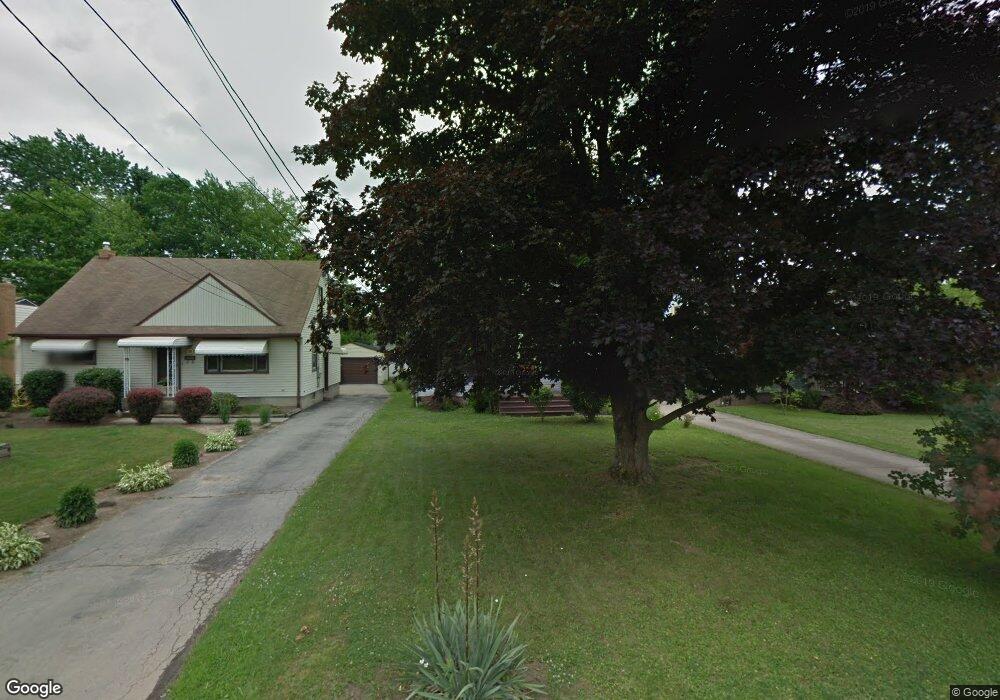
289 Westview Ave Hubbard, OH 44425
Estimated Value: $157,000 - $167,000
3
Beds
2
Baths
1,070
Sq Ft
$152/Sq Ft
Est. Value
About This Home
This home is located at 289 Westview Ave, Hubbard, OH 44425 and is currently estimated at $162,415, approximately $151 per square foot. 289 Westview Ave is a home located in Trumbull County with nearby schools including Hubbard Elementary School, Hubbard Middle School, and Hubbard High School.
Ownership History
Date
Name
Owned For
Owner Type
Purchase Details
Closed on
Oct 17, 2006
Sold by
Barwinski Donovan J
Bought by
Barwinski Thaddeus and Barwinski Frances
Current Estimated Value
Purchase Details
Closed on
Sep 20, 2006
Sold by
Barwinski Donovan J
Bought by
Barwinski Thaddeus and Barwinski Frances
Purchase Details
Closed on
Apr 6, 2004
Sold by
Forgacs Thomas and Forgacs Faith
Bought by
Barwinski Donovan J
Purchase Details
Closed on
Jan 1, 1990
Bought by
Thomas Thomas E and Thomas S
Create a Home Valuation Report for This Property
The Home Valuation Report is an in-depth analysis detailing your home's value as well as a comparison with similar homes in the area
Home Values in the Area
Average Home Value in this Area
Purchase History
| Date | Buyer | Sale Price | Title Company |
|---|---|---|---|
| Barwinski Thaddeus | -- | None Available | |
| Barwinski Thaddeus | -- | None Available | |
| Barwinski Donovan J | $85,000 | -- | |
| Thomas Thomas E | -- | -- |
Source: Public Records
Mortgage History
| Date | Status | Borrower | Loan Amount |
|---|---|---|---|
| Closed | Barwinski Donovan J | -- |
Source: Public Records
Tax History
| Year | Tax Paid | Tax Assessment Tax Assessment Total Assessment is a certain percentage of the fair market value that is determined by local assessors to be the total taxable value of land and additions on the property. | Land | Improvement |
|---|---|---|---|---|
| 2024 | $2,381 | $46,800 | $4,870 | $41,930 |
| 2023 | $2,340 | $46,800 | $4,870 | $41,930 |
| 2022 | $1,628 | $29,650 | $3,890 | $25,760 |
| 2021 | $1,635 | $29,650 | $3,890 | $25,760 |
| 2020 | $1,643 | $29,650 | $3,890 | $25,760 |
| 2019 | $1,488 | $25,730 | $3,890 | $21,840 |
| 2018 | $1,483 | $25,730 | $3,890 | $21,840 |
| 2017 | $1,479 | $25,730 | $3,890 | $21,840 |
| 2016 | $1,417 | $26,150 | $4,380 | $21,770 |
| 2015 | $1,422 | $26,150 | $4,380 | $21,770 |
| 2014 | $1,390 | $26,150 | $4,380 | $21,770 |
| 2013 | $1,388 | $26,150 | $4,380 | $21,770 |
Source: Public Records
Map
Nearby Homes
- 62 Jacobs Rd
- 3516 Roseview Dr
- 365 Scott St
- 911 Dogwood Dr SE
- 6095 Bell Ave
- 601 Wendemere Dr
- 585 Creekside Dr
- 203 Hager St
- 135 Clingan St
- 228 Stewart St
- 57 Belle Vista Ave
- 330 Myron St Unit 3
- V/L Jacobs Rd
- 2051 Blair Ave
- 2915 Megan Cir
- 239 Princeton Ave
- 3786 Choice Ct
- 132 Drummond Ave
- 1029 N Main St
- 396 Elizabeth St
- 283 Westview Ave
- 297 Westview Ave
- 275 Westview Ave
- 286 Parish Ave
- 301 Westview Ave
- 278 Parish Ave
- 263 Westview Ave
- 288 Westview Ave
- 272 Parish Ave
- 282 Westview Ave
- 296 Westview Ave
- 304 Parish Ave
- 274 Westview Ave
- 305 Westview Ave
- 268 Westview Ave
- 262 Parish Ave
- 304 Westview Ave
- 312 Parish Ave
- 262 Westview Ave
- 321 Westview Ave
Your Personal Tour Guide
Ask me questions while you tour the home.