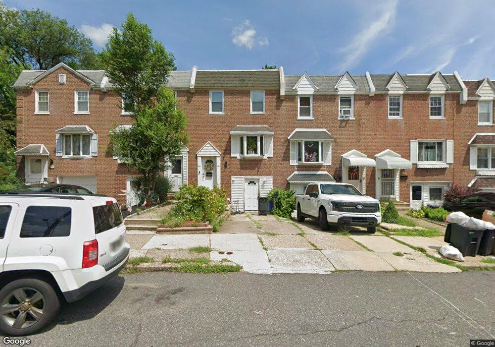
2890 Angus Rd Philadelphia, PA 19114
Torresdale NeighborhoodEstimated Value: $291,000 - $317,000
3
Beds
1
Bath
1,296
Sq Ft
$231/Sq Ft
Est. Value
About This Home
This home is located at 2890 Angus Rd, Philadelphia, PA 19114 and is currently estimated at $299,703, approximately $231 per square foot. 2890 Angus Rd is a home located in Philadelphia County with nearby schools including Lincoln High School, Robert B. Pollock School, and Meehan Austin Middle School.
Ownership History
Date
Name
Owned For
Owner Type
Purchase Details
Closed on
Feb 17, 2023
Sold by
Dolinskiy Sergey
Bought by
Dolinskaya Nataliya
Current Estimated Value
Purchase Details
Closed on
Dec 26, 2003
Sold by
Dolinskiy Sergey and Dolinskaya Nataliya
Bought by
Dolinskiy Sergey and Dolinskaya Nataliya
Home Financials for this Owner
Home Financials are based on the most recent Mortgage that was taken out on this home.
Original Mortgage
$125,037
Interest Rate
5.86%
Mortgage Type
FHA
Purchase Details
Closed on
Nov 6, 2003
Sold by
Vanarsdale Susan and Metzker Gloria J
Bought by
Dolinskiy Sergey and Dolinskaya Nataliya
Home Financials for this Owner
Home Financials are based on the most recent Mortgage that was taken out on this home.
Original Mortgage
$125,037
Interest Rate
5.86%
Mortgage Type
FHA
Create a Home Valuation Report for This Property
The Home Valuation Report is an in-depth analysis detailing your home's value as well as a comparison with similar homes in the area
Home Values in the Area
Average Home Value in this Area
Purchase History
| Date | Buyer | Sale Price | Title Company |
|---|---|---|---|
| Dolinskaya Nataliya | -- | None Listed On Document | |
| Dolinskiy Sergey | -- | -- | |
| Dolinskiy Sergey | $127,000 | Old Republic Natl Title Ins |
Source: Public Records
Mortgage History
| Date | Status | Borrower | Loan Amount |
|---|---|---|---|
| Previous Owner | Dolinskiy Sergey | $125,037 |
Source: Public Records
Tax History Compared to Growth
Tax History
| Year | Tax Paid | Tax Assessment Tax Assessment Total Assessment is a certain percentage of the fair market value that is determined by local assessors to be the total taxable value of land and additions on the property. | Land | Improvement |
|---|---|---|---|---|
| 2025 | $2,916 | $260,200 | $52,040 | $208,160 |
| 2024 | $2,916 | $260,200 | $52,040 | $208,160 |
| 2023 | $2,916 | $208,300 | $41,660 | $166,640 |
| 2022 | $1,732 | $163,300 | $41,660 | $121,640 |
| 2021 | $2,361 | $0 | $0 | $0 |
| 2020 | $2,361 | $0 | $0 | $0 |
| 2019 | $2,224 | $0 | $0 | $0 |
| 2018 | $2,103 | $0 | $0 | $0 |
| 2017 | $2,103 | $0 | $0 | $0 |
| 2016 | $1,683 | $0 | $0 | $0 |
| 2015 | $1,611 | $0 | $0 | $0 |
| 2014 | -- | $150,200 | $23,500 | $126,700 |
| 2012 | -- | $19,840 | $3,900 | $15,940 |
Source: Public Records
Map
Nearby Homes
- 2843 Woodbridge Rd
- 9428 Woodbridge Rd
- 2833 Saxton Rd
- 2710 Riverhouse Rd
- 9311 Andover Rd
- 3215 Brookdale Rd
- 9328 Academy Rd
- 2959 Tremont St
- 2738 Maxwell St
- 2831 Sebring Rd
- 9214 Andover Rd
- 9612 Convent Ave
- 3108 Fairfield St
- 3414 Aubrey Ave
- 2831 Chase Rd
- 9202 Treaty Rd
- 3416 Holyoke Rd
- 3427 Aubrey Ave
- 2777 Welsh Rd
- 3415 Holyoke Rd
- 2888 Angus Rd
- 2892 Angus Rd
- 2894 Angus Rd
- 2886 Angus Rd
- 2884 Angus Rd
- 2882 Angus Rd
- 2880 Angus Rd
- 9401 Woodbridge Rd
- 9403 Woodbridge Rd
- 2878 Angus Rd
- 9405 Woodbridge Rd
- 9407 Woodbridge Rd
- 9409 Woodbridge Rd
- 2879 Angus Rd
- 2876 Angus Rd
- 2844 Woodbridge Rd
- 9411 Woodbridge Rd
- 2877 Angus Rd
- 9413 Woodbridge Rd
- 2842 Woodbridge Rd