28908 Ropp Rd Geneseo, IL 61254
Estimated Value: $122,000 - $146,000
2
Beds
--
Bath
960
Sq Ft
$142/Sq Ft
Est. Value
About This Home
This home is located at 28908 Ropp Rd, Geneseo, IL 61254 and is currently estimated at $136,104, approximately $141 per square foot. 28908 Ropp Rd is a home with nearby schools including Geneseo High School.
Ownership History
Date
Name
Owned For
Owner Type
Purchase Details
Closed on
Jul 28, 2021
Sold by
Harlacher Gary Lee and Harlacher Gary L
Bought by
Blair Michael William
Current Estimated Value
Purchase Details
Closed on
Dec 2, 2016
Sold by
Fowler Paula R
Bought by
Harlacher Gary Lee
Home Financials for this Owner
Home Financials are based on the most recent Mortgage that was taken out on this home.
Original Mortgage
$68,400
Interest Rate
4.37%
Mortgage Type
New Conventional
Create a Home Valuation Report for This Property
The Home Valuation Report is an in-depth analysis detailing your home's value as well as a comparison with similar homes in the area
Home Values in the Area
Average Home Value in this Area
Purchase History
| Date | Buyer | Sale Price | Title Company |
|---|---|---|---|
| Blair Michael William | $100,000 | None Available | |
| Harlacher Gary Lee | $72,000 | Attorney |
Source: Public Records
Mortgage History
| Date | Status | Borrower | Loan Amount |
|---|---|---|---|
| Previous Owner | Harlacher Gary Lee | $68,400 |
Source: Public Records
Tax History Compared to Growth
Tax History
| Year | Tax Paid | Tax Assessment Tax Assessment Total Assessment is a certain percentage of the fair market value that is determined by local assessors to be the total taxable value of land and additions on the property. | Land | Improvement |
|---|---|---|---|---|
| 2024 | $2,163 | $35,317 | $11,073 | $24,244 |
| 2023 | $1,913 | $32,580 | $10,215 | $22,365 |
| 2022 | $1,997 | $33,161 | $9,406 | $23,755 |
| 2021 | $1,230 | $27,587 | $8,709 | $18,878 |
| 2020 | $1,164 | $26,846 | $8,475 | $18,371 |
| 2019 | $1,136 | $26,445 | $8,349 | $18,096 |
| 2018 | $1,083 | $25,675 | $8,106 | $17,569 |
| 2017 | $1,498 | $31,249 | $7,893 | $23,356 |
| 2016 | $1,860 | $31,094 | $7,854 | $23,240 |
| 2015 | $1,165 | $31,094 | $7,854 | $23,240 |
| 2013 | $1,165 | $31,408 | $7,933 | $23,475 |
Source: Public Records
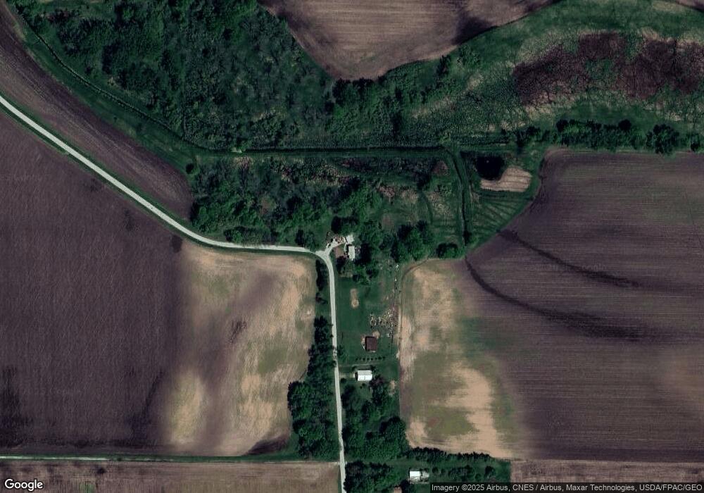
Map
Nearby Homes
- 543 Jackson St
- 424 Docia St
- 12 Timber Ln
- 13 Mary Lane Ct
- 5630 Moline Rd
- 3309 Valley Dr
- 5460 Moline Rd
- 3303 Valley Dr
- 109 Hillcrest Dr
- 226 Longview Ct
- 211 Longview Dr
- 159 Deer Park Dr
- 26299 1st Ave N
- 204 Amber Ln
- 7 Oak Grove Rd
- 9554 Rock River View
- 25622 1st Ave N
- 0 Banks Rd Unit MRD12481143
- 0 Banks Rd Unit 202506237
- 3913 229th Street Cir N
- 28909 Ropp Rd
- 28710 Ropp Rd
- 28800 Ropp Rd
- 28597 Ropp Rd
- 28232 Ropp Rd
- 28524 Ropp Rd
- 29260 Ropp Rd
- 29250 Ropp Rd
- 29333 Ropp Rd
- 29465 Ropp Rd
- 28536 Ropp Rd
- 29033 Dutch Bottom Rd
- 29566 Ropp Rd
- 29501 Ropp Rd
- 29159 Dutch Bottom Rd
- 5203 321st St N
- 29343 Dutch Bottom Rd
- 5229 321st St N
- 29411 Dutch Bottom Rd
- 29656 Ropp Rd