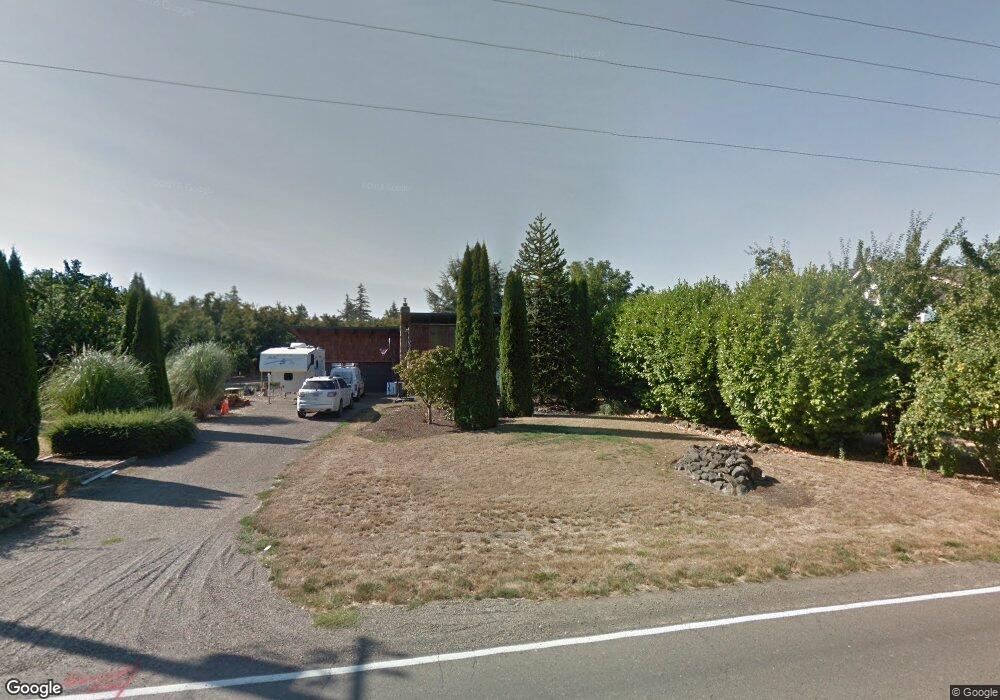
2892 Matheny Rd NE Gervais, OR 97026
Estimated Value: $559,000 - $633,000
3
Beds
2
Baths
2,128
Sq Ft
$277/Sq Ft
Est. Value
About This Home
This home is located at 2892 Matheny Rd NE, Gervais, OR 97026 and is currently estimated at $589,818, approximately $277 per square foot. 2892 Matheny Rd NE is a home located in Marion County with nearby schools including Gervais Middle School and Gervais High School.
Ownership History
Date
Name
Owned For
Owner Type
Purchase Details
Closed on
Sep 4, 2024
Sold by
Brassel James W and Brassel Carrie A
Bought by
Brassel Family Living Trust and Brassel
Current Estimated Value
Purchase Details
Closed on
Dec 14, 2006
Sold by
Mann Robert A and Mann Sally J
Bought by
Brassel James W and Brassel Carrie A
Home Financials for this Owner
Home Financials are based on the most recent Mortgage that was taken out on this home.
Original Mortgage
$239,200
Interest Rate
6.32%
Mortgage Type
Purchase Money Mortgage
Create a Home Valuation Report for This Property
The Home Valuation Report is an in-depth analysis detailing your home's value as well as a comparison with similar homes in the area
Home Values in the Area
Average Home Value in this Area
Purchase History
| Date | Buyer | Sale Price | Title Company |
|---|---|---|---|
| Brassel Family Living Trust | -- | None Listed On Document | |
| Brassel Family Living Trust | -- | None Listed On Document | |
| Brassel James W | $299,000 | Ticor Title |
Source: Public Records
Mortgage History
| Date | Status | Borrower | Loan Amount |
|---|---|---|---|
| Previous Owner | Brassel James W | $239,200 |
Source: Public Records
Tax History Compared to Growth
Tax History
| Year | Tax Paid | Tax Assessment Tax Assessment Total Assessment is a certain percentage of the fair market value that is determined by local assessors to be the total taxable value of land and additions on the property. | Land | Improvement |
|---|---|---|---|---|
| 2025 | $3,273 | $260,460 | -- | -- |
| 2024 | $3,273 | $252,880 | -- | -- |
| 2023 | $2,723 | $245,520 | $0 | $0 |
| 2022 | $2,576 | $238,370 | $0 | $0 |
| 2021 | $2,505 | $231,430 | $0 | $0 |
| 2020 | $2,433 | $224,690 | $0 | $0 |
| 2019 | $2,362 | $218,150 | $0 | $0 |
| 2018 | $2,291 | $0 | $0 | $0 |
| 2017 | $2,220 | $0 | $0 | $0 |
| 2016 | $2,164 | $0 | $0 | $0 |
| 2015 | $2,116 | $0 | $0 | $0 |
| 2014 | $2,024 | $0 | $0 | $0 |
Source: Public Records
Map
Nearby Homes
- Lot 1 Matheny Rd NE
- 0 Matheny (Lot1) Rd Unit 24267162
- 0000 River Rd NE
- 0 SE Upper Island Rd
- 21841 SE Grand Island Loop
- 0000 Huff Ave NE
- 24925 Wallace Rd NW
- 9342 Hallelujah Dr NE
- 9334 Glory Ct NE
- 9285 Fellowship Ave NE
- 5643 Tumbleweed Cir NE
- 8295 Wheatland Rd N
- 5717 Tumbleweed Cir NE
- 5663 Tumbleweed Cir NE
- 5848 Tumbleweed Cir NE
- 5225 Ramp St NE
- 9145 Wallace Rd NW
- 17780 SE Wallace Rd
- 1545 Dale Ave NE
- 1545 Dale Ave