28920 Bridge Rd Hermiston, OR 97838
Estimated Value: $578,888 - $623,000
3
Beds
2
Baths
3,724
Sq Ft
$163/Sq Ft
Est. Value
About This Home
This home is located at 28920 Bridge Rd, Hermiston, OR 97838 and is currently estimated at $606,296, approximately $162 per square foot. 28920 Bridge Rd is a home with nearby schools including West Park Elementary School, Armand Larive Middle School, and Hermiston High School.
Ownership History
Date
Name
Owned For
Owner Type
Purchase Details
Closed on
Feb 22, 2021
Sold by
Moltman Burdette L and Moltman Janell L
Bought by
Hug Anthony R and Hug Chey Anne
Current Estimated Value
Purchase Details
Closed on
Aug 24, 2011
Sold by
Moltman Barbara R
Bought by
Moltman Burdette L and Moltman Janell L
Create a Home Valuation Report for This Property
The Home Valuation Report is an in-depth analysis detailing your home's value as well as a comparison with similar homes in the area
Home Values in the Area
Average Home Value in this Area
Purchase History
| Date | Buyer | Sale Price | Title Company |
|---|---|---|---|
| Hug Anthony R | -- | None Available | |
| Moltman Burdette L | -- | None Available |
Source: Public Records
Tax History Compared to Growth
Tax History
| Year | Tax Paid | Tax Assessment Tax Assessment Total Assessment is a certain percentage of the fair market value that is determined by local assessors to be the total taxable value of land and additions on the property. | Land | Improvement |
|---|---|---|---|---|
| 2024 | $4,448 | $293,280 | $50,840 | $242,440 |
| 2023 | $4,439 | $284,740 | $49,360 | $235,380 |
| 2022 | $4,161 | $276,455 | $0 | $0 |
| 2021 | $1,065 | $68,190 | $49,810 | $18,380 |
| 2020 | $1,026 | $66,210 | $48,360 | $17,850 |
| 2018 | $1,002 | $62,420 | $45,580 | $16,840 |
| 2017 | $980 | $60,610 | $44,260 | $16,350 |
| 2016 | $948 | $58,850 | $42,980 | $15,870 |
| 2015 | $860 | $51,370 | $36,850 | $14,520 |
| 2014 | $823 | $51,370 | $36,850 | $14,520 |
Source: Public Records
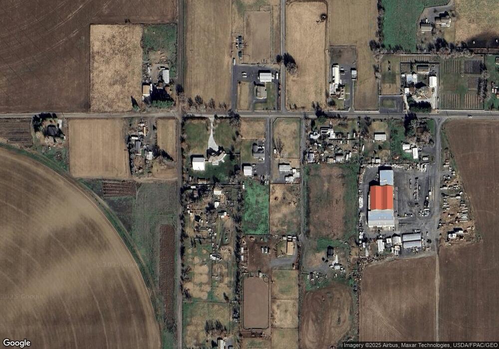
Map
Nearby Homes
- 78718 Echols Rd
- 1382 SW Riverhill Dr
- 1030 SW 11th St Unit 33
- 1255 SW Sandy Dr
- 10 SW Sunrise Ct
- 1175 SW Sandy Dr
- 915 SW Coyote Dr
- 1825 W Highland Ave
- 1031 SW Olive Ct
- 305 NW 9th Place
- 540 NW 10th St
- 1795 NW 11th St
- 880 W Quince Ave
- 885 W Duane Ave
- 1675 NW 11th St
- 1791 NW 11th St
- 863 W Hartley Ave
- 854 W Hartley Ave
- 820 W Tamarack Ave
- 825 W Ridgeway Ave
- 28924 Bridge Rd
- 28872 Bridge Rd
- 79245 Mary Ln
- 28926 Bridge Rd
- 28927 Bridge Rd
- 79181 Mary Ln
- 29086 Bridge Rd
- 29081 Bridge Rd
- 79133 Walker Rd
- 79300 Hurricane Ln
- 28992 Wilgers Way
- 79349 Walker Rd
- 29099 Bridge Rd
- 79381 Walker Rd
- 79102 Walker Rd
- 79316 Hurricane Ln
- 28995 Wilgers Way
- 29019 Wilgers Way
- 79419 Walker Rd
- 29033 Wilgers Way