2894 Josh Deal Rd Statesboro, GA 30458
Estimated Value: $378,000 - $1,240,363
2
Beds
1
Bath
1,740
Sq Ft
$465/Sq Ft
Est. Value
About This Home
This home is located at 2894 Josh Deal Rd, Statesboro, GA 30458 and is currently estimated at $809,182, approximately $465 per square foot. 2894 Josh Deal Rd is a home with nearby schools including Langston Chapel Elementary School, Statesboro High School, and Langston Chapel Middle School.
Ownership History
Date
Name
Owned For
Owner Type
Purchase Details
Closed on
Jan 25, 2021
Sold by
Brannen Jack A
Bought by
Brannen Family Land Co Llc
Current Estimated Value
Purchase Details
Closed on
Jan 2, 2009
Sold by
Brannen Jack A
Bought by
Brannen Jack A
Purchase Details
Closed on
Dec 18, 2008
Sold by
Not Provided
Bought by
Brannen Jack A
Purchase Details
Closed on
Dec 15, 2008
Sold by
Not Provided
Bought by
Brannen Jack A
Purchase Details
Closed on
Mar 1, 1986
Bought by
Brannen Jack A
Create a Home Valuation Report for This Property
The Home Valuation Report is an in-depth analysis detailing your home's value as well as a comparison with similar homes in the area
Home Values in the Area
Average Home Value in this Area
Purchase History
| Date | Buyer | Sale Price | Title Company |
|---|---|---|---|
| Brannen Family Land Co Llc | -- | -- | |
| Brannen Jack A | -- | -- | |
| Brannen Jack A | -- | -- | |
| Brannen Jack A | -- | -- | |
| Brannen Jack A | -- | -- |
Source: Public Records
Tax History Compared to Growth
Tax History
| Year | Tax Paid | Tax Assessment Tax Assessment Total Assessment is a certain percentage of the fair market value that is determined by local assessors to be the total taxable value of land and additions on the property. | Land | Improvement |
|---|---|---|---|---|
| 2024 | $2,703 | $353,496 | $276,800 | $76,696 |
| 2023 | $2,414 | $249,700 | $192,120 | $57,580 |
| 2022 | $1,961 | $213,734 | $162,794 | $50,940 |
| 2021 | $1,852 | $207,556 | $162,794 | $44,762 |
| 2020 | $1,794 | $177,311 | $135,657 | $41,654 |
| 2019 | $1,786 | $177,497 | $135,657 | $41,840 |
| 2018 | $1,659 | $154,134 | $115,277 | $38,857 |
| 2017 | $1,623 | $152,570 | $115,277 | $37,293 |
| 2016 | $1,636 | $39,373 | $2,378 | $36,995 |
| 2015 | $1,606 | $38,619 | $2,378 | $36,242 |
| 2014 | $1,462 | $38,619 | $2,378 | $36,242 |
Source: Public Records
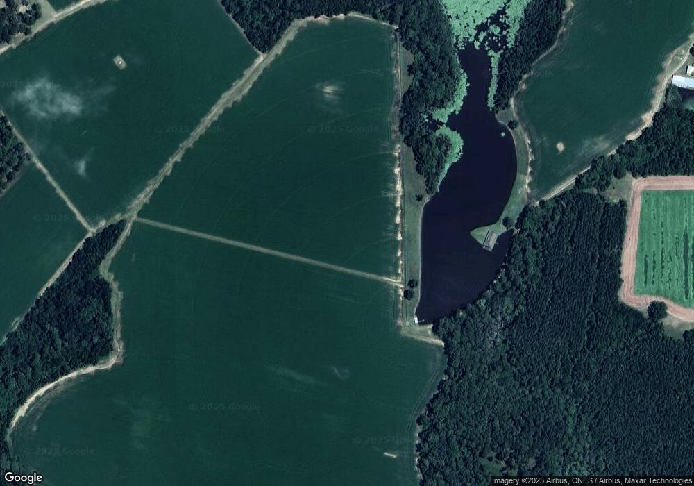
Map
Nearby Homes
- 101 Old Barn Rd
- 315 Shallow Well Ct
- 525 Saint Andrews Cir
- 149 Griffith Ln
- 112 Enclave Ct
- 1503 Cayla Way
- 126 Enclave Ct
- 1501 Cayla Way
- 1713 Muirfield Dr
- 1300 Kermit Dr
- 369 Glazebrook Ave
- 367 Glazebrook Ave
- 365 Glazebrook Ave
- 357 Glazebrook Ave
- 412 Mayberry Way
- 178 Stonebrook Way
- 512 Colquitt Ln
- 509 Colquitt Ln
- 171 Stonebrook Way
- 633 Hampstead Ave
- 2213 Oakridge Trail
- 1022 Golf Club Rd
- 1020 Golf Club Rd
- 1018 Golf Club Rd
- 1016 Golf Club Rd
- 1036 Golf Club Rd
- 1036 Golf Club Rd
- 528 Saint Andrews Cir Unit 29
- 516 Saint Andrews Cir
- 1023 Golf Club Rd
- 1025 Golf Club Rd
- 1027 Golf Club Rd
- 1031 Golf Club Rd
- 1017 Golf Club Rd
- 1029 Golf Club Rd
- 1015 Golf Club Rd
- 2312 Burkhalter Rd
- 1046 Golf Club Rd
- 2210 Oakridge Trail
- 993 Golf Club Rd