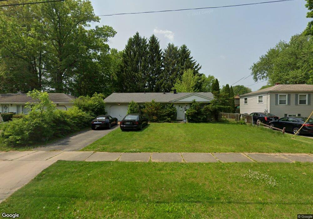
2895 Tod Ave NW Warren, OH 44485
Northeast Warren NeighborhoodEstimated Value: $79,000 - $94,000
3
Beds
1
Bath
1,008
Sq Ft
$88/Sq Ft
Est. Value
About This Home
This home is located at 2895 Tod Ave NW, Warren, OH 44485 and is currently estimated at $88,547, approximately $87 per square foot. 2895 Tod Ave NW is a home located in Trumbull County with nearby schools including McGuffey School, Warren G. Harding High School, and Steam Academy of Warren.
Ownership History
Date
Name
Owned For
Owner Type
Purchase Details
Closed on
Sep 30, 2005
Sold by
Kornmueller Emily M
Bought by
Ranck John S
Current Estimated Value
Home Financials for this Owner
Home Financials are based on the most recent Mortgage that was taken out on this home.
Original Mortgage
$56,000
Outstanding Balance
$30,294
Interest Rate
5.93%
Mortgage Type
VA
Estimated Equity
$58,253
Purchase Details
Closed on
Sep 23, 2005
Sold by
Kornmueller Emily M
Bought by
Ranck John S
Home Financials for this Owner
Home Financials are based on the most recent Mortgage that was taken out on this home.
Original Mortgage
$56,000
Outstanding Balance
$30,294
Interest Rate
5.93%
Mortgage Type
VA
Estimated Equity
$58,253
Purchase Details
Closed on
Jan 1, 1990
Bought by
Emily M Kornmueller
Create a Home Valuation Report for This Property
The Home Valuation Report is an in-depth analysis detailing your home's value as well as a comparison with similar homes in the area
Home Values in the Area
Average Home Value in this Area
Purchase History
| Date | Buyer | Sale Price | Title Company |
|---|---|---|---|
| Ranck John S | $56,000 | -- | |
| Ranck John S | $56,000 | -- | |
| Emily M Kornmueller | -- | -- |
Source: Public Records
Mortgage History
| Date | Status | Borrower | Loan Amount |
|---|---|---|---|
| Open | Ranck John S | $56,000 | |
| Closed | Ranck John S | $56,000 |
Source: Public Records
Tax History Compared to Growth
Tax History
| Year | Tax Paid | Tax Assessment Tax Assessment Total Assessment is a certain percentage of the fair market value that is determined by local assessors to be the total taxable value of land and additions on the property. | Land | Improvement |
|---|---|---|---|---|
| 2024 | $14 | $19,880 | $2,520 | $17,360 |
| 2023 | $14 | $19,880 | $2,520 | $17,360 |
| 2022 | $0 | $13,720 | $2,520 | $11,200 |
| 2021 | $887 | $13,720 | $2,520 | $11,200 |
| 2020 | $887 | $13,720 | $2,520 | $11,200 |
| 2019 | $887 | $13,200 | $2,520 | $10,680 |
| 2018 | $0 | $13,200 | $2,520 | $10,680 |
| 2017 | $887 | $13,200 | $2,520 | $10,680 |
| 2016 | $845 | $13,020 | $3,150 | $9,870 |
| 2015 | $839 | $13,020 | $3,150 | $9,870 |
| 2014 | $834 | $13,020 | $3,150 | $9,870 |
| 2013 | $830 | $13,650 | $3,150 | $10,500 |
Source: Public Records
Map
Nearby Homes
- 2821 Tod Ave NW
- 1305 Dodge Dr NW
- 2780 Lexington Ave NW
- 2365 Tod Ave NW
- 803 Hawthorne Ave NW
- 1736 Westwood Dr NW
- 3389 Bon Air Ave NW
- 1785 Dodge Dr NW
- 1331 Bradford St NW
- 3241 Lynwood Dr NW
- 3580 Woodside Dr NW
- 3768 Tod Ave NW
- 1945 Norwood St NW
- 2476 Beal St NW
- 2835 Crestwood Dr NW
- 1935 Northfield Ave NW
- 783 Packard St NW
- 1325 Moncrest Dr NW
- 753 Packard St NW
- 1810 Northfield Ave NW
- 2883 Tod Ave NW
- 2919 Tod
- 2871 Tod Ave NW
- 2919 North Rd NE Unit TOD
- 2857 Tod Ave NW
- 2845 Tod Ave NW
- 2943 North Rd NE
- 2833 Tod Ave NW
- 2952 Red Fox Run Dr NW
- 2955 North Rd NE
- 2955 Tod Ave NW
- 2965 Tod Ave NW
- 2980 Red Fox Run Dr NW
- 2809 Tod Ave NW
- 2977 Tod Ave NW
- 2990 Red Fox Run Dr NW
- 3000 Red Fox Run Dr NW
- 2797 Tod Ave NW
- 2979 Red Fox Run Dr NW
- 3005 Tod Ave NW