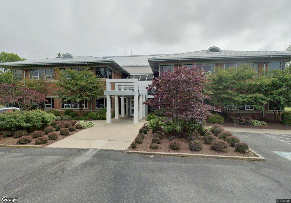
28969 Information Ln Easton, MD 21601
Estimated Value: $5,111,207
--
Bed
--
Bath
19,996
Sq Ft
$256/Sq Ft
Est. Value
About This Home
This home is located at 28969 Information Ln, Easton, MD 21601 and is currently estimated at $5,111,207, approximately $255 per square foot. 28969 Information Ln is a home located in Talbot County with nearby schools including St. Michaels Elementary School, St. Michaels Middle/High School, and Easton High School.
Ownership History
Date
Name
Owned For
Owner Type
Purchase Details
Closed on
Sep 23, 2019
Sold by
Shore Bancshares Inc
Bought by
Shore United Bank
Current Estimated Value
Purchase Details
Closed on
Aug 26, 2003
Sold by
Maryland Economic Development
Bought by
Shore Bancshares Inc
Purchase Details
Closed on
Jun 25, 1999
Sold by
Easton Technology Center Llc
Bought by
Maryland Economic Development
Create a Home Valuation Report for This Property
The Home Valuation Report is an in-depth analysis detailing your home's value as well as a comparison with similar homes in the area
Home Values in the Area
Average Home Value in this Area
Purchase History
| Date | Buyer | Sale Price | Title Company |
|---|---|---|---|
| Shore United Bank | -- | None Available | |
| Shore Bancshares Inc | $2,686,000 | -- | |
| Maryland Economic Development | $294,500 | -- |
Source: Public Records
Tax History Compared to Growth
Tax History
| Year | Tax Paid | Tax Assessment Tax Assessment Total Assessment is a certain percentage of the fair market value that is determined by local assessors to be the total taxable value of land and additions on the property. | Land | Improvement |
|---|---|---|---|---|
| 2025 | $19,647 | $2,723,600 | $0 | $0 |
| 2024 | $19,647 | $2,573,500 | $515,300 | $2,058,200 |
| 2023 | $18,215 | $2,542,633 | $0 | $0 |
| 2022 | $16,465 | $2,511,767 | $0 | $0 |
| 2021 | $31,273 | $2,480,900 | $386,400 | $2,094,500 |
| 2020 | $15,127 | $2,475,200 | $0 | $0 |
| 2019 | $15,093 | $2,469,500 | $0 | $0 |
| 2018 | $14,299 | $2,463,800 | $386,400 | $2,077,400 |
| 2017 | $12,731 | $2,441,600 | $0 | $0 |
| 2016 | $12,249 | $2,419,400 | $0 | $0 |
| 2015 | $11,508 | $2,397,200 | $0 | $0 |
| 2014 | $11,508 | $2,397,200 | $0 | $0 |
Source: Public Records
Map
Nearby Homes
- 29 Kensington Dr
- Lot 12 Price St
- 11 Park Ln
- 3 Park Ln
- 12 Park Ln
- 0 Ocean Gateway Unit MDTA2008568
- 0 Ocean Gateway Unit MDTA2009628
- 0 Ocean Gateway Unit 20568200
- 12 Curzon Ct
- 10118 Hiners Ln
- 9043 Ocean Gateway
- 9134 Honeysuckle Dr
- 9236 Chapel Rd
- 13 Sandy Ln
- 14 Sandy Ln
- 18 Sandy Ln
- 8800 Roundhouse Cir
- 106 Sycamore Ave
- 0 Cordova Rd Unit MDTA2009734
- 29414 Andrew Ln
- 0 Information Ln Unit 1006804120
- 0 Information Ln Unit 1000048629
- 0 Information Ln Unit 1004485292
- 48 Technology Dr
- 28966 Information Ln
- 29000 Information Ln Unit 501-507
- 29000 Information Ln
- 29000 Information Ln Unit 204-205
- 29000 501 Information Ln Unit 501
- 28937 I Way Ct
- 53 Information Ln
- 0 I-Way Ct Unit TA7380229
- 0 I-Way Ct Unit TA7524549
- 8 I-Way Ct
- 0 I-Way Ct Unit 1009158642
- 11 I-Way Ct
- 22585 I Way Ct
- 8- I Way Court I Way Ct
- 8- I Way Court 3030 I-Way
- 29051 Corkran Rd