2899 N Lagoon Dr Port Clinton, OH 43452
Estimated Value: $420,000 - $556,000
2
Beds
1
Bath
1,232
Sq Ft
$373/Sq Ft
Est. Value
About This Home
This home is located at 2899 N Lagoon Dr, Port Clinton, OH 43452 and is currently estimated at $459,502, approximately $372 per square foot. 2899 N Lagoon Dr is a home located in Ottawa County with nearby schools including Bataan Memorial Primary School, Bataan Memorial Intermediate School, and Port Clinton Middle School.
Ownership History
Date
Name
Owned For
Owner Type
Purchase Details
Closed on
Aug 11, 2004
Sold by
Schultz Bernard John and Schultz Dorothy Emma
Bought by
Smith Tab L and Smith Sharon M
Current Estimated Value
Home Financials for this Owner
Home Financials are based on the most recent Mortgage that was taken out on this home.
Original Mortgage
$93,000
Interest Rate
6.87%
Mortgage Type
Purchase Money Mortgage
Purchase Details
Closed on
Nov 4, 1991
Sold by
Davenport Chas and Davenport Peg J
Bought by
Schultz Bernard and Schultz Dorothy
Create a Home Valuation Report for This Property
The Home Valuation Report is an in-depth analysis detailing your home's value as well as a comparison with similar homes in the area
Home Values in the Area
Average Home Value in this Area
Purchase History
| Date | Buyer | Sale Price | Title Company |
|---|---|---|---|
| Smith Tab L | $93,000 | Progressive Land Title | |
| Schultz Bernard | $63,000 | -- |
Source: Public Records
Mortgage History
| Date | Status | Borrower | Loan Amount |
|---|---|---|---|
| Closed | Smith Tab L | $93,000 |
Source: Public Records
Tax History Compared to Growth
Tax History
| Year | Tax Paid | Tax Assessment Tax Assessment Total Assessment is a certain percentage of the fair market value that is determined by local assessors to be the total taxable value of land and additions on the property. | Land | Improvement |
|---|---|---|---|---|
| 2024 | $2,919 | $90,035 | $54,807 | $35,228 |
| 2023 | $2,919 | $45,465 | $43,841 | $1,624 |
| 2022 | $1,619 | $45,465 | $43,841 | $1,624 |
| 2021 | $1,617 | $45,460 | $43,840 | $1,620 |
| 2020 | $1,091 | $29,510 | $28,280 | $1,230 |
| 2019 | $1,080 | $29,510 | $28,280 | $1,230 |
| 2018 | $1,123 | $29,510 | $28,280 | $1,230 |
| 2017 | $1,159 | $30,040 | $28,280 | $1,760 |
| 2016 | $1,162 | $30,040 | $28,280 | $1,760 |
| 2015 | $1,167 | $30,040 | $28,280 | $1,760 |
| 2014 | $570 | $29,970 | $28,280 | $1,690 |
| 2013 | $571 | $29,970 | $28,280 | $1,690 |
Source: Public Records
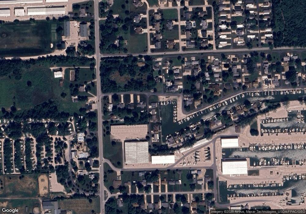
Map
Nearby Homes
- 2970 N Swift Dr
- 3046 N Searay Dr
- 5411 E Channel Dr
- 2734 NE Catawba Rd
- 2629 NE Catawba Rd
- 5510 E Center Ln
- 5475 E Mabel Dr
- 2822 N Noreaster Cove Dr
- 5601 E Pittsburgh St
- 2888 N Coho Dr
- 2901 Villa Ct Unit C
- 4862 Tradewinds Dr
- 2750 Canterbury Cir Unit C
- 2769 Canterbury Cir
- 2769 N Canterbury Cir Unit B
- 2914 N Perch Row
- 2591 N Torino Dr
- 2855 N Canterbury Cir Unit A
- 3575 NE Catawba Rd Unit 29
- 3575 NE Catawba Rd Unit 5
- 2889 N Lagoon Dr
- 2879 N Lagoon Dr
- 5480 E Commodore Dr
- 2859 N Lagoon Dr
- 5460 E Commodore Dr
- 2954 N Chickadee Dr
- 2936 N Killdeer Dr
- 2849 N Lagoon Dr
- 5575 E Commodore Dr
- 5440 E Commodore Dr
- 2960 N Killdeer Dr
- 2969 N Chickadee Dr
- 5531 E Eagle Dr
- 0 N Chickadee Dr
- 2976 N Chickadee Dr
- 5543 E Eagle Dr
- 2972 N Killdeer Dr
- 5595 E Commodore Dr
- 5595 E Commodore Dr
- 2974 N Chickadee Dr