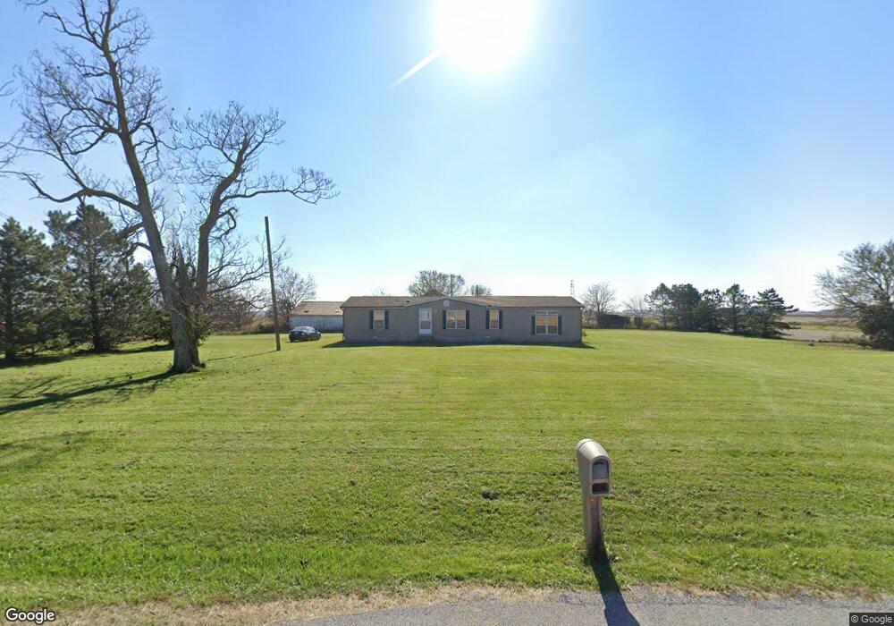
28998 State Route 67 Waynesfield, OH 45896
Estimated Value: $244,431 - $293,000
3
Beds
2
Baths
1,782
Sq Ft
$149/Sq Ft
Est. Value
About This Home
This home is located at 28998 State Route 67, Waynesfield, OH 45896 and is currently estimated at $265,858, approximately $149 per square foot. 28998 State Route 67 is a home located in Auglaize County with nearby schools including Waynesfield-Goshen Local Elementary School and Waynesfield-Goshen Local High School.
Ownership History
Date
Name
Owned For
Owner Type
Purchase Details
Closed on
Jun 29, 1995
Bought by
Burden Rodger S
Current Estimated Value
Purchase Details
Closed on
Sep 3, 1992
Bought by
Mcbride M Josephine
Create a Home Valuation Report for This Property
The Home Valuation Report is an in-depth analysis detailing your home's value as well as a comparison with similar homes in the area
Home Values in the Area
Average Home Value in this Area
Purchase History
| Date | Buyer | Sale Price | Title Company |
|---|---|---|---|
| Burden Rodger S | $27,500 | -- | |
| Mcbride M Josephine | $210,000 | -- |
Source: Public Records
Tax History Compared to Growth
Tax History
| Year | Tax Paid | Tax Assessment Tax Assessment Total Assessment is a certain percentage of the fair market value that is determined by local assessors to be the total taxable value of land and additions on the property. | Land | Improvement |
|---|---|---|---|---|
| 2024 | $3,785 | $60,180 | $8,280 | $51,900 |
| 2023 | $2,106 | $60,180 | $8,280 | $51,900 |
| 2022 | $1,693 | $40,830 | $7,700 | $33,130 |
| 2021 | $1,680 | $40,830 | $7,700 | $33,130 |
| 2020 | $1,653 | $40,831 | $7,700 | $33,131 |
| 2019 | $1,397 | $34,024 | $6,416 | $27,608 |
| 2018 | $1,323 | $34,024 | $6,416 | $27,608 |
| 2017 | $1,307 | $34,024 | $6,416 | $27,608 |
| 2016 | $1,331 | $35,830 | $6,111 | $29,719 |
| 2015 | $678 | $35,830 | $6,111 | $29,719 |
| 2014 | $1,357 | $35,830 | $6,111 | $29,719 |
| 2013 | $1,480 | $35,830 | $6,111 | $29,719 |
Source: Public Records
Map
Nearby Homes
- 0 Ohio 235
- 25836 Ohio 67
- 202 W Mulberry St
- 105 Guthrie St
- 8150 Amherst Rd
- 2444 County Road 200
- 13793 Ohio 235 Unit 75
- 14918 Township Road 55
- 11588 Blackhawk Path
- 15527 State Route 235
- 11524 Powhatan Path
- 11496 Powhatan Path
- 11377 Township Road 266 Unit 99
- 11377 Township Road 266 Unit 34
- 11377 Township Road 266 Unit 28
- 11377 Township Road 266 Unit 109
- 11377 Township Rd 266 Unit 66
- 11377 Township Rd 266 Unit 30
- 11377 Township Rd 266 Unit 59
- 13501 Eagle Path
- 28680 State Route 67
- 28400 State Route 67
- 17533 State Route 117
- 17313 State Route 117
- 17490 State Route 117
- 16636 Akers Rd
- 16522 Akers Rd
- 16697 Akers Rd
- 16609 Akers Rd
- 17233 State Route 117
- 17409 Akers Rd
- 16472 Akers Rd
- 29878 State Route 67
- 29772 Ohio 67
- 29898 State Route 67
- 29898 Ohio 67
- 29965 State Route 67
- 17106 State Route 117
- 29988 State Route 67