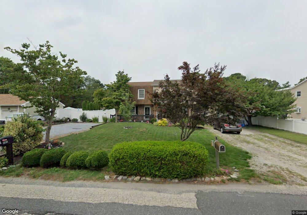
28D New Bridge Rd Unit D Ocean View, NJ 08230
Estimated Value: $294,798 - $368,000
--
Bed
--
Bath
1,420
Sq Ft
$231/Sq Ft
Est. Value
About This Home
This home is located at 28D New Bridge Rd Unit D, Ocean View, NJ 08230 and is currently estimated at $328,450, approximately $231 per square foot. 28D New Bridge Rd Unit D is a home located in Cape May County with nearby schools including Upper Township Primary School, Upper Township Elementary School, and Upper Township Middle School.
Ownership History
Date
Name
Owned For
Owner Type
Purchase Details
Closed on
Sep 21, 2006
Sold by
Hart Matthew and Brown Angela
Bought by
Oreilly Sean and Oreilly Kim
Current Estimated Value
Home Financials for this Owner
Home Financials are based on the most recent Mortgage that was taken out on this home.
Original Mortgage
$45,000
Outstanding Balance
$26,971
Interest Rate
6.54%
Mortgage Type
Stand Alone Second
Estimated Equity
$301,479
Purchase Details
Closed on
Jun 30, 2001
Sold by
Olandt John A
Bought by
Brown Angela
Home Financials for this Owner
Home Financials are based on the most recent Mortgage that was taken out on this home.
Original Mortgage
$90,500
Interest Rate
7.21%
Purchase Details
Closed on
Feb 28, 1992
Sold by
Olandt Kevin J and Olandt Carol A
Bought by
Olandt John A and Olandt Stacy J
Purchase Details
Closed on
Aug 18, 1988
Sold by
Corrigan Edward and Corrigan Cheryl
Bought by
Olandt Kevin
Create a Home Valuation Report for This Property
The Home Valuation Report is an in-depth analysis detailing your home's value as well as a comparison with similar homes in the area
Home Values in the Area
Average Home Value in this Area
Purchase History
| Date | Buyer | Sale Price | Title Company |
|---|---|---|---|
| Oreilly Sean | $225,000 | The Title Company Of Jersey | |
| Brown Angela | $90,500 | -- | |
| Olandt John A | $80,000 | -- | |
| Olandt Kevin | $72,500 | -- |
Source: Public Records
Mortgage History
| Date | Status | Borrower | Loan Amount |
|---|---|---|---|
| Open | Oreilly Sean | $45,000 | |
| Open | Oreilly Sean | $180,000 | |
| Previous Owner | Brown Angela | $90,500 |
Source: Public Records
Tax History Compared to Growth
Tax History
| Year | Tax Paid | Tax Assessment Tax Assessment Total Assessment is a certain percentage of the fair market value that is determined by local assessors to be the total taxable value of land and additions on the property. | Land | Improvement |
|---|---|---|---|---|
| 2025 | $4,055 | $176,700 | $67,500 | $109,200 |
| 2024 | $4,055 | $176,700 | $67,500 | $109,200 |
| 2023 | $3,856 | $176,700 | $67,500 | $109,200 |
| 2022 | $3,727 | $176,700 | $67,500 | $109,200 |
| 2021 | $3,596 | $176,700 | $67,500 | $109,200 |
| 2020 | $3,460 | $176,700 | $67,500 | $109,200 |
| 2019 | $3,377 | $176,700 | $67,500 | $109,200 |
| 2018 | $3,290 | $176,700 | $67,500 | $109,200 |
| 2017 | $3,463 | $188,100 | $67,500 | $120,600 |
| 2016 | $3,517 | $188,100 | $67,500 | $120,600 |
| 2015 | $3,425 | $188,100 | $67,500 | $120,600 |
| 2014 | $3,390 | $228,000 | $137,900 | $90,100 |
Source: Public Records
Map
Nearby Homes
- 28 New Bridge Rd
- 28C New Bridge Rd Unit G
- 28 New Bridge Rd - C
- 26 New Bridge Rd
- 34 New Bridge Rd
- 30 New Bridge Rd Unit E
- 30 New Bridge Rd
- 30F New Bridge Rd
- 24B New Bridge Rd
- 24A New Bridge Rd Unit A
- 24 New Bridge Rd
- 2 Cole Ave
- 4 Cole Ave
- 22 New Bridge Rd
- 32 New Bridge Rd Unit 32B New Bridge
- 32 New Bridge Rd
- 32 New Bridge Rd
- 32 New Bridge Rd Unit B
- 32 New Bridge Rd Unit A
- 3 Somers Ave