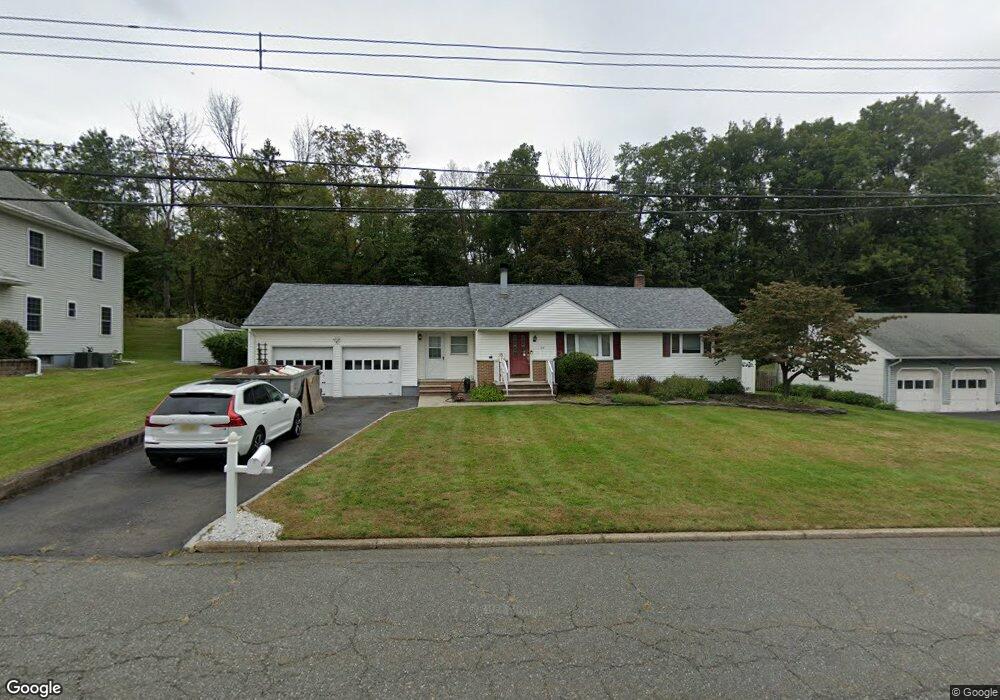
29 Alan Dr Parsippany, NJ 07054
Estimated Value: $653,000 - $723,000
--
Bed
--
Bath
1,372
Sq Ft
$497/Sq Ft
Est. Value
About This Home
This home is located at 29 Alan Dr, Parsippany, NJ 07054 and is currently estimated at $682,013, approximately $497 per square foot. 29 Alan Dr is a home located in Morris County with nearby schools including Troy Hills School, Central Middle School, and Parsippany High School.
Ownership History
Date
Name
Owned For
Owner Type
Purchase Details
Closed on
Feb 25, 2010
Sold by
Carlin Donald J and Carlin Virginia M
Bought by
Cooper Brian and Cooper Michelle
Current Estimated Value
Home Financials for this Owner
Home Financials are based on the most recent Mortgage that was taken out on this home.
Original Mortgage
$356,100
Outstanding Balance
$234,630
Interest Rate
5.02%
Mortgage Type
FHA
Estimated Equity
$447,383
Purchase Details
Closed on
Jan 26, 1999
Sold by
Carlin Donald J and Carlin Virginia M
Bought by
Carlin Virginia M
Create a Home Valuation Report for This Property
The Home Valuation Report is an in-depth analysis detailing your home's value as well as a comparison with similar homes in the area
Home Values in the Area
Average Home Value in this Area
Purchase History
| Date | Buyer | Sale Price | Title Company |
|---|---|---|---|
| Cooper Brian | $410,000 | Fidelity Natl Title Ins Co | |
| Carlin Virginia M | -- | -- |
Source: Public Records
Mortgage History
| Date | Status | Borrower | Loan Amount |
|---|---|---|---|
| Open | Cooper Brian | $356,100 |
Source: Public Records
Tax History Compared to Growth
Tax History
| Year | Tax Paid | Tax Assessment Tax Assessment Total Assessment is a certain percentage of the fair market value that is determined by local assessors to be the total taxable value of land and additions on the property. | Land | Improvement |
|---|---|---|---|---|
| 2025 | $11,763 | $333,600 | $180,000 | $153,600 |
| 2024 | $11,134 | $333,600 | $180,000 | $153,600 |
| 2023 | $11,134 | $321,800 | $180,000 | $141,800 |
| 2022 | $10,388 | $321,800 | $180,000 | $141,800 |
| 2021 | $10,388 | $321,800 | $180,000 | $141,800 |
| 2020 | $10,166 | $321,800 | $180,000 | $141,800 |
| 2019 | $9,449 | $307,700 | $180,000 | $127,700 |
| 2018 | $9,240 | $307,700 | $180,000 | $127,700 |
| 2017 | $9,022 | $307,700 | $180,000 | $127,700 |
| 2016 | $8,859 | $307,700 | $180,000 | $127,700 |
| 2015 | $8,634 | $307,700 | $180,000 | $127,700 |
| 2014 | $8,514 | $307,700 | $180,000 | $127,700 |
Source: Public Records
Map
Nearby Homes