29 Anderson Ln East Wenatchee, WA 98802
Estimated Value: $2,127,709 - $2,731,000
7
Beds
7
Baths
9,802
Sq Ft
$248/Sq Ft
Est. Value
About This Home
This home is located at 29 Anderson Ln, East Wenatchee, WA 98802 and is currently estimated at $2,429,355, approximately $247 per square foot. 29 Anderson Ln is a home with nearby schools including Rock Island Elementary School, Clovis Point Intermediate School, and Eastmont Junior High School.
Ownership History
Date
Name
Owned For
Owner Type
Purchase Details
Closed on
Nov 4, 2022
Sold by
Tyree Jeff
Bought by
Hardway Holdings Llc
Current Estimated Value
Purchase Details
Closed on
Nov 20, 2012
Sold by
Tyree Lynn
Bought by
Tyree Jeff
Create a Home Valuation Report for This Property
The Home Valuation Report is an in-depth analysis detailing your home's value as well as a comparison with similar homes in the area
Home Values in the Area
Average Home Value in this Area
Purchase History
| Date | Buyer | Sale Price | Title Company |
|---|---|---|---|
| Hardway Holdings Llc | -- | Cw Title | |
| Tyree Jeff | -- | None Available |
Source: Public Records
Tax History Compared to Growth
Tax History
| Year | Tax Paid | Tax Assessment Tax Assessment Total Assessment is a certain percentage of the fair market value that is determined by local assessors to be the total taxable value of land and additions on the property. | Land | Improvement |
|---|---|---|---|---|
| 2025 | $900 | $1,884,900 | $201,000 | $1,683,900 |
| 2024 | $14,782 | $1,650,300 | $221,100 | $1,429,200 |
| 2023 | $16,094 | $1,551,100 | $221,100 | $1,330,000 |
| 2022 | $15,451 | $1,390,400 | $148,000 | $1,242,400 |
| 2021 | $3,502 | $1,390,400 | $148,000 | $1,242,400 |
| 2020 | $13,905 | $1,080,900 | $104,000 | $976,900 |
| 2018 | $11,384 | $929,400 | $148,000 | $781,400 |
| 2017 | $9,947 | $929,400 | $148,000 | $781,400 |
| 2016 | $9,924 | $872,800 | $148,000 | $724,800 |
| 2015 | $10,347 | $872,800 | $148,000 | $724,800 |
| 2014 | -- | $872,800 | $148,000 | $724,800 |
| 2013 | -- | $872,800 | $148,000 | $724,800 |
Source: Public Records
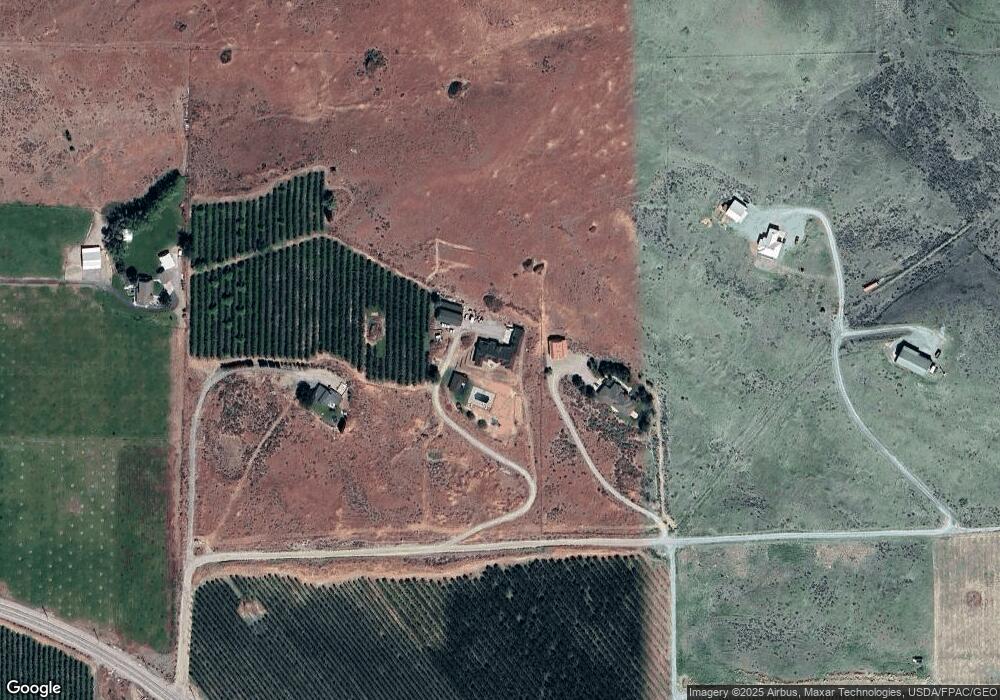
Map
Nearby Homes
- 35 Anderson Ln
- 6330 Batterman Rd
- 41 Anderson Ln
- 5900 Batterman Rd
- 47 Anderson Ln
- 6349 Batterman Rd
- 0 Unassigned Unit NWM2287333
- 6162 Batterman Rd
- 888 Kean Grade Rd
- 888 Rock Island Grade Rd
- 8888 Keane Grade Rd
- 6134 Terrace Place
- 0 Keane Grade Unit NWM1696810
- 0 Keane Grade Unit NWM1411677
- 6109 Batterman Rd
- 6136 Terrace Place
- 23 Sageland
- 49 Sageland
- 19 Ohrazda Ln
- 11 Ohrazda Ln