29 Angelfish Cay Dr Key Largo, FL 33037
North Key Largo NeighborhoodEstimated Value: $5,713,000
4
Beds
4
Baths
6,847
Sq Ft
$834/Sq Ft
Est. Value
About This Home
This home is located at 29 Angelfish Cay Dr, Key Largo, FL 33037 and is currently estimated at $5,713,000, approximately $834 per square foot. 29 Angelfish Cay Dr is a home located in Monroe County with nearby schools including Key Largo School, Coral Shores High School, and The Academy at Ocean Reef.
Ownership History
Date
Name
Owned For
Owner Type
Purchase Details
Closed on
Mar 29, 2011
Sold by
Aiken Jean Daenzer and Daenzer Peter B
Bought by
Hill Keith and Hill Diane
Current Estimated Value
Purchase Details
Closed on
Mar 20, 2006
Sold by
Daenzer Bernard J
Bought by
Daenzer Bernard J and Valerie A Daenzer Trust
Purchase Details
Closed on
Feb 24, 2004
Sold by
Daenzer Bernard J and Daenzer Valerie A
Bought by
Daenzer Valerie A
Purchase Details
Closed on
Feb 1, 1976
Bought by
Hill Keith and Hill Diane
Create a Home Valuation Report for This Property
The Home Valuation Report is an in-depth analysis detailing your home's value as well as a comparison with similar homes in the area
Home Values in the Area
Average Home Value in this Area
Purchase History
| Date | Buyer | Sale Price | Title Company |
|---|---|---|---|
| Hill Keith | -- | First American Title Ins Co | |
| Hill Keith | $4,760,000 | First American Title Ins Co | |
| Daenzer Bernard J | -- | Attorney | |
| Daenzer Valerie A | -- | -- | |
| Hill Keith | $110,000 | -- |
Source: Public Records
Tax History Compared to Growth
Tax History
| Year | Tax Paid | Tax Assessment Tax Assessment Total Assessment is a certain percentage of the fair market value that is determined by local assessors to be the total taxable value of land and additions on the property. | Land | Improvement |
|---|---|---|---|---|
| 2024 | $88,631 | $18,158,389 | $13,287,155 | $4,871,234 |
| 2023 | $88,631 | $17,515,436 | $12,300,999 | $5,214,437 |
| 2022 | $74,330 | $13,986,996 | $8,563,987 | $5,423,009 |
| 2021 | $65,843 | $10,602,455 | $6,737,947 | $3,864,508 |
| 2020 | $63,825 | $10,644,079 | $6,737,947 | $3,906,132 |
| 2019 | $61,007 | $10,542,228 | $6,591,470 | $3,950,758 |
| 2018 | $58,921 | $10,283,996 | $6,643,578 | $3,640,418 |
| 2017 | $55,744 | $10,010,579 | $0 | $0 |
| 2016 | $51,801 | $8,675,470 | $0 | $0 |
| 2015 | $45,564 | $7,109,305 | $0 | $0 |
| 2014 | $43,223 | $6,594,218 | $0 | $0 |
Source: Public Records
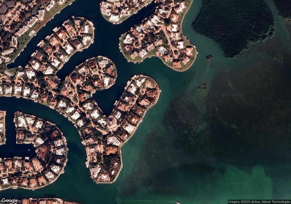
Map
Nearby Homes
- 64 Tarpon Ln
- 18 Anchor Dr Unit B
- 16 Osprey Ln
- 17 Osprey Ln
- 10 Cannon Point
- 9 Gulf Dr
- 10 Mahogany Ln
- 365 S Harbor Dr
- 31 S Carysfort Cir
- 0 167th & Card Sound Rd Unit F10511744
- 10987 County Road 905
- 0 NW 0 Unit A11794670
- 0 NW 0 Unit A11775209
- 133 Valois Blvd
- 0 Unit 616391
- 410xx SW 122 Ave
- 400xx SW 122 Ave
- 18 Palm Dr
- 25 N Ocean Dr
- 15 N Ocean Dr
- 28 Angelfish Cay Dr
- 30 Angelfish Cay Dr
- 34 Angelfish Cay Dr
- 33 Angelfish Cay Dr
- 27 Angelfish Cay Dr
- 32 Angelfish Cay Dr
- 35 Angelfish Cay Dr
- 36 Angelfish Cay Dr
- 26 Angelfish Cay Dr
- 25 Angelfish Cay Dr
- 44 Spadefish Ln
- 45 Spadefish Ln
- 38 Angelfish Cay Dr
- 87 Snapper Ln Unit B
- 87 Snapper Ln Unit A
- 67 Pumpkin Cay Rd Unit A
- 67 Pumpkin Cay Rd Unit B
- 65 Pumpkin Cay Rd Unit B
- 65 Pumpkin Cay Rd Unit A
- 24 Angelfish Cay Dr