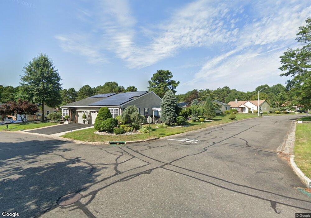
29 Ardmore St Whiting, NJ 08759
Estimated Value: $237,000 - $303,000
2
Beds
2
Baths
1,219
Sq Ft
$214/Sq Ft
Est. Value
About This Home
This home is located at 29 Ardmore St, Whiting, NJ 08759 and is currently estimated at $261,409, approximately $214 per square foot. 29 Ardmore St is a home located in Ocean County with nearby schools including Manchester Township High School.
Ownership History
Date
Name
Owned For
Owner Type
Purchase Details
Closed on
Jun 13, 2000
Sold by
Pierno Susan
Bought by
Capo Ralph and Levy Joyce
Current Estimated Value
Home Financials for this Owner
Home Financials are based on the most recent Mortgage that was taken out on this home.
Original Mortgage
$78,850
Outstanding Balance
$27,837
Interest Rate
8.24%
Estimated Equity
$233,572
Create a Home Valuation Report for This Property
The Home Valuation Report is an in-depth analysis detailing your home's value as well as a comparison with similar homes in the area
Home Values in the Area
Average Home Value in this Area
Purchase History
| Date | Buyer | Sale Price | Title Company |
|---|---|---|---|
| Capo Ralph | $83,000 | -- |
Source: Public Records
Mortgage History
| Date | Status | Borrower | Loan Amount |
|---|---|---|---|
| Open | Capo Ralph | $78,850 |
Source: Public Records
Tax History
| Year | Tax Paid | Tax Assessment Tax Assessment Total Assessment is a certain percentage of the fair market value that is determined by local assessors to be the total taxable value of land and additions on the property. | Land | Improvement |
|---|---|---|---|---|
| 2025 | $3,624 | $249,100 | $59,900 | $189,200 |
| 2024 | $2,854 | $122,500 | $13,500 | $109,000 |
| 2023 | $2,713 | $122,500 | $13,500 | $109,000 |
| 2022 | $2,713 | $122,500 | $13,500 | $109,000 |
| 2021 | $2,655 | $122,500 | $13,500 | $109,000 |
| 2020 | $2,585 | $122,500 | $13,500 | $109,000 |
| 2019 | $2,337 | $91,100 | $13,500 | $77,600 |
| 2018 | $2,328 | $91,100 | $13,500 | $77,600 |
| 2017 | $2,337 | $91,100 | $13,500 | $77,600 |
| 2016 | $2,308 | $91,100 | $13,500 | $77,600 |
| 2015 | $2,266 | $91,100 | $13,500 | $77,600 |
| 2014 | $2,219 | $91,100 | $13,500 | $77,600 |
Source: Public Records
Map
Nearby Homes
- 30 Easton Dr Unit B
- 29B Easton Dr
- 69D Sunset Rd Unit 60
- 8 Abbey Ln
- 19 Dartmouth St
- 4 Stonybrook Ct Unit 60
- 12C Easton Dr
- 65A Sunset Rd Unit 60
- 6B Ardmore St
- 14 Medford Rd Unit 61
- 1B Greenwood Ln Unit B
- 33 Medford Rd Unit A
- 23 B Portsmouth St Sec 55
- 23B Portsmouth St
- 19B Medford Rd Unit 61
- 1 Quincy Dr Unit D
- 1A Graystone Place
- 5B Greenwood Ln Unit 62
- 4 Quincy Dr Unit D
- 7B Greenwood Ln Unit 62
- 30 Easton Dr Unit C
- 20 Easton Dr Unit A
- 31 Ardmore St
- 66A Sunset Rd
- 27 Ardmore St
- 27 Ardmore St Unit 61
- 66B Sunset Rd
- 66B Sunset Rd Unit A
- 68 Sunset Rd
- 68 Sunset Rd Unit 61
- 25 Ardmore St
- 32D Easton Dr
- 32C Easton Dr
- 30C Easton Dr
- 30C Easton Dr Unit 61
- 30C Easton Dr Unit C
- 30D Easton Dr
- 23A Ardmore St
- 23A Ardmore St
- 64A Sunset Rd
Your Personal Tour Guide
Ask me questions while you tour the home.