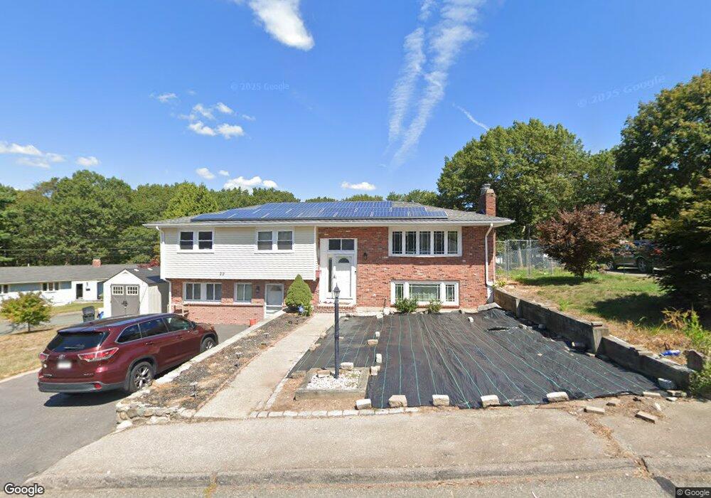
29 Barry St Randolph, MA 02368
North Randolph NeighborhoodEstimated Value: $654,000 - $903,000
4
Beds
3
Baths
3,708
Sq Ft
$207/Sq Ft
Est. Value
About This Home
This home is located at 29 Barry St, Randolph, MA 02368 and is currently estimated at $768,301, approximately $207 per square foot. 29 Barry St is a home located in Norfolk County with nearby schools including Randolph High School.
Ownership History
Date
Name
Owned For
Owner Type
Purchase Details
Closed on
Sep 3, 2010
Sold by
Horizon 1 Llc
Bought by
Achiri Achiri F
Current Estimated Value
Home Financials for this Owner
Home Financials are based on the most recent Mortgage that was taken out on this home.
Original Mortgage
$275,542
Outstanding Balance
$182,962
Interest Rate
4.55%
Mortgage Type
Purchase Money Mortgage
Estimated Equity
$585,339
Purchase Details
Closed on
Jul 9, 2009
Sold by
First Tennessee Bank N
Bought by
Horizon 01 Llc
Purchase Details
Closed on
Nov 27, 2007
Sold by
Finn Kenneth A
Bought by
First Tennessee Bk
Purchase Details
Closed on
Sep 28, 1998
Sold by
Donaher Karen
Bought by
Finn Kenneth A and Finn Joycelyn
Home Financials for this Owner
Home Financials are based on the most recent Mortgage that was taken out on this home.
Original Mortgage
$197,100
Interest Rate
6.87%
Mortgage Type
Purchase Money Mortgage
Purchase Details
Closed on
Aug 13, 1993
Sold by
Domesek Sumner L and Domesek Beatrice S
Bought by
Dalesio Karen
Home Financials for this Owner
Home Financials are based on the most recent Mortgage that was taken out on this home.
Original Mortgage
$136,800
Interest Rate
7.16%
Mortgage Type
Purchase Money Mortgage
Create a Home Valuation Report for This Property
The Home Valuation Report is an in-depth analysis detailing your home's value as well as a comparison with similar homes in the area
Home Values in the Area
Average Home Value in this Area
Purchase History
| Date | Buyer | Sale Price | Title Company |
|---|---|---|---|
| Achiri Achiri F | $280,625 | -- | |
| Horizon 01 Llc | -- | -- | |
| First Tennessee Bk | $366,000 | -- | |
| Finn Kenneth A | $219,000 | -- | |
| Dalesio Karen | $152,000 | -- |
Source: Public Records
Mortgage History
| Date | Status | Borrower | Loan Amount |
|---|---|---|---|
| Open | Achiri Achiri F | $275,542 | |
| Previous Owner | Dalesio Karen | $197,100 | |
| Previous Owner | Dalesio Karen | $136,800 |
Source: Public Records
Tax History
| Year | Tax Paid | Tax Assessment Tax Assessment Total Assessment is a certain percentage of the fair market value that is determined by local assessors to be the total taxable value of land and additions on the property. | Land | Improvement |
|---|---|---|---|---|
| 2025 | $7,989 | $688,100 | $253,500 | $434,600 |
| 2024 | $7,843 | $685,000 | $248,500 | $436,500 |
| 2023 | $7,416 | $613,900 | $225,900 | $388,000 |
| 2022 | $7,152 | $525,900 | $188,300 | $337,600 |
| 2021 | $7,009 | $474,200 | $156,900 | $317,300 |
| 2020 | $7,038 | $472,000 | $156,900 | $315,100 |
| 2019 | $6,957 | $464,400 | $149,300 | $315,100 |
| 2018 | $6,974 | $439,200 | $135,800 | $303,400 |
| 2017 | $6,504 | $402,000 | $129,300 | $272,700 |
| 2016 | $6,396 | $367,800 | $117,600 | $250,200 |
| 2015 | $6,469 | $357,400 | $112,000 | $245,400 |
Source: Public Records
Map
Nearby Homes
- 902 Irving Rd Unit 902
- 232 Canton St Unit 308
- 232 Canton St Unit 104
- 6 Washington Dr
- 10 Michael Rd
- 4 Franklin Square Unit 4F
- 140 York St
- 195 High St
- 51 Himoor Cir
- 79 Gold St
- 72 Canton St
- 23 Old St
- 9 Royal Crest Dr Unit 12
- 875 N Main St
- 43 Emily Jeffers Rd
- 35 Turnpike St
- 20 Simmonds Blvd Unit 20
- 18 Simmonds Blvd Unit 18
- 8 Simmonds Blvd Unit 8
- 22 Simmonds Blvd Unit 22
Your Personal Tour Guide
Ask me questions while you tour the home.