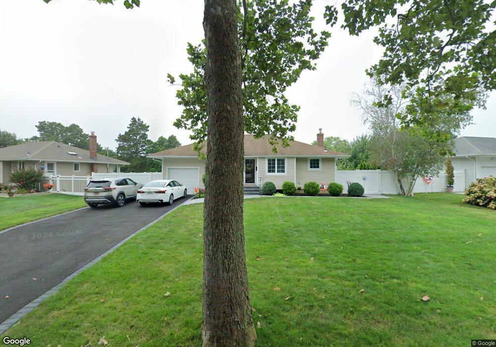
29 Baylor Dr Smithtown, NY 11787
Estimated Value: $663,000 - $712,000
3
Beds
1
Bath
1,022
Sq Ft
$672/Sq Ft
Est. Value
About This Home
This home is located at 29 Baylor Dr, Smithtown, NY 11787 and is currently estimated at $686,858, approximately $672 per square foot. 29 Baylor Dr is a home located in Suffolk County with nearby schools including Dogwood Elementary School, St Patrick Elementary School, and Ss Philip & James School.
Ownership History
Date
Name
Owned For
Owner Type
Purchase Details
Closed on
Jun 6, 2022
Sold by
Gervasi Joseph P
Bought by
Gervasi Joseph P and Gervasi Denise D
Current Estimated Value
Purchase Details
Closed on
Aug 23, 2021
Sold by
Camella Jonathan and Camella Elizaveta
Bought by
Gervasi Joseph P
Home Financials for this Owner
Home Financials are based on the most recent Mortgage that was taken out on this home.
Original Mortgage
$463,500
Interest Rate
2.8%
Mortgage Type
Purchase Money Mortgage
Purchase Details
Closed on
Aug 11, 2016
Sold by
Reilly Victoria and Estate Of Edna Terrett
Bought by
Camella Jonathan and Camella Elizaveta
Home Financials for this Owner
Home Financials are based on the most recent Mortgage that was taken out on this home.
Original Mortgage
$311,050
Interest Rate
3.42%
Mortgage Type
New Conventional
Create a Home Valuation Report for This Property
The Home Valuation Report is an in-depth analysis detailing your home's value as well as a comparison with similar homes in the area
Home Values in the Area
Average Home Value in this Area
Purchase History
| Date | Buyer | Sale Price | Title Company |
|---|---|---|---|
| Gervasi Joseph P | -- | None Available | |
| Gervasi Joseph P | $515,000 | None Available | |
| Camella Jonathan | $327,500 | None Available |
Source: Public Records
Mortgage History
| Date | Status | Borrower | Loan Amount |
|---|---|---|---|
| Previous Owner | Gervasi Joseph P | $463,500 | |
| Previous Owner | Camella Jonathan | $311,050 |
Source: Public Records
Tax History
| Year | Tax Paid | Tax Assessment Tax Assessment Total Assessment is a certain percentage of the fair market value that is determined by local assessors to be the total taxable value of land and additions on the property. | Land | Improvement |
|---|---|---|---|---|
| 2024 | $10,198 | $3,870 | $315 | $3,555 |
| 2023 | $10,198 | $3,870 | $315 | $3,555 |
| 2022 | $5,374 | $3,870 | $315 | $3,555 |
| 2021 | $6,844 | $3,870 | $315 | $3,555 |
| 2020 | $9,694 | $3,870 | $315 | $3,555 |
| 2019 | $9,694 | $0 | $0 | $0 |
| 2018 | -- | $3,870 | $315 | $3,555 |
| 2017 | $9,060 | $3,870 | $315 | $3,555 |
| 2016 | $9,967 | $3,870 | $315 | $3,555 |
| 2015 | -- | $3,870 | $315 | $3,555 |
| 2014 | -- | $3,870 | $315 | $3,555 |
Source: Public Records
Map
Nearby Homes
Your Personal Tour Guide
Ask me questions while you tour the home.