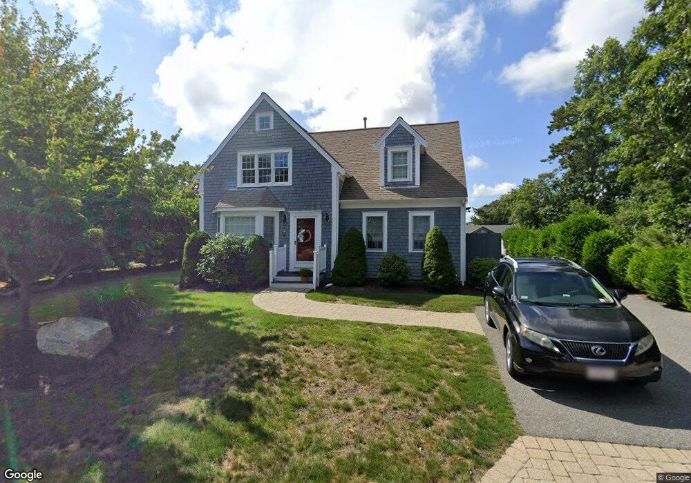
29 Beaten Rd Dennis Port, MA 02639
Dennis Port NeighborhoodEstimated Value: $677,000 - $1,136,000
3
Beds
3
Baths
1,880
Sq Ft
$497/Sq Ft
Est. Value
About This Home
This home is located at 29 Beaten Rd, Dennis Port, MA 02639 and is currently estimated at $934,626, approximately $497 per square foot. 29 Beaten Rd is a home located in Barnstable County with nearby schools including Dennis-Yarmouth Regional High School and St. Pius X. School.
Ownership History
Date
Name
Owned For
Owner Type
Purchase Details
Closed on
Sep 26, 2014
Sold by
Foley Michele A
Bought by
Michele A Foley T
Current Estimated Value
Purchase Details
Closed on
Jun 18, 1985
Bought by
Michele A Foley T
Create a Home Valuation Report for This Property
The Home Valuation Report is an in-depth analysis detailing your home's value as well as a comparison with similar homes in the area
Home Values in the Area
Average Home Value in this Area
Purchase History
| Date | Buyer | Sale Price | Title Company |
|---|---|---|---|
| Michele A Foley T | -- | -- | |
| Michele A Foley T | $52,700 | -- |
Source: Public Records
Tax History Compared to Growth
Tax History
| Year | Tax Paid | Tax Assessment Tax Assessment Total Assessment is a certain percentage of the fair market value that is determined by local assessors to be the total taxable value of land and additions on the property. | Land | Improvement |
|---|---|---|---|---|
| 2025 | $4,108 | $948,800 | $288,900 | $659,900 |
| 2024 | $4,048 | $922,100 | $277,800 | $644,300 |
| 2023 | $3,944 | $844,600 | $252,500 | $592,100 |
| 2022 | $3,610 | $644,700 | $199,100 | $445,600 |
| 2021 | $3,525 | $584,600 | $195,200 | $389,400 |
| 2020 | $3,453 | $566,100 | $195,200 | $370,900 |
| 2019 | $5,941 | $506,600 | $207,700 | $298,900 |
| 2018 | $3,083 | $486,200 | $197,800 | $288,400 |
| 2017 | $2,894 | $470,500 | $182,100 | $288,400 |
| 2016 | $2,723 | $417,000 | $171,700 | $245,300 |
| 2015 | $2,669 | $417,000 | $171,700 | $245,300 |
| 2014 | $2,533 | $398,900 | $161,300 | $237,600 |
Source: Public Records
Map
Nearby Homes
- 37 Ocean Dr Unit 2
- 64 Beaten Rd
- 112 Old Wharf Rd Unit E4
- 112 Old Wharf Rd Unit E1
- 120 Old Wharf Rd Unit 11
- 154 Old Wharf Rd Unit 26
- 154 Old Wharf Rd Unit 14
- 80 Michaels Ave
- 217 Old Wharf Rd Unit 64
- 241 Old Wharf Rd Unit 82
- 241 Old Wharf Rd Unit 127
- 241 Old Wharf Rd Unit 90
- 31 Easy St
- 262 Old Wharf Rd Unit 67
- 262 Old Wharf Rd Unit 5
- 262 Old Wharf Rd Unit 5
- 262 Old Wharf Rd Unit 20
- 262 Old Wharf Rd Unit 87
- 37 Beach Hills Rd
- 37-A Beach Hills Rd