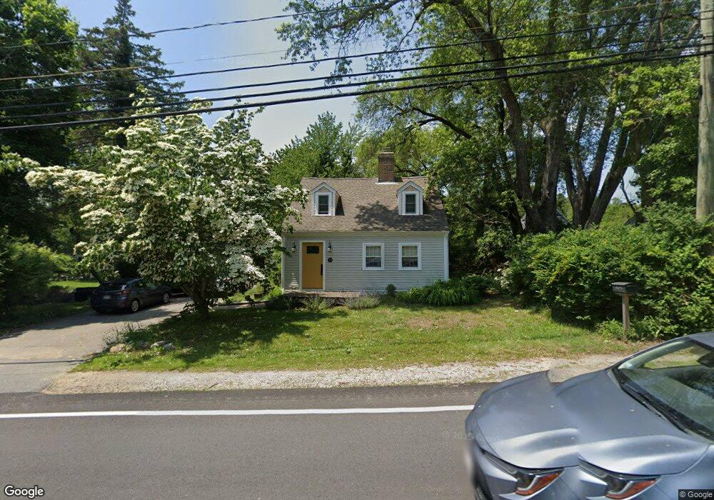
29 Beaver Dam Rd Plymouth, MA 02360
Estimated Value: $586,000 - $646,000
4
Beds
2
Baths
1,731
Sq Ft
$352/Sq Ft
Est. Value
About This Home
This home is located at 29 Beaver Dam Rd, Plymouth, MA 02360 and is currently estimated at $609,430, approximately $352 per square foot. 29 Beaver Dam Rd is a home located in Plymouth County with nearby schools including Manomet Elementary School, Plymouth Community Intermediate, and Plymouth North High School.
Ownership History
Date
Name
Owned For
Owner Type
Purchase Details
Closed on
Jan 12, 2000
Sold by
Mulvaney Thomas R
Bought by
Donkin Clark R and Zariello Laure N
Current Estimated Value
Purchase Details
Closed on
Feb 28, 1992
Sold by
Rockland Tr Co
Bought by
Mulvaney Thomas R and Mulvaney Marybeth
Create a Home Valuation Report for This Property
The Home Valuation Report is an in-depth analysis detailing your home's value as well as a comparison with similar homes in the area
Home Values in the Area
Average Home Value in this Area
Purchase History
| Date | Buyer | Sale Price | Title Company |
|---|---|---|---|
| Donkin Clark R | $210,000 | -- | |
| Donkin Clark R | $210,000 | -- | |
| Mulvaney Thomas R | $75,000 | -- | |
| Mulvaney Thomas R | $75,000 | -- | |
| Mulvaney Thomas R | $75,000 | -- | |
| Mulvaney Thomas R | $75,000 | -- |
Source: Public Records
Mortgage History
| Date | Status | Borrower | Loan Amount |
|---|---|---|---|
| Open | Mulvaney Thomas R | $176,600 |
Source: Public Records
Tax History Compared to Growth
Tax History
| Year | Tax Paid | Tax Assessment Tax Assessment Total Assessment is a certain percentage of the fair market value that is determined by local assessors to be the total taxable value of land and additions on the property. | Land | Improvement |
|---|---|---|---|---|
| 2025 | $6,398 | $504,200 | $216,400 | $287,800 |
| 2024 | $6,121 | $475,600 | $197,400 | $278,200 |
| 2023 | $5,980 | $436,200 | $177,400 | $258,800 |
| 2022 | $5,820 | $377,200 | $167,200 | $210,000 |
| 2021 | $5,609 | $347,100 | $167,200 | $179,900 |
| 2020 | $5,378 | $328,900 | $152,200 | $176,700 |
| 2019 | $3,634 | $319,000 | $142,200 | $176,800 |
| 2018 | $5,058 | $307,300 | $132,200 | $175,100 |
| 2017 | $4,609 | $278,000 | $132,200 | $145,800 |
| 2016 | $4,362 | $268,100 | $122,200 | $145,900 |
| 2015 | $4,098 | $263,700 | $117,200 | $146,500 |
| 2014 | $3,652 | $241,400 | $117,200 | $124,200 |
Source: Public Records
Map
Nearby Homes
- 14 O'Toole Rd Unit 14
- 4 Old Field Rd Unit 4
- 4 Old Field Rd
- 11 Stone Hill
- 15 Cedar Rd
- 814 Rocky Hill Rd
- 10 Tideview Path Unit 16
- 10 Tideview Path Unit 18
- 10 Tideview Path Unit 13
- 9 Tideview Path Unit 8
- 2 Tideview Path Unit 4
- 54 Manomet Point Rd
- 84 Bartlett Rd
- 35 Kestrel Heights Unit 72
- 39 Kestrel Heights Unit 70
- 78 Kestrel Heights
- 33 Kestrel Heights Unit 73
- 80 Kestrel Heights Unit 40
- 82 Kestrel Heights Unit 41
- 43 Kestrel Heights Unit 68
- 29 Beaver Dam Rd
- 7 O'Toole Rd Unit 7
- 9 Otoole Rd Unit 9
- 7 Otoole Rd Unit 7
- 27 Beaver Dam Rd
- 32 Beaver Dam Rd
- 0 Beaver Dam Rd
- 26 Beaver Dam Rd
- 28 Beaver Dam Rd
- 103 Old Field Rd Unit 103
- 24 Beaver Dam Rd
- 11 Otoole Rd
- 107 Old Field Rd Unit 107
- 105 Old Field Rd Unit 105
- 33 Beaver Dam Rd
- 14 O'Toole Rd
- 14 Otoole Rd
- 12 Otoole Rd Unit 4
- 12 Otoole Rd
- 12 O'Toole Rd Unit 4