29 Bonnie Brae Dr Unit 1C&B Weaverville, NC 28787
Estimated Value: $2,369,000 - $2,524,000
4
Beds
5
Baths
6,032
Sq Ft
$405/Sq Ft
Est. Value
About This Home
This home is located at 29 Bonnie Brae Dr Unit 1C&B, Weaverville, NC 28787 and is currently estimated at $2,444,619, approximately $405 per square foot. 29 Bonnie Brae Dr Unit 1C&B is a home with nearby schools including Weaverville Elementary, Weaverville Primary, and North Buncombe Middle.
Ownership History
Date
Name
Owned For
Owner Type
Purchase Details
Closed on
Feb 11, 2011
Sold by
Hsbc Bank Usa National Association
Bought by
Abernethy Donald Douglas
Current Estimated Value
Home Financials for this Owner
Home Financials are based on the most recent Mortgage that was taken out on this home.
Original Mortgage
$417,000
Outstanding Balance
$285,208
Interest Rate
4.77%
Mortgage Type
New Conventional
Estimated Equity
$2,159,411
Purchase Details
Closed on
Aug 27, 2010
Sold by
Bussey Richard G and Bussey Debra
Bought by
Hsbc Bank Usa National Association
Create a Home Valuation Report for This Property
The Home Valuation Report is an in-depth analysis detailing your home's value as well as a comparison with similar homes in the area
Home Values in the Area
Average Home Value in this Area
Purchase History
| Date | Buyer | Sale Price | Title Company |
|---|---|---|---|
| Abernethy Donald Douglas | $665,000 | None Available | |
| Hsbc Bank Usa National Association | $913,207 | None Available |
Source: Public Records
Mortgage History
| Date | Status | Borrower | Loan Amount |
|---|---|---|---|
| Open | Abernethy Donald Douglas | $417,000 |
Source: Public Records
Tax History Compared to Growth
Tax History
| Year | Tax Paid | Tax Assessment Tax Assessment Total Assessment is a certain percentage of the fair market value that is determined by local assessors to be the total taxable value of land and additions on the property. | Land | Improvement |
|---|---|---|---|---|
| 2025 | $7,406 | $1,108,200 | $80,400 | $1,027,800 |
| 2024 | $7,406 | $1,108,200 | $80,400 | $1,027,800 |
| 2023 | $7,406 | $1,108,200 | $80,400 | $1,027,800 |
| 2022 | $7,078 | $1,108,200 | $0 | $0 |
| 2021 | $7,078 | $1,108,200 | $0 | $0 |
| 2020 | $6,145 | $905,000 | $0 | $0 |
| 2019 | $6,145 | $905,000 | $0 | $0 |
| 2018 | $6,145 | $905,000 | $0 | $0 |
Source: Public Records
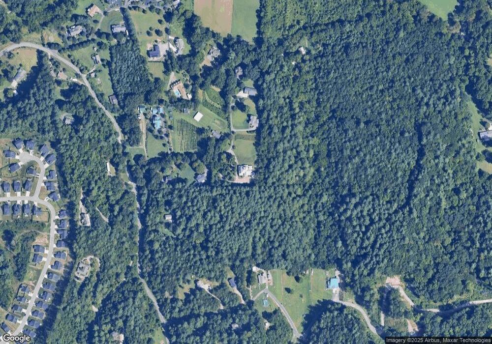
Map
Nearby Homes
- 29 Bonnie Brae Dr
- 315 Wild Ginger Ct
- 125 Parker Cove Rd
- 153 Water Leaf Dr
- 93 Old Stewart Rd
- 223 Water Leaf Dr
- 105 Water Leaf Dr
- 28 Pleasant Grove Rd
- 108 Sugg Trail
- 113 Sugg Trail
- 128 Sugg Trail
- 126 Sugg Trail
- 115 Sugg Trail
- 112 Sugg Trail
- 116 Sugg Trail
- 118 Sugg Trail
- 114 Sugg Trail
- Savannah Plan at Pleasant Grove
- Linville Plan at Pleasant Grove
- 117 Sugg Trail
- 29 Bonnie Brae Dr
- 29 Bonnie Brae Dr
- 19 Bonnie Brae Dr
- 20 Bonnie Brae Dr
- 37 Bonnie Brae Dr
- 15 Bonnie Brae Dr
- 45 Bonnie Brae Dr
- 98 Parker Cove Rd
- 51 Bonnie Brae Dr
- 34 Philly Run Dr
- 8 Bonnie Brae Dr
- 34 Philly Run
- 34 Philly Run Dr
- 28 Old Stewart Rd
- 22 Old Stewart Rd
- 99999 Parker Cove Rd
- 12 Old Stewart Rd
- 48 Bonnie Brae Dr
- 37 Brigman Rd
- 000 Philly Run Dr Unit 7