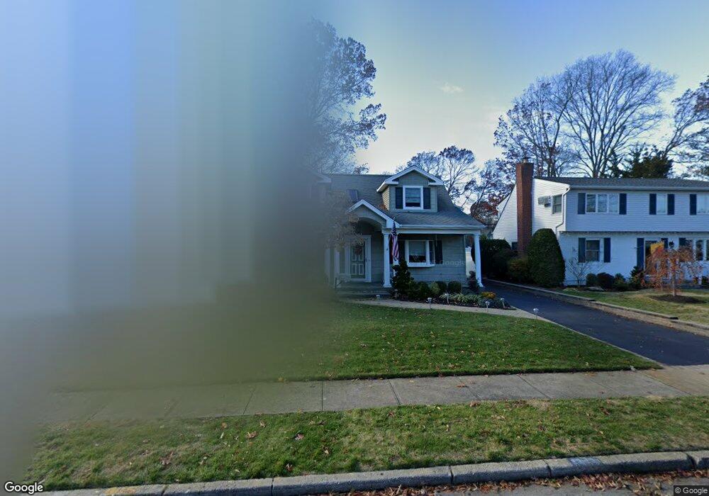
29 Briarcliff Dr Merrick, NY 11566
Estimated Value: $792,184 - $932,000
--
Bed
2
Baths
1,698
Sq Ft
$508/Sq Ft
Est. Value
About This Home
This home is located at 29 Briarcliff Dr, Merrick, NY 11566 and is currently estimated at $862,092, approximately $507 per square foot. 29 Briarcliff Dr is a home located in Nassau County with nearby schools including Burcham Elementary School, Merrick Avenue Middle School, and Waynoka High School.
Ownership History
Date
Name
Owned For
Owner Type
Purchase Details
Closed on
Sep 20, 2007
Sold by
Webber Eric
Bought by
Clyne Lawrence
Current Estimated Value
Purchase Details
Closed on
Jan 22, 2003
Sold by
Esopa Steven
Bought by
Webber Eric
Purchase Details
Closed on
Apr 20, 1995
Sold by
Concannon Raymond and Concannon Dorothy
Bought by
Esopa Steven and Maziarz Tracy
Home Financials for this Owner
Home Financials are based on the most recent Mortgage that was taken out on this home.
Original Mortgage
$169,200
Interest Rate
8.55%
Create a Home Valuation Report for This Property
The Home Valuation Report is an in-depth analysis detailing your home's value as well as a comparison with similar homes in the area
Home Values in the Area
Average Home Value in this Area
Purchase History
| Date | Buyer | Sale Price | Title Company |
|---|---|---|---|
| Clyne Lawrence | $585,000 | -- | |
| Webber Eric | $380,000 | -- | |
| Esopa Steven | $188,000 | -- |
Source: Public Records
Mortgage History
| Date | Status | Borrower | Loan Amount |
|---|---|---|---|
| Previous Owner | Esopa Steven | $169,200 |
Source: Public Records
Tax History Compared to Growth
Tax History
| Year | Tax Paid | Tax Assessment Tax Assessment Total Assessment is a certain percentage of the fair market value that is determined by local assessors to be the total taxable value of land and additions on the property. | Land | Improvement |
|---|---|---|---|---|
| 2025 | $12,973 | $482 | $176 | $306 |
| 2024 | $3,592 | $487 | $177 | $310 |
| 2023 | $12,388 | $535 | $195 | $340 |
| 2022 | $12,388 | $508 | $185 | $323 |
| 2021 | $14,954 | $508 | $186 | $322 |
| 2020 | $11,137 | $657 | $460 | $197 |
| 2019 | $10,828 | $657 | $412 | $245 |
| 2018 | $10,111 | $701 | $0 | $0 |
| 2017 | $6,761 | $733 | $444 | $289 |
| 2016 | $10,040 | $733 | $444 | $289 |
| 2015 | $3,139 | $760 | $460 | $300 |
| 2014 | $3,139 | $760 | $460 | $300 |
| 2013 | $2,932 | $760 | $460 | $300 |
Source: Public Records
Map
Nearby Homes
- 1531 Merrick Ave
- 37 Orchard St
- 2005 Abbot Ave
- 1580 Little Whaleneck Rd
- 1617 Richard Ave
- 1750 Henry Rd
- 1706 Old Mill Rd
- 101 Northridge Ave
- 1680 Lake Ave
- 12 Washington Dr
- 1650 Bridge St
- 2 Garfield St
- 2207 Van Nostrand Ave
- 843 Jerusalem Ave
- 1360 Powell Ave
- 1800 Remson Ave
- 2245 Van Nostrand Ave
- 526 Park Ave
- 1772 Rose St
- 214 Elmwood Ave
- 31 Briarcliff Dr
- 27 Briarcliff Dr
- 1880 Custom Village Dr
- 33 Briarcliff Dr
- 25 Briarcliff Dr
- 4 4 William St
- 1874 Custom Village Dr
- 28 Briarcliff Dr
- 35 Briarcliff Dr
- 30 Briarcliff Dr
- 2 William St
- 26 Briarcliff Dr
- 4 William St
- 4 William St
- 32 Briarcliff Dr
- 24 Briarcliff Dr
- 1881 Custom Village Dr
- 1432 Briarcliff Dr
- 16 William St
- 1435 Briarcliff Dr