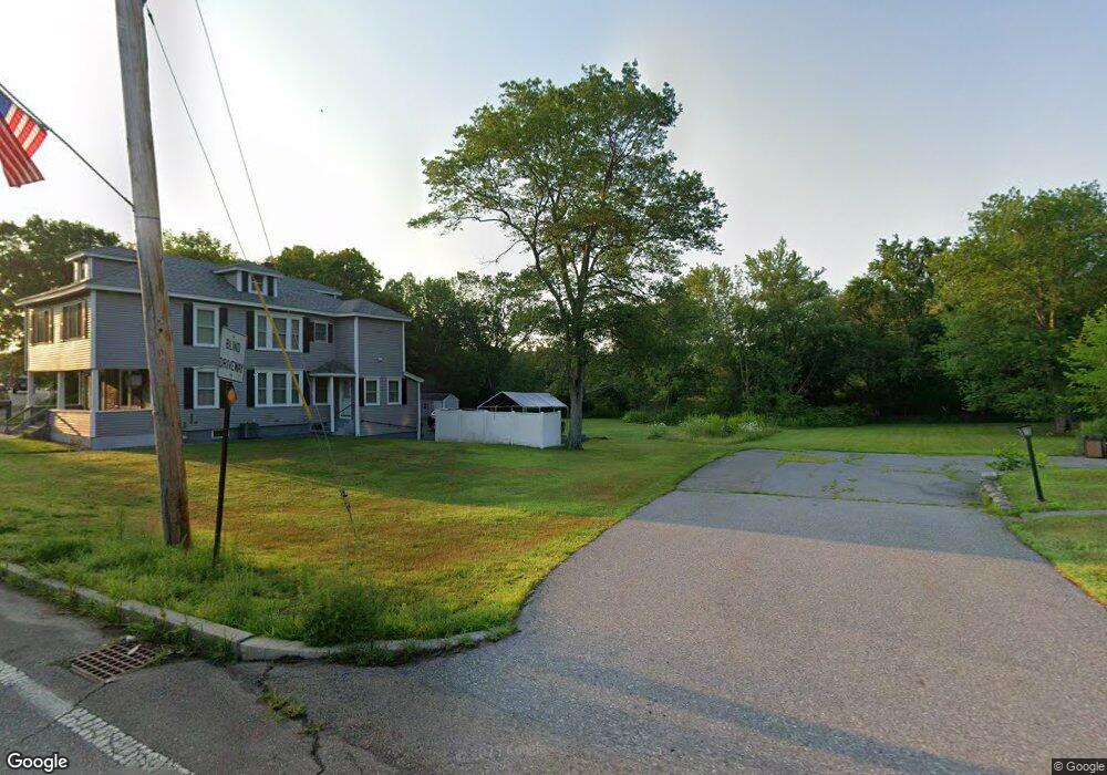
29 Brissett St Dracut, MA 01826
Estimated Value: $487,790 - $625,000
2
Beds
2
Baths
1,786
Sq Ft
$310/Sq Ft
Est. Value
About This Home
This home is located at 29 Brissett St, Dracut, MA 01826 and is currently estimated at $552,948, approximately $309 per square foot. 29 Brissett St is a home located in Middlesex County with nearby schools including George H. Englesby Elementary School, Richardson Middle School, and Dracut Senior High School.
Ownership History
Date
Name
Owned For
Owner Type
Purchase Details
Closed on
May 24, 2013
Sold by
White Margaret E and Bouchard Paul G
Bought by
White Margaret E
Current Estimated Value
Purchase Details
Closed on
Feb 22, 2006
Sold by
Flores Helen and Nickologianes Nicholas
Bought by
White Margaret E and Bouchard Paul G
Home Financials for this Owner
Home Financials are based on the most recent Mortgage that was taken out on this home.
Original Mortgage
$199,500
Interest Rate
6.17%
Mortgage Type
Purchase Money Mortgage
Create a Home Valuation Report for This Property
The Home Valuation Report is an in-depth analysis detailing your home's value as well as a comparison with similar homes in the area
Home Values in the Area
Average Home Value in this Area
Purchase History
| Date | Buyer | Sale Price | Title Company |
|---|---|---|---|
| White Margaret E | -- | -- | |
| White Margaret E | $210,000 | -- |
Source: Public Records
Mortgage History
| Date | Status | Borrower | Loan Amount |
|---|---|---|---|
| Previous Owner | White Margaret E | $199,500 |
Source: Public Records
Tax History Compared to Growth
Tax History
| Year | Tax Paid | Tax Assessment Tax Assessment Total Assessment is a certain percentage of the fair market value that is determined by local assessors to be the total taxable value of land and additions on the property. | Land | Improvement |
|---|---|---|---|---|
| 2025 | $3,904 | $385,800 | $215,800 | $170,000 |
| 2024 | $3,876 | $370,900 | $205,500 | $165,400 |
| 2023 | $3,715 | $320,800 | $178,600 | $142,200 |
| 2022 | $3,705 | $301,500 | $162,300 | $139,200 |
| 2021 | $3,573 | $274,600 | $147,500 | $127,100 |
| 2020 | $3,575 | $267,800 | $143,100 | $124,700 |
| 2019 | $6,385 | $243,200 | $136,300 | $106,900 |
| 2018 | $3,324 | $235,100 | $136,300 | $98,800 |
| 2017 | $3,210 | $235,100 | $136,300 | $98,800 |
| 2016 | $3,124 | $210,500 | $131,000 | $79,500 |
| 2015 | $3,034 | $203,200 | $131,000 | $72,200 |
| 2014 | $2,875 | $198,400 | $131,000 | $67,400 |
Source: Public Records
Map
Nearby Homes
- 45 Hoover St
- 101 Donohue Rd Unit 19
- 101 Donohue Rd Unit 3
- 94 Hampson St
- 382 University Ave
- 380 University Ave
- 25 Shea St Unit 8
- 15 Louis Farm Rd Unit 15
- 109 Navy Yard Rd
- 107 7th Ave
- 35 Honora Ave
- 14 Endicott St
- 199 University Ave
- 161 Flower Ln Unit 5
- 57 Lantern Ln Unit 3
- 146 Gershom Ave
- 61 7th Ave W
- 113 5th Ave
- 148 Flower Ln Unit 14
- 81 5th Ave
- 50 Brissett St
- 37 Brissett St
- 24 Brissett St
- 36 Brissett St
- 23 Old Meadow Rd
- 43 Brissett St
- 43 Brissette St
- 11 Brissett St
- 14 Brissett St
- 42-44 Brissett St Unit 1
- 42-44 Brissett St
- 42 Brissett St Unit 44
- 23 Homefield Ave
- 35 Homefield Ave
- 85 Old Meadow Rd
- 65 Old Meadow Rd
- 95 Old Meadow Rd
- 53 Brissett St
- 52 Brissett St
- 70 Donohue Rd