29 Brown Rd Bridger, MT 59014
Estimated Value: $587,376 - $819,000
3
Beds
2
Baths
2,088
Sq Ft
$330/Sq Ft
Est. Value
About This Home
This home is located at 29 Brown Rd, Bridger, MT 59014 and is currently estimated at $688,792, approximately $329 per square foot. 29 Brown Rd is a home with nearby schools including Bridger Elementary School, Bridger Junior High School, and Bridger High School.
Ownership History
Date
Name
Owned For
Owner Type
Purchase Details
Closed on
Jan 16, 2008
Bought by
Brown James L and Brown Lanette G
Current Estimated Value
Home Financials for this Owner
Home Financials are based on the most recent Mortgage that was taken out on this home.
Original Mortgage
$133,000
Outstanding Balance
$52,315
Interest Rate
5.96%
Mortgage Type
New Conventional
Estimated Equity
$636,477
Create a Home Valuation Report for This Property
The Home Valuation Report is an in-depth analysis detailing your home's value as well as a comparison with similar homes in the area
Purchase History
| Date | Buyer | Sale Price | Title Company |
|---|---|---|---|
| Brown James L | -- | -- |
Source: Public Records
Mortgage History
| Date | Status | Borrower | Loan Amount |
|---|---|---|---|
| Open | Brown James L | $133,000 | |
| Closed | Brown James L | $162,500 |
Source: Public Records
Tax History
| Year | Tax Paid | Tax Assessment Tax Assessment Total Assessment is a certain percentage of the fair market value that is determined by local assessors to be the total taxable value of land and additions on the property. | Land | Improvement |
|---|---|---|---|---|
| 2025 | $2,074 | $524,400 | $0 | $0 |
| 2024 | $2,676 | $435,400 | $0 | $0 |
| 2023 | $2,491 | $435,400 | $0 | $0 |
| 2022 | $2,119 | $338,500 | $0 | $0 |
| 2021 | $2,069 | $338,500 | $0 | $0 |
| 2020 | $2,132 | $347,500 | $0 | $0 |
| 2019 | $2,237 | $347,500 | $0 | $0 |
| 2018 | $1,715 | $262,000 | $0 | $0 |
| 2017 | $1,691 | $262,000 | $0 | $0 |
| 2016 | $1,654 | $262,700 | $0 | $0 |
| 2015 | $1,537 | $241,100 | $0 | $0 |
| 2014 | $1,479 | $133,659 | $0 | $0 |
Source: Public Records
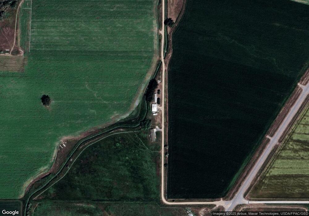
Map
Nearby Homes
- 12 Westara Ln
- 194 N Dry Creek Rd
- 306 N Silvertip Rd
- 331 N Silvertip Rd
- 157 Hergenrider Rd
- TBD Hergenrider Rd
- 201 W Fairlane Ave
- 1353 Selms Rd
- 0 Tbd Cottonwood Rd
- 517 Deadman Creek Rd Unit Bridger MT 59014
- 209 S 2nd St
- 15 Rimrock Dr
- 601 W Park Ave
- 213 S D St
- 0 W Park (Lot 10) Ave Unit 347713
- 515 E Broadway Ave
- 115 N E St
- W Teesdale Ln
- 18 Vaill Ave
- 947-7
Your Personal Tour Guide
Ask me questions while you tour the home.