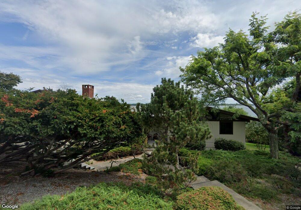
29 Browning Dr Narragansett, RI 02882
Estimated Value: $1,696,000 - $2,794,454
4
Beds
4
Baths
2,283
Sq Ft
$983/Sq Ft
Est. Value
About This Home
This home is located at 29 Browning Dr, Narragansett, RI 02882 and is currently estimated at $2,245,227, approximately $983 per square foot. 29 Browning Dr is a home located in Washington County with nearby schools including Narragansett Elementary School, Narragansett Pier Middle School, and Narragansett High School.
Ownership History
Date
Name
Owned For
Owner Type
Purchase Details
Closed on
Nov 23, 2018
Sold by
Adele P Curhan T
Bought by
Curhan Ft
Current Estimated Value
Purchase Details
Closed on
Mar 18, 2016
Sold by
Curhan Adele P
Bought by
Curhan Adele P
Purchase Details
Closed on
Oct 13, 2015
Sold by
Curhan Adele P
Bought by
Curhan Robet P and Curhan Adele P
Create a Home Valuation Report for This Property
The Home Valuation Report is an in-depth analysis detailing your home's value as well as a comparison with similar homes in the area
Home Values in the Area
Average Home Value in this Area
Purchase History
| Date | Buyer | Sale Price | Title Company |
|---|---|---|---|
| Curhan Ft | -- | -- | |
| Curhan Adele P | -- | -- | |
| Curhan Robet P | -- | -- |
Source: Public Records
Tax History Compared to Growth
Tax History
| Year | Tax Paid | Tax Assessment Tax Assessment Total Assessment is a certain percentage of the fair market value that is determined by local assessors to be the total taxable value of land and additions on the property. | Land | Improvement |
|---|---|---|---|---|
| 2025 | $23,549 | $3,468,200 | $2,893,000 | $575,200 |
| 2024 | $22,717 | $3,468,200 | $2,893,000 | $575,200 |
| 2023 | $23,110 | $2,482,300 | $2,087,900 | $394,400 |
| 2022 | $22,341 | $2,482,300 | $2,087,900 | $394,400 |
| 2021 | $21,993 | $2,482,300 | $2,087,900 | $394,400 |
| 2020 | $21,789 | $2,079,100 | $1,741,400 | $337,700 |
| 2019 | $21,269 | $2,079,100 | $1,741,400 | $337,700 |
| 2018 | $20,687 | $2,079,100 | $1,741,400 | $337,700 |
| 2017 | $19,653 | $1,861,100 | $1,601,300 | $259,800 |
| 2016 | $18,760 | $1,861,100 | $1,601,300 | $259,800 |
| 2015 | $18,499 | $1,861,100 | $1,601,300 | $259,800 |
| 2014 | $16,993 | $1,692,500 | $1,416,500 | $276,000 |
Source: Public Records
Map
Nearby Homes
- 727 Boston Neck Rd
- 175 Bonnet Point Rd Unit K13
- 0 Betty Dr
- 7 Leatherleaf Rd
- 11 Tupelo Trail
- 74 Bayberry Rd
- 135 Cliff Dr
- 91 Bonnet Point Rd
- 264 Colonel John Gardner Rd
- 47 Wayland Trail
- 0 S River Dr
- 80 Old Pine Rd
- 121 Spice Bush Trail
- 46 S River Dr
- 51 Bonnet Shores Rd
- 53 Bonnet Shores Rd
- 55 Bonnet Shores Rd
- 51 Osceola Ave
- 193 Bonnet Shores Rd
- 18 Anawan Ave
- 25 Browning Dr
- 16 Browning Dr
- 20 Browning Dr
- 775 Boston Neck Rd
- 21 Browning Dr
- 10 Browning Dr
- 17 Browning Dr
- 799 Boston Neck Rd
- 739 Boston Neck Rd
- 763 Boston Neck Rd
- 13 Browning Dr
- 2 Browning Dr
- 9 Browning Dr
- 785 Boston Neck Rd
- 737 Boston Neck Rd
- 801 Boston Neck Rd
- 803 Boston Neck Rd
- 766 Boston Neck Rd
- 770 Boston Neck Rd
- 760 Boston Neck Rd