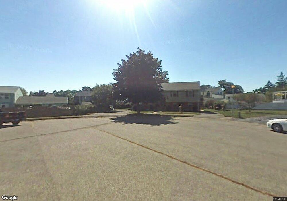
29 Carr Rd Saugus, MA 01906
Cliftondale NeighborhoodEstimated Value: $748,000 - $915,000
4
Beds
3
Baths
2,200
Sq Ft
$378/Sq Ft
Est. Value
About This Home
This home is located at 29 Carr Rd, Saugus, MA 01906 and is currently estimated at $831,500, approximately $377 per square foot. 29 Carr Rd is a home located in Essex County with nearby schools including Saugus High School and Sacred Heart School.
Create a Home Valuation Report for This Property
The Home Valuation Report is an in-depth analysis detailing your home's value as well as a comparison with similar homes in the area
Home Values in the Area
Average Home Value in this Area
Tax History
| Year | Tax Paid | Tax Assessment Tax Assessment Total Assessment is a certain percentage of the fair market value that is determined by local assessors to be the total taxable value of land and additions on the property. | Land | Improvement |
|---|---|---|---|---|
| 2025 | $7,808 | $731,100 | $358,400 | $372,700 |
| 2024 | $7,534 | $707,400 | $344,700 | $362,700 |
| 2023 | $7,258 | $644,600 | $313,000 | $331,600 |
| 2022 | $7,003 | $583,100 | $284,900 | $298,200 |
| 2021 | $6,736 | $545,900 | $247,700 | $298,200 |
| 2020 | $6,362 | $533,700 | $247,700 | $286,000 |
| 2019 | $6,187 | $508,000 | $235,900 | $272,100 |
| 2018 | $5,630 | $486,200 | $224,100 | $262,100 |
| 2017 | $5,445 | $451,900 | $213,200 | $238,700 |
| 2016 | $5,236 | $429,200 | $204,300 | $224,900 |
| 2015 | $4,913 | $408,700 | $194,500 | $214,200 |
| 2014 | $4,520 | $389,300 | $194,500 | $194,800 |
Source: Public Records
Map
Nearby Homes
- 25 Piedmont Ave
- 0 Hampton St
- 28 Naples Ave
- 44 Ballard St
- 9 Spencer Ave
- 6 Saugus Ave Unit A
- 4 Foss Ave
- 21 Fenton Ave
- 11 Margin St Unit 7
- 187 Hamilton St
- 16 River St Unit 6
- 31 Mountain Ave
- 79 Laurel St
- 24 Hathaway St
- 123 Mills Ave
- 6 Morris St
- 191 N Shore Rd
- 31 Mills Ave
- 2 Ashford St
- 45 Cottage St Unit 3
Your Personal Tour Guide
Ask me questions while you tour the home.