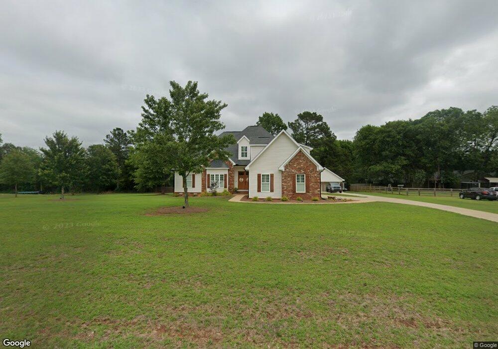
29 Carters Way Forsyth, GA 31029
Estimated Value: $375,000 - $436,000
4
Beds
3
Baths
2,287
Sq Ft
$177/Sq Ft
Est. Value
About This Home
This home is located at 29 Carters Way, Forsyth, GA 31029 and is currently estimated at $404,693, approximately $176 per square foot. 29 Carters Way is a home located in Monroe County with nearby schools including T.G. Scott Elementary School, Mary Persons High School, and Monroe Academy.
Ownership History
Date
Name
Owned For
Owner Type
Purchase Details
Closed on
Jun 26, 2020
Sold by
Toole Betty C
Bought by
Tarver Ashley B and Tarver Matthew C
Current Estimated Value
Home Financials for this Owner
Home Financials are based on the most recent Mortgage that was taken out on this home.
Original Mortgage
$245,471
Outstanding Balance
$215,716
Interest Rate
3.1%
Mortgage Type
FHA
Estimated Equity
$188,977
Purchase Details
Closed on
Jul 1, 2010
Sold by
Bob St John Construction L
Bought by
Toole A Royce
Purchase Details
Closed on
Nov 20, 2009
Sold by
Mike L Moon Enterprises Llc
Bought by
Bob St John Construction Llc
Home Financials for this Owner
Home Financials are based on the most recent Mortgage that was taken out on this home.
Original Mortgage
$187,298
Interest Rate
4.98%
Mortgage Type
Construction
Purchase Details
Closed on
Oct 19, 2006
Sold by
Campbell Const & Dev Co Llc
Bought by
Mike L Moon Enterprises Llc
Create a Home Valuation Report for This Property
The Home Valuation Report is an in-depth analysis detailing your home's value as well as a comparison with similar homes in the area
Purchase History
| Date | Buyer | Sale Price | Title Company |
|---|---|---|---|
| Tarver Ashley B | $250,000 | -- | |
| Toole A Royce | $220,000 | -- | |
| Toole A Royce | $220,000 | -- | |
| Bob St John Construction Llc | $35,000 | -- | |
| Mike L Moon Enterprises Llc | -- | -- |
Source: Public Records
Mortgage History
| Date | Status | Borrower | Loan Amount |
|---|---|---|---|
| Open | Tarver Ashley B | $245,471 | |
| Previous Owner | Bob St John Construction Llc | $187,298 |
Source: Public Records
Tax History
| Year | Tax Paid | Tax Assessment Tax Assessment Total Assessment is a certain percentage of the fair market value that is determined by local assessors to be the total taxable value of land and additions on the property. | Land | Improvement |
|---|---|---|---|---|
| 2025 | $3,647 | $141,560 | $17,280 | $124,280 |
| 2024 | $3,647 | $137,960 | $17,280 | $120,680 |
| 2023 | $3,403 | $118,680 | $17,280 | $101,400 |
| 2022 | $2,888 | $118,680 | $17,280 | $101,400 |
| 2021 | $2,466 | $118,680 | $17,280 | $101,400 |
| 2020 | $2,612 | $102,920 | $17,280 | $85,640 |
| 2019 | $2,324 | $92,240 | $15,120 | $77,120 |
| 2018 | $2,331 | $92,240 | $15,120 | $77,120 |
| 2017 | $2,681 | $92,240 | $15,120 | $77,120 |
| 2016 | $2,217 | $92,240 | $15,120 | $77,120 |
| 2015 | $2,103 | $92,240 | $15,120 | $77,120 |
| 2014 | $2,029 | $92,240 | $15,120 | $77,120 |
Source: Public Records
Map
Nearby Homes
- 153 Jackson Dr
- 1550 Charlie Benson Rd
- 0 Old Rumble Rd
- 131 Hawthorne Ln
- 125 Hawthorne Ln
- 155 Hawthorne Ln
- 311 Clover Pass
- 443 Old Rumble Rd
- 443 Old Rumble Rd Unit 2
- 100 Gardens
- 0 Boxankle Unit 10706468
- 104 Gardens
- 477 Old Rumble Rd Unit 4
- 477 Old Rumble Rd
- 243 Copper Crossing
- 0 Benson Ham Rd Unit OUTPARCEL 1 10551782
- 0 Benson Ham Rd Unit OUTPARCEL 2 10558340
- 34 Kyndall Ln
- 98 Adam Dr
- 88 Adam Dr
Your Personal Tour Guide
Ask me questions while you tour the home.