29 Cedar Barn Rd Andrews, NC 28901
Estimated Value: $332,545 - $386,000
4
Beds
3
Baths
2,265
Sq Ft
$160/Sq Ft
Est. Value
About This Home
This home is located at 29 Cedar Barn Rd, Andrews, NC 28901 and is currently estimated at $361,886, approximately $159 per square foot. 29 Cedar Barn Rd is a home located in Cherokee County with nearby schools including Andrews Elementary School, Andrews Middle School, and Andrews High School.
Ownership History
Date
Name
Owned For
Owner Type
Purchase Details
Closed on
Oct 31, 2024
Sold by
Brickey Phillip
Bought by
Clark Michael Adam and Clark Adriana Maria
Current Estimated Value
Home Financials for this Owner
Home Financials are based on the most recent Mortgage that was taken out on this home.
Original Mortgage
$335,000
Outstanding Balance
$331,322
Interest Rate
6.12%
Mortgage Type
VA
Estimated Equity
$30,564
Purchase Details
Closed on
Dec 1, 2003
Bought by
Brickey Phillip
Create a Home Valuation Report for This Property
The Home Valuation Report is an in-depth analysis detailing your home's value as well as a comparison with similar homes in the area
Home Values in the Area
Average Home Value in this Area
Purchase History
| Date | Buyer | Sale Price | Title Company |
|---|---|---|---|
| Clark Michael Adam | $335,000 | None Listed On Document | |
| Clark Michael Adam | $335,000 | None Listed On Document | |
| Brickey Phillip | $88,000 | -- |
Source: Public Records
Mortgage History
| Date | Status | Borrower | Loan Amount |
|---|---|---|---|
| Open | Clark Michael Adam | $335,000 | |
| Closed | Clark Michael Adam | $335,000 |
Source: Public Records
Tax History
| Year | Tax Paid | Tax Assessment Tax Assessment Total Assessment is a certain percentage of the fair market value that is determined by local assessors to be the total taxable value of land and additions on the property. | Land | Improvement |
|---|---|---|---|---|
| 2025 | $1,272 | $168,910 | $0 | $0 |
| 2024 | $7 | $168,910 | $0 | $0 |
| 2023 | $660 | $168,910 | $0 | $0 |
| 2022 | $660 | $168,910 | $0 | $0 |
| 2021 | $563 | $168,910 | $7,490 | $161,420 |
| 2020 | $527 | $168,910 | $0 | $0 |
| 2019 | $1,051 | $168,170 | $0 | $0 |
| 2018 | $1,049 | $168,170 | $0 | $0 |
| 2017 | $1,049 | $168,170 | $0 | $0 |
| 2016 | $1,049 | $168,170 | $0 | $0 |
| 2015 | $1,049 | $168,170 | $18,710 | $149,460 |
| 2012 | -- | $168,170 | $18,710 | $149,460 |
Source: Public Records
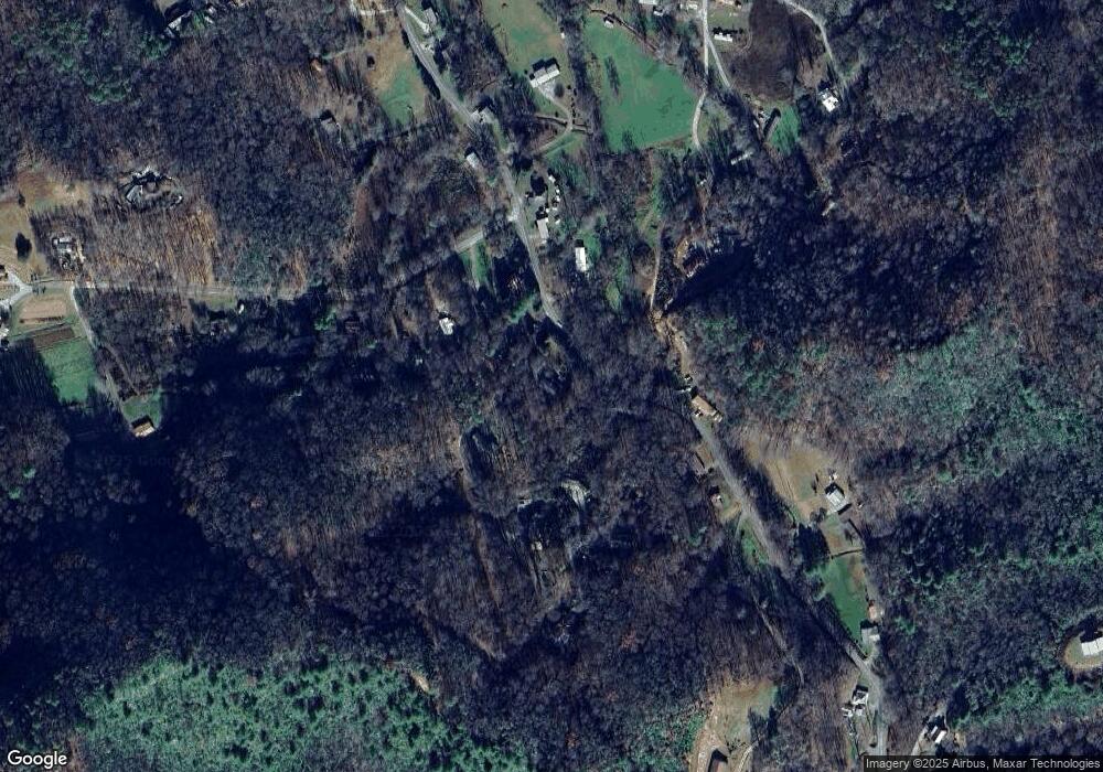
Map
Nearby Homes
- 230 Pisgah Rd Unit 430
- 300 Tatham St
- LT 7 Valley View Heights Ln
- 00 River Dance Dr
- 96 Connaheta Ave
- TBD Colvard Ave
- 1834 Bristol Ave
- 61 Fairview Rd
- 00 Airport Rd
- 6765 Airport Rd
- 00 Main & Whitaker
- 000 Chestnut St
- 248 Hillside Ln
- 270 Cover Ave
- 135.49ac Webb Creek Rd
- 7.69ac Webb Creek Rd
- 196 Johnson Ridge
- 4.27 Upper Valley Ln
- 93 Oak St
- 45 Caboose Creek Ln
- 18 Cedar Barn Rd
- 000 Cedar Barn Rd
- 00 Cedar Barn Rd
- 322 Pisgah Rd
- 0 Cedar Barn Rd Unit 412926
- 0 Cedar Barn Rd Unit 276694
- 0 Cedar Barn Rd Unit 128594
- 0 Cedar Barn Rd Unit 114568
- 79 Cedar Barn Rd
- 205 Cedar Barn Rd
- 45 Cope Rd
- 145 Cedar Barn Rd
- 145 Cedar Barn Rd
- 75 Cope Rd
- 202 Cedar Barn Rd
- 202 Cedar Barn Rd Unit 4
- 81 Cope Rd
- 85 Cope Rd
- 115 Cope Rd
- 141 Pisgah Rd