29 Cedar St Unit 29 Cohasset, MA 02025
Estimated Value: $1,953,000 - $2,185,277
5
Beds
6
Baths
4,766
Sq Ft
$432/Sq Ft
Est. Value
About This Home
This home is located at 29 Cedar St Unit 29, Cohasset, MA 02025 and is currently estimated at $2,058,819, approximately $431 per square foot. 29 Cedar St Unit 29 is a home located in Norfolk County with nearby schools including Joseph Osgood School, Deer Hill School, and Cohasset Middle School.
Ownership History
Date
Name
Owned For
Owner Type
Purchase Details
Closed on
Mar 31, 2021
Sold by
Drinan David H and Drinan Helen G
Bought by
Prendergast Carrie L and Prendergast William R
Current Estimated Value
Home Financials for this Owner
Home Financials are based on the most recent Mortgage that was taken out on this home.
Original Mortgage
$1,200,000
Outstanding Balance
$1,079,940
Interest Rate
2.8%
Mortgage Type
Purchase Money Mortgage
Estimated Equity
$978,879
Purchase Details
Closed on
Mar 26, 2021
Sold by
Blackthorn Group Llc
Bought by
Drinan David H and Drinan Helen G
Home Financials for this Owner
Home Financials are based on the most recent Mortgage that was taken out on this home.
Original Mortgage
$1,200,000
Outstanding Balance
$1,079,940
Interest Rate
2.8%
Mortgage Type
Purchase Money Mortgage
Estimated Equity
$978,879
Purchase Details
Closed on
Apr 28, 2016
Sold by
Drinan David H and Drinan Helen G
Bought by
Mcfetridge Andrew J and Mcfetridge Deanna L
Purchase Details
Closed on
Nov 30, 2012
Sold by
Dravis Anne F
Bought by
Anne F Dravis Ret
Purchase Details
Closed on
Jun 16, 2004
Sold by
Chilton Dev Co
Bought by
Drinan David H and Drinan Helen G
Home Financials for this Owner
Home Financials are based on the most recent Mortgage that was taken out on this home.
Original Mortgage
$1,100,000
Interest Rate
6.12%
Mortgage Type
Purchase Money Mortgage
Create a Home Valuation Report for This Property
The Home Valuation Report is an in-depth analysis detailing your home's value as well as a comparison with similar homes in the area
Home Values in the Area
Average Home Value in this Area
Purchase History
| Date | Buyer | Sale Price | Title Company |
|---|---|---|---|
| Prendergast Carrie L | $1,649,000 | None Available | |
| Drinan David H | -- | None Available | |
| Mcfetridge Andrew J | -- | -- | |
| Anne F Dravis Ret | -- | -- | |
| Drinan David H | $1,525,000 | -- |
Source: Public Records
Mortgage History
| Date | Status | Borrower | Loan Amount |
|---|---|---|---|
| Open | Prendergast Carrie L | $1,200,000 | |
| Previous Owner | Drinan David H | $1,100,000 |
Source: Public Records
Tax History Compared to Growth
Tax History
| Year | Tax Paid | Tax Assessment Tax Assessment Total Assessment is a certain percentage of the fair market value that is determined by local assessors to be the total taxable value of land and additions on the property. | Land | Improvement |
|---|---|---|---|---|
| 2025 | $18,887 | $1,631,000 | $520,200 | $1,110,800 |
| 2024 | $18,809 | $1,545,500 | $416,100 | $1,129,400 |
| 2023 | $18,237 | $1,545,500 | $416,100 | $1,129,400 |
| 2022 | $16,943 | $1,349,000 | $368,900 | $980,100 |
| 2021 | $17,029 | $1,305,900 | $368,900 | $937,000 |
| 2020 | $16,938 | $1,305,900 | $368,900 | $937,000 |
| 2019 | $16,846 | $1,305,900 | $368,900 | $937,000 |
| 2018 | $22,383 | $1,750,000 | $813,000 | $937,000 |
| 2017 | $21,992 | $1,683,900 | $759,300 | $924,600 |
| 2016 | $21,689 | $1,683,900 | $759,300 | $924,600 |
| 2015 | $21,402 | $1,683,900 | $759,300 | $924,600 |
| 2014 | $20,553 | $1,639,000 | $714,400 | $924,600 |
Source: Public Records
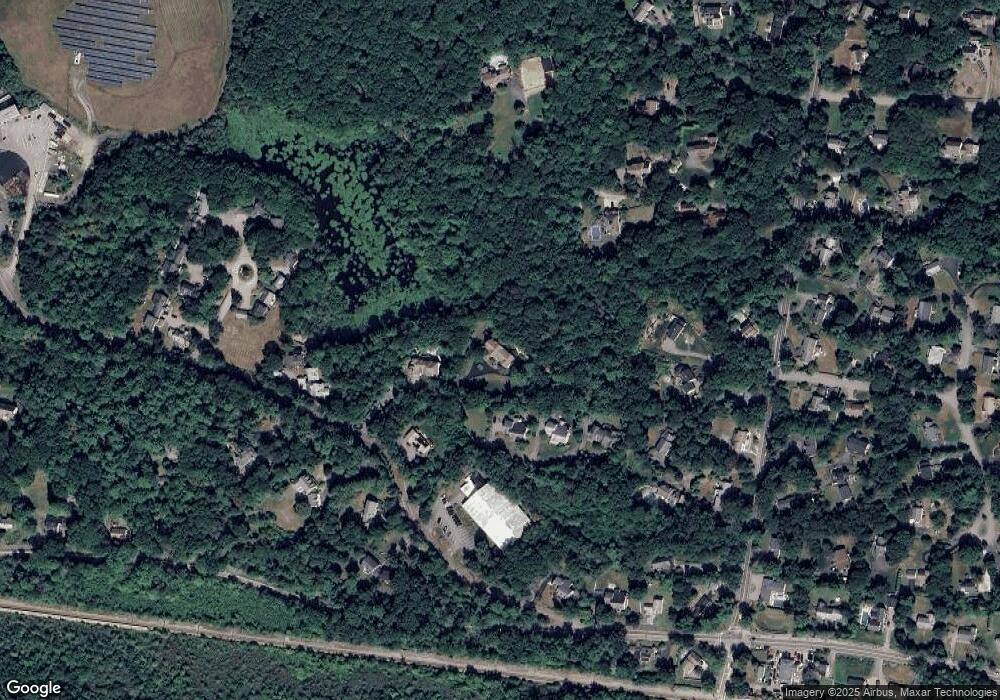
Map
Nearby Homes
- 512 N Main St
- 506 N Main St
- 29 Heather Dr
- 296 N Main St
- 152 Forest Ave
- 137 Fairoaks Ln
- 247 Forest Ave
- 31 Chittenden Ln Unit 31
- 45 Ocean Ledge Dr
- 114 Hull St
- 146 N Main St Unit 146
- 166 Hull St
- 25 Ripley Rd
- 10 Ocean Ledge Dr
- 78 Old Pasture Rd
- 6 Grace Dr
- 119 Pleasant St
- 321 Rockland St
- 577 Jerusalem Rd
- 89 Ripley Rd