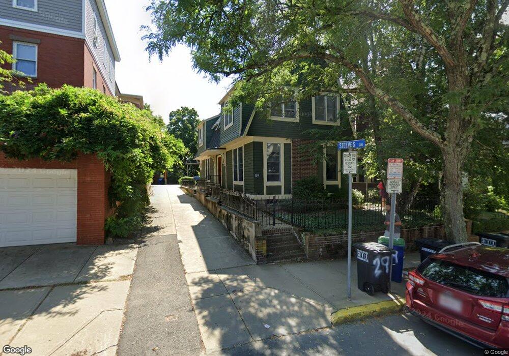
29 Cherry St Somerville, MA 02144
Porter Square NeighborhoodEstimated Value: $1,408,000 - $1,581,000
4
Beds
4
Baths
1,906
Sq Ft
$795/Sq Ft
Est. Value
About This Home
This home is located at 29 Cherry St, Somerville, MA 02144 and is currently estimated at $1,515,561, approximately $795 per square foot. 29 Cherry St is a home located in Middlesex County with nearby schools including Somerville High School, Saint Theresa School, and St. Clement Elementary School.
Ownership History
Date
Name
Owned For
Owner Type
Purchase Details
Closed on
Dec 27, 1991
Sold by
Squillacioti Rocco and Squillacioti Rosa
Bought by
Levinson Nan S and Lebowitz Alan L
Current Estimated Value
Home Financials for this Owner
Home Financials are based on the most recent Mortgage that was taken out on this home.
Original Mortgage
$255,150
Interest Rate
8.62%
Mortgage Type
Purchase Money Mortgage
Create a Home Valuation Report for This Property
The Home Valuation Report is an in-depth analysis detailing your home's value as well as a comparison with similar homes in the area
Home Values in the Area
Average Home Value in this Area
Purchase History
| Date | Buyer | Sale Price | Title Company |
|---|---|---|---|
| Levinson Nan S | $283,500 | -- |
Source: Public Records
Mortgage History
| Date | Status | Borrower | Loan Amount |
|---|---|---|---|
| Open | Levinson Nan S | $229,677 | |
| Closed | Levinson Nan S | $247,500 | |
| Closed | Levinson Nan S | $255,150 | |
| Previous Owner | Levinson Nan S | $180,000 |
Source: Public Records
Tax History
| Year | Tax Paid | Tax Assessment Tax Assessment Total Assessment is a certain percentage of the fair market value that is determined by local assessors to be the total taxable value of land and additions on the property. | Land | Improvement |
|---|---|---|---|---|
| 2025 | $16,070 | $1,473,000 | $717,500 | $755,500 |
| 2024 | $15,053 | $1,430,900 | $717,500 | $713,400 |
| 2023 | $14,285 | $1,381,500 | $717,500 | $664,000 |
| 2022 | $12,900 | $1,267,200 | $683,300 | $583,900 |
| 2021 | $12,124 | $1,189,800 | $650,800 | $539,000 |
| 2020 | $10,964 | $1,086,600 | $584,000 | $502,600 |
| 2019 | $11,170 | $1,038,100 | $544,100 | $494,000 |
| 2018 | $10,730 | $948,700 | $494,700 | $454,000 |
| 2017 | $10,097 | $865,200 | $466,600 | $398,600 |
| 2016 | $8,916 | $711,600 | $355,700 | $355,900 |
Source: Public Records
Map
Nearby Homes
- 49 Cherry St Unit 1
- 83 Cedar St Unit 1
- 315 Highland Ave Unit 101
- 79 Willow Ave
- 32-40 White St
- 82 Willow Ave Unit 1
- 355 Highland Ave Unit 1
- 20 Mossland St
- 10 Beech St Unit 4
- 10 Beech St Unit 1
- 10 Beech St Unit 3
- 353 Summer St Unit 310
- 156 Albion St Unit 1
- 167 Albion St
- 13 Alpine St Unit 202
- 7 Beech St Unit 319
- 7 Beech St Unit 317
- 371 Highland Ave
- 13 Warwick St
- 16 Rogers Ave
- 27 Cherry St
- 31 Cherry St
- 9 Steeves Cir
- 8 Steeves Cir Unit 1
- 8 Steeves Cir
- 10 Steeves Cir Unit 2
- 8 Steeves Cir Unit 2
- 25 Cherry St Unit 25A
- 25 Cherry St
- 33 Cherry St
- 23 Cherry St
- 30 Cherry St
- 30 Cherry St Unit 2
- 30 Cherry St
- 30 Cherry St Unit 3
- 28 A Cherry St Unit 1
- 28 A Cherry St Unit 2
- 11 Ashland St
- 11 Ashland St Unit 2
- 26 Cherry St
Your Personal Tour Guide
Ask me questions while you tour the home.