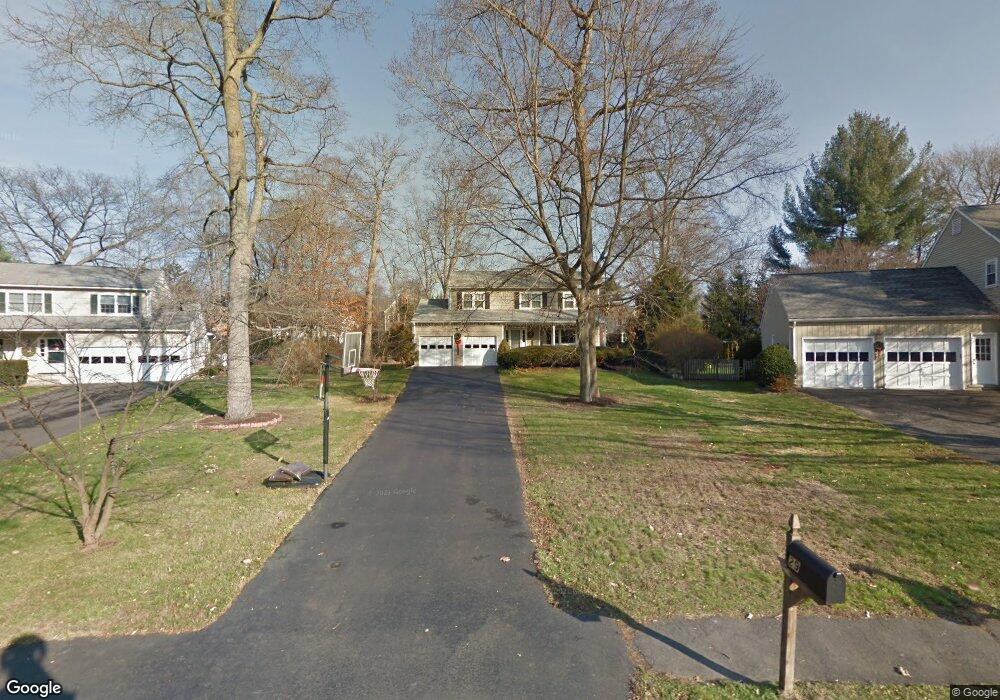
29 Coachlamp Ln Darien, CT 06820
Estimated Value: $1,315,000 - $2,091,000
4
Beds
2
Baths
2,332
Sq Ft
$783/Sq Ft
Est. Value
About This Home
This home is located at 29 Coachlamp Ln, Darien, CT 06820 and is currently estimated at $1,826,186, approximately $783 per square foot. 29 Coachlamp Ln is a home located in Fairfield County with nearby schools including Hindley Elementary School, Middlesex Middle School, and Darien High School.
Ownership History
Date
Name
Owned For
Owner Type
Purchase Details
Closed on
Oct 1, 2012
Sold by
Galbo Loreto and Muscarella Francesca
Bought by
Piatek Zoya and Piatek John
Current Estimated Value
Purchase Details
Closed on
Jun 28, 2004
Sold by
Smith Peter F and Smith Ryoko T
Bought by
Yamasuchi Takeshi and Yamasuchi Yukiko
Home Financials for this Owner
Home Financials are based on the most recent Mortgage that was taken out on this home.
Original Mortgage
$260,000
Interest Rate
5%
Create a Home Valuation Report for This Property
The Home Valuation Report is an in-depth analysis detailing your home's value as well as a comparison with similar homes in the area
Home Values in the Area
Average Home Value in this Area
Purchase History
| Date | Buyer | Sale Price | Title Company |
|---|---|---|---|
| Piatek Zoya | $555,000 | -- | |
| Yamasuchi Takeshi | $760,000 | -- |
Source: Public Records
Mortgage History
| Date | Status | Borrower | Loan Amount |
|---|---|---|---|
| Previous Owner | Yamasuchi Takeshi | $100,000 | |
| Previous Owner | Yamasuchi Takeshi | $260,000 |
Source: Public Records
Tax History Compared to Growth
Tax History
| Year | Tax Paid | Tax Assessment Tax Assessment Total Assessment is a certain percentage of the fair market value that is determined by local assessors to be the total taxable value of land and additions on the property. | Land | Improvement |
|---|---|---|---|---|
| 2025 | $15,572 | $1,005,970 | $653,240 | $352,730 |
| 2024 | $14,778 | $1,005,970 | $653,240 | $352,730 |
| 2023 | $13,345 | $757,820 | $466,620 | $291,200 |
| 2022 | $13,057 | $757,820 | $466,620 | $291,200 |
| 2021 | $12,762 | $757,820 | $466,620 | $291,200 |
| 2020 | $12,398 | $757,820 | $466,620 | $291,200 |
| 2019 | $12,481 | $757,820 | $466,620 | $291,200 |
| 2018 | $13,819 | $859,390 | $523,810 | $335,580 |
| 2017 | $13,888 | $859,390 | $523,810 | $335,580 |
| 2016 | $13,553 | $859,390 | $523,810 | $335,580 |
| 2015 | $13,192 | $859,390 | $523,810 | $335,580 |
| 2014 | $12,899 | $859,390 | $523,810 | $335,580 |
Source: Public Records
Map
Nearby Homes
- 53 Noroton Ave
- 77 Maple St
- 47 Hollow Tree Ridge Rd
- 166 Hollow Tree Ridge Rd
- 19 Anthony Ln
- 45 Hecker Ave
- 333 West Ave Unit 3
- 19 William St
- 16 Houston Terrace Unit 7
- 105 Houston Terrace
- 120 Webb Ave
- 92 Pear Tree Point Rd
- 88 Pear Tree Point Rd
- 5 Shipway Rd
- 90 Courtland Hill St
- 28 Aquila Rd
- 16 Neponsit St
- 203 Sylvan Knoll Rd
- 171 Sylvan Knoll Rd
- 214 Seaside Ave