29 Concord St Scituate, MA 02066
Humarock NeighborhoodEstimated Value: $740,638 - $877,000
3
Beds
1
Bath
1,056
Sq Ft
$757/Sq Ft
Est. Value
About This Home
This home is located at 29 Concord St, Scituate, MA 02066 and is currently estimated at $799,660, approximately $757 per square foot. 29 Concord St is a home with nearby schools including Jenkins Elementary School, Lester J. Gates Middle School, and Scituate High School.
Ownership History
Date
Name
Owned For
Owner Type
Purchase Details
Closed on
Nov 2, 2022
Sold by
Travers Paul F and Travers Richard J
Bought by
5Ts Llc
Current Estimated Value
Purchase Details
Closed on
Sep 30, 2022
Sold by
Florence E Travers T E and Florence Travers
Bought by
Travers Paul F and Travers Richard J
Purchase Details
Closed on
Jul 15, 2010
Sold by
Travers Richard J
Bought by
Florence E Travers T E and Florence Travers
Purchase Details
Closed on
Jan 1, 1963
Bought by
Travers Richard J and Travers Florence E
Create a Home Valuation Report for This Property
The Home Valuation Report is an in-depth analysis detailing your home's value as well as a comparison with similar homes in the area
Home Values in the Area
Average Home Value in this Area
Purchase History
| Date | Buyer | Sale Price | Title Company |
|---|---|---|---|
| 5Ts Llc | -- | None Available | |
| Travers Paul F | -- | None Available | |
| Florence E Travers T E | -- | -- | |
| Travers Richard J | -- | -- |
Source: Public Records
Tax History Compared to Growth
Tax History
| Year | Tax Paid | Tax Assessment Tax Assessment Total Assessment is a certain percentage of the fair market value that is determined by local assessors to be the total taxable value of land and additions on the property. | Land | Improvement |
|---|---|---|---|---|
| 2025 | $6,802 | $680,900 | $528,500 | $152,400 |
| 2024 | $6,157 | $594,300 | $444,900 | $149,400 |
| 2023 | $5,714 | $537,400 | $404,500 | $132,900 |
| 2022 | $5,714 | $452,800 | $335,300 | $117,500 |
| 2021 | $5,099 | $382,500 | $319,400 | $63,100 |
| 2020 | $5,157 | $382,000 | $319,300 | $62,700 |
| 2019 | $5,148 | $374,700 | $313,100 | $61,600 |
| 2018 | $4,387 | $314,500 | $255,500 | $59,000 |
| 2017 | $4,288 | $304,300 | $245,300 | $59,000 |
| 2016 | $4,159 | $294,100 | $235,100 | $59,000 |
| 2015 | $3,718 | $283,800 | $224,800 | $59,000 |
Source: Public Records
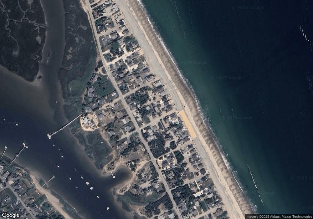
Map
Nearby Homes
- 140 Humarock Beach
- 8 Dodge Rd
- 27 Concord St
- 139 Humarock Beach
- 35 Concord St
- 141 Humarock Beach
- 30 Concord St
- 34 & 36 Concord St
- 34 Concord St
- 30 Concord St
- 142 Humarock Beach
- 36 Concord St
- 28 Concord St
- 21 Concord St
- 30 Newell St
- 82 Central Ave
- 26 Concord St
- 36 Newell St
- 16 Krainwood Dr
- 33 Newell St