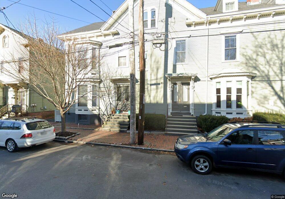
29 Cushman St Unit 1 Portland, ME 04102
West End NeighborhoodEstimated Value: $393,202 - $408,000
1
Bed
1
Bath
945
Sq Ft
$424/Sq Ft
Est. Value
About This Home
This home is located at 29 Cushman St Unit 1, Portland, ME 04102 and is currently estimated at $401,051, approximately $424 per square foot. 29 Cushman St Unit 1 is a home located in Cumberland County with nearby schools including Howard C. Reiche Community School, King Middle School, and Baxter Academy for Tech & Sciences.
Ownership History
Date
Name
Owned For
Owner Type
Purchase Details
Closed on
Jun 4, 2019
Sold by
Lord Holly L
Bought by
Faure Laura D
Current Estimated Value
Purchase Details
Closed on
Mar 12, 2007
Sold by
Howes Bruce J
Bought by
Lord Holly L
Home Financials for this Owner
Home Financials are based on the most recent Mortgage that was taken out on this home.
Original Mortgage
$27,000
Interest Rate
6.18%
Mortgage Type
Unknown
Create a Home Valuation Report for This Property
The Home Valuation Report is an in-depth analysis detailing your home's value as well as a comparison with similar homes in the area
Home Values in the Area
Average Home Value in this Area
Purchase History
| Date | Buyer | Sale Price | Title Company |
|---|---|---|---|
| Faure Laura D | -- | -- | |
| Lord Holly L | -- | -- |
Source: Public Records
Mortgage History
| Date | Status | Borrower | Loan Amount |
|---|---|---|---|
| Previous Owner | Lord Holly L | $143,500 | |
| Previous Owner | Lord Holly L | $27,000 | |
| Previous Owner | Lord Holly L | $146,400 |
Source: Public Records
Tax History Compared to Growth
Tax History
| Year | Tax Paid | Tax Assessment Tax Assessment Total Assessment is a certain percentage of the fair market value that is determined by local assessors to be the total taxable value of land and additions on the property. | Land | Improvement |
|---|---|---|---|---|
| 2024 | $3,820 | $254,500 | $50,900 | $203,600 |
| 2023 | $3,667 | $254,500 | $50,900 | $203,600 |
| 2022 | $3,464 | $254,500 | $50,900 | $203,600 |
| 2021 | $3,306 | $254,500 | $50,900 | $203,600 |
| 2020 | $3,811 | $163,500 | $32,700 | $130,800 |
| 2019 | $3,811 | $163,500 | $32,700 | $130,800 |
| 2018 | $3,133 | $163,500 | $32,700 | $130,800 |
| 2017 | $3,540 | $163,500 | $32,700 | $130,800 |
| 2016 | $3,451 | $163,500 | $32,700 | $130,800 |
| 2015 | $3,373 | $163,500 | $32,700 | $130,800 |
| 2014 | $3,270 | $163,500 | $32,700 | $130,800 |
Source: Public Records
Map
Nearby Homes
- 93 Pine St
- 20 West St Unit 3
- 64 Pine St Unit 303
- 64 Pine St Unit 201
- 64 Pine St Unit 301
- 64 Pine St Unit 401
- 64 Pine St Unit 403
- 64 Pine St Unit 203
- 129 Pine St Unit 2
- 34 West St Unit 3
- 278 Spring St
- 26 Thomas St Unit 2
- 26 Thomas St Unit 7
- 53 Carleton St Unit 1
- 53 Carleton St Unit 3
- 53 Carleton St Unit 4
- 53 Carleton St Unit 5
- 151 Pine St Unit 4
- 51 Carleton St Unit B
- 51 Carleton St Unit A
- 29 Cushman St Unit 3
- 29 Cushman St Unit 2
- 29 Cushman St Unit 29
- 31 Cushman St Unit 2
- 31 Cushman St Unit 1
- 31 Cushman St Unit 31-2
- 27 Cushman St Unit 3
- 27 Cushman St Unit 2
- 27 Cushman St Unit 1
- 33 Cushman St
- 30 Cushman St
- 25 Cushman St Unit 4
- 25 Cushman St Unit 3
- 25 Cushman St Unit 2
- 25 Cushman St Unit 1
- 12 Lewis St Unit 9
- 12 Lewis St Unit 8
- 12 Lewis St Unit 7
- 12 Lewis St Unit 6
- 12 Lewis St Unit 5