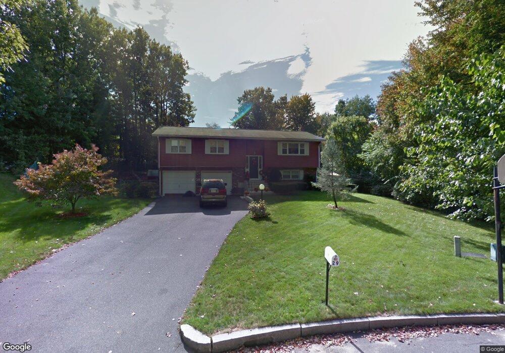
29 Danaher Cir Springfield, MA 01118
Sixteen Acres NeighborhoodEstimated Value: $374,000 - $391,000
3
Beds
2
Baths
1,912
Sq Ft
$199/Sq Ft
Est. Value
About This Home
This home is located at 29 Danaher Cir, Springfield, MA 01118 and is currently estimated at $380,870, approximately $199 per square foot. 29 Danaher Cir is a home located in Hampden County with nearby schools including Arthur T Talmadge Elementary School, M Marcus Kiley Middle, and Springfield High School of Science and Technology.
Ownership History
Date
Name
Owned For
Owner Type
Purchase Details
Closed on
Sep 30, 2005
Sold by
Bumberger Arthur F and Bumberger Linda L
Bought by
Lopez Victor M and Ocasio-Lopez Ena L
Current Estimated Value
Home Financials for this Owner
Home Financials are based on the most recent Mortgage that was taken out on this home.
Original Mortgage
$235,000
Outstanding Balance
$126,416
Interest Rate
5.84%
Mortgage Type
Purchase Money Mortgage
Estimated Equity
$254,454
Purchase Details
Closed on
Nov 5, 1993
Sold by
Tebaldi Dominick A and Tebaldi Pauline
Bought by
Bumberger Arthur F and Bumberger Linda L
Home Financials for this Owner
Home Financials are based on the most recent Mortgage that was taken out on this home.
Original Mortgage
$109,000
Interest Rate
6.83%
Mortgage Type
Purchase Money Mortgage
Create a Home Valuation Report for This Property
The Home Valuation Report is an in-depth analysis detailing your home's value as well as a comparison with similar homes in the area
Home Values in the Area
Average Home Value in this Area
Purchase History
| Date | Buyer | Sale Price | Title Company |
|---|---|---|---|
| Lopez Victor M | $235,000 | -- | |
| Bumberger Arthur F | $123,500 | -- |
Source: Public Records
Mortgage History
| Date | Status | Borrower | Loan Amount |
|---|---|---|---|
| Open | Lopez Victor M | $235,000 | |
| Previous Owner | Bumberger Arthur F | $75,500 | |
| Previous Owner | Bumberger Arthur F | $109,000 |
Source: Public Records
Tax History Compared to Growth
Tax History
| Year | Tax Paid | Tax Assessment Tax Assessment Total Assessment is a certain percentage of the fair market value that is determined by local assessors to be the total taxable value of land and additions on the property. | Land | Improvement |
|---|---|---|---|---|
| 2025 | $4,793 | $305,700 | $59,500 | $246,200 |
| 2024 | $4,627 | $288,100 | $59,500 | $228,600 |
| 2023 | $4,002 | $234,700 | $56,600 | $178,100 |
| 2022 | $3,941 | $209,400 | $56,600 | $152,800 |
| 2021 | $3,950 | $209,000 | $51,500 | $157,500 |
| 2020 | $3,830 | $196,100 | $51,500 | $144,600 |
| 2019 | $3,714 | $188,700 | $51,500 | $137,200 |
| 2018 | $3,389 | $172,200 | $51,500 | $120,700 |
| 2017 | $3,344 | $170,100 | $51,500 | $118,600 |
| 2016 | $3,093 | $157,300 | $51,500 | $105,800 |
| 2015 | $3,157 | $160,500 | $51,500 | $109,000 |
Source: Public Records
Map
Nearby Homes
- 41 Kerry Dr
- 41 Hillside Dr
- 32 Lindsay Rd
- 399 Elm St
- 111 Malibu Dr
- 15 Lynwood Rd
- 82 Louis Rd
- 99 W Crystal Brook Dr
- 86 Talmadge Dr
- 1815 Parker St
- 331 Newhouse St
- 17 Skyridge Ln
- 1680 Parker St
- 17 Pebble Mill Rd
- 767 S Branch Pkwy
- 65 Fair Oak Rd
- 54 Shady Brook Ln
- 0 Apple Blossom Ln
- 55 Allen St
- 43 Sunridge Dr
- 25 Danaher Cir
- 34 Greentree Cir
- 20 Cluster Cir
- 28 Greentree Cir
- 26 Cluster Cir
- 15 Danaher Cir
- 12 Cluster Cir
- 20 Greentree Cir
- 20 Danaher Cir
- 80 Ramblewood Dr
- 5 Danaher Cir
- 6 Cluster Cir
- 12 Danaher Cir
- 12 Greentree Cir
- 27 Cluster Cir
- 6 Danaher Cir
- 23 Greentree Cir
- 37 Greentree Cir
- 21 Cluster Cir
- 7 Cluster Cir