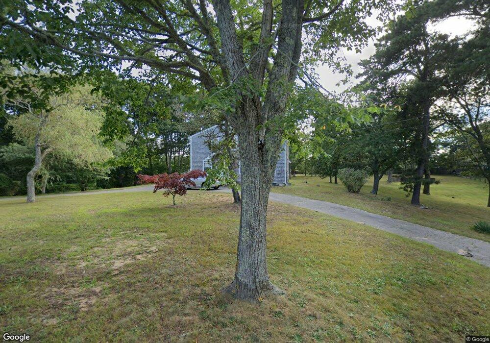
29 Depot Rd Dennis Port, MA 02639
Dennis Port NeighborhoodEstimated Value: $662,405 - $763,000
4
Beds
3
Baths
1,760
Sq Ft
$392/Sq Ft
Est. Value
About This Home
This home is located at 29 Depot Rd, Dennis Port, MA 02639 and is currently estimated at $690,601, approximately $392 per square foot. 29 Depot Rd is a home located in Barnstable County with nearby schools including Dennis-Yarmouth Regional High School and St. Pius X. School.
Create a Home Valuation Report for This Property
The Home Valuation Report is an in-depth analysis detailing your home's value as well as a comparison with similar homes in the area
Home Values in the Area
Average Home Value in this Area
Tax History Compared to Growth
Tax History
| Year | Tax Paid | Tax Assessment Tax Assessment Total Assessment is a certain percentage of the fair market value that is determined by local assessors to be the total taxable value of land and additions on the property. | Land | Improvement |
|---|---|---|---|---|
| 2025 | $2,275 | $525,500 | $196,600 | $328,900 |
| 2024 | $2,391 | $544,700 | $200,200 | $344,500 |
| 2023 | $2,313 | $495,200 | $182,000 | $313,200 |
| 2022 | $2,345 | $418,800 | $182,100 | $236,700 |
| 2021 | $2,165 | $359,100 | $160,700 | $198,400 |
| 2020 | $12,004 | $313,300 | $160,700 | $152,600 |
| 2019 | $1,891 | $306,500 | $157,600 | $148,900 |
| 2018 | $10,959 | $292,300 | $150,000 | $142,300 |
| 2017 | $10,143 | $284,700 | $150,000 | $134,700 |
| 2016 | $1,821 | $278,900 | $166,600 | $112,300 |
| 2015 | $1,785 | $278,900 | $166,600 | $112,300 |
| 2014 | $1,560 | $245,600 | $133,300 | $112,300 |
Source: Public Records
Map
Nearby Homes
- 11 Lane Rd
- 91 Depot Rd W
- 24 Indian Trail
- 141 Division St
- 141 Division St
- 47 Telegraph Rd Unit 1
- 78 Upper County Rd Unit A&B
- 78 Upper County Rd
- 9 Country Ln
- 9 Bells Neck Rd Unit 10
- 360 Center St
- 45 Route 28
- 12 Candlewood Ln Unit 2-9
- 12 Candlewood Ln Unit 1-6
- 10 Candlewood Ln Unit 2-1
- 171 Searsville Rd
- 9 Mansion St
- 116 Searsville Rd
- 64 Smith St
- 20 Aunt Debbys Rd