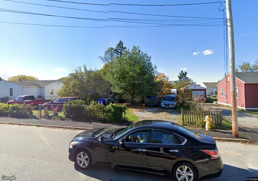
29 Depot Rd Groton, CT 06340
Poquonock Bridge NeighborhoodEstimated Value: $159,000 - $253,109
4
Beds
2
Baths
1,250
Sq Ft
$176/Sq Ft
Est. Value
About This Home
This home is located at 29 Depot Rd, Groton, CT 06340 and is currently estimated at $220,027, approximately $176 per square foot. 29 Depot Rd is a home located in New London County with nearby schools including Claude Chester School, Groton Middle School, and Robert E. Fitch High School.
Ownership History
Date
Name
Owned For
Owner Type
Purchase Details
Closed on
Dec 14, 1998
Sold by
Zitzow David L
Bought by
Alvaran Marisa R and Alvaran Alexander A
Current Estimated Value
Home Financials for this Owner
Home Financials are based on the most recent Mortgage that was taken out on this home.
Original Mortgage
$53,936
Outstanding Balance
$15,135
Interest Rate
6.8%
Estimated Equity
$204,892
Purchase Details
Closed on
May 1, 1995
Sold by
Labrecque John
Bought by
Zitzow David L and Frasure Lourdes
Home Financials for this Owner
Home Financials are based on the most recent Mortgage that was taken out on this home.
Original Mortgage
$32,270
Interest Rate
8.33%
Mortgage Type
Unknown
Create a Home Valuation Report for This Property
The Home Valuation Report is an in-depth analysis detailing your home's value as well as a comparison with similar homes in the area
Home Values in the Area
Average Home Value in this Area
Purchase History
| Date | Buyer | Sale Price | Title Company |
|---|---|---|---|
| Alvaran Marisa R | $54,000 | -- | |
| Zitzow David L | $31,500 | -- |
Source: Public Records
Mortgage History
| Date | Status | Borrower | Loan Amount |
|---|---|---|---|
| Open | Zitzow David L | $53,936 | |
| Previous Owner | Zitzow David L | $32,270 |
Source: Public Records
Tax History Compared to Growth
Tax History
| Year | Tax Paid | Tax Assessment Tax Assessment Total Assessment is a certain percentage of the fair market value that is determined by local assessors to be the total taxable value of land and additions on the property. | Land | Improvement |
|---|---|---|---|---|
| 2025 | $2,966 | $100,520 | $46,865 | $53,655 |
| 2024 | $2,792 | $100,520 | $46,865 | $53,655 |
| 2023 | $2,737 | $100,520 | $23,870 | $76,650 |
| 2022 | $2,674 | $100,520 | $23,870 | $76,650 |
| 2021 | $2,268 | $69,860 | $26,530 | $43,330 |
| 2020 | $2,209 | $69,860 | $26,530 | $43,330 |
| 2019 | $2,127 | $69,860 | $26,530 | $43,330 |
| 2018 | $2,106 | $69,860 | $26,530 | $43,330 |
| 2017 | $2,051 | $69,860 | $26,530 | $43,330 |
| 2016 | $2,369 | $84,350 | $41,090 | $43,260 |
| 2015 | $2,277 | $84,350 | $41,090 | $43,260 |
| 2014 | $2,217 | $84,350 | $41,090 | $43,260 |
Source: Public Records
Map
Nearby Homes
- 106 Midway Oval
- 147 Midway Oval
- 135 Midway Oval
- 295 Midway Oval
- 3 Fort Hill Rd
- 30 Midway Oval
- 75 Midway Oval
- 17 Brookside Ln
- 12 Donna Dr
- 174 D St
- 172 D St
- 301 Buddington Rd Unit LOT 49
- 42 A St
- 119 High Rock Rd
- 63 Johl Dr
- 95 Flanders Rd
- 103 Flanders Rd
- 224 Neptune Dr
- 411 Long Hill Rd
- 74 Twin Hills Dr