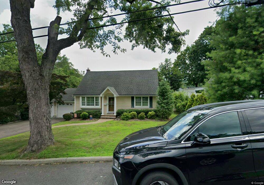
29 Devine Dr Mahwah, NJ 07430
Estimated Value: $548,557 - $682,000
Studio
--
Bath
1,555
Sq Ft
$398/Sq Ft
Est. Value
About This Home
This home is located at 29 Devine Dr, Mahwah, NJ 07430 and is currently estimated at $619,389, approximately $398 per square foot. 29 Devine Dr is a home located in Bergen County with nearby schools including Mahwah High School and ONESCHOOL GLOBAL-NEW YORK.
Ownership History
Date
Name
Owned For
Owner Type
Purchase Details
Closed on
Oct 18, 2004
Sold by
Demilia Raymond
Bought by
Seibel John and Seibel Joan
Current Estimated Value
Home Financials for this Owner
Home Financials are based on the most recent Mortgage that was taken out on this home.
Original Mortgage
$270,000
Outstanding Balance
$134,434
Interest Rate
5.85%
Estimated Equity
$484,955
Purchase Details
Closed on
Sep 16, 2003
Sold by
Dienema Marianne
Bought by
Demilia Raymond
Home Financials for this Owner
Home Financials are based on the most recent Mortgage that was taken out on this home.
Original Mortgage
$283,200
Interest Rate
6.43%
Create a Home Valuation Report for This Property
The Home Valuation Report is an in-depth analysis detailing your home's value as well as a comparison with similar homes in the area
Home Values in the Area
Average Home Value in this Area
Purchase History
| Date | Buyer | Sale Price | Title Company |
|---|---|---|---|
| Seibel John | $407,500 | -- | |
| Demilia Raymond | $354,000 | -- |
Source: Public Records
Mortgage History
| Date | Status | Borrower | Loan Amount |
|---|---|---|---|
| Open | Seibel John | $270,000 | |
| Previous Owner | Demilia Raymond | $283,200 |
Source: Public Records
Tax History
| Year | Tax Paid | Tax Assessment Tax Assessment Total Assessment is a certain percentage of the fair market value that is determined by local assessors to be the total taxable value of land and additions on the property. | Land | Improvement |
|---|---|---|---|---|
| 2025 | $6,388 | $309,500 | $190,000 | $119,500 |
| 2024 | $6,305 | $309,500 | $190,000 | $119,500 |
| 2023 | $6,103 | $309,500 | $190,000 | $119,500 |
| 2022 | $6,103 | $309,500 | $190,000 | $119,500 |
| 2021 | $5,672 | $309,500 | $190,000 | $119,500 |
| 2020 | $5,893 | $309,500 | $190,000 | $119,500 |
| 2019 | $5,698 | $309,500 | $190,000 | $119,500 |
| 2018 | $5,617 | $309,500 | $190,000 | $119,500 |
| 2017 | $5,528 | $309,500 | $190,000 | $119,500 |
| 2016 | $5,407 | $309,500 | $190,000 | $119,500 |
| 2015 | $5,333 | $309,500 | $190,000 | $119,500 |
| 2014 | $5,243 | $309,500 | $190,000 | $119,500 |
Source: Public Records
Map
Nearby Homes
- 17 Maple Ave
- 0 Avenue B
- 142 Island Rd
- 134 Arthur Ct
- 23 Olney Rd
- 63 W Airmount Rd
- 130 Reich Ave
- 1194 Chedworth Cir Unit 7J
- 1060 Chedworth Cir
- 12 Alcott Rd
- 5 Foxwood Ave
- 77 Parkside Dr
- 59 Prairie Ave
- 2384 Quill Ct
- 1 Interstate St
- 16 Gardner St
- 73 Lonergan Dr
- 35 Hillside Ave
- 25 Rockland Terrace
- 10 Dunnery Ct
Your Personal Tour Guide
Ask me questions while you tour the home.