Estimated Value: $916,000 - $974,000
4
Beds
3
Baths
2,540
Sq Ft
$371/Sq Ft
Est. Value
About This Home
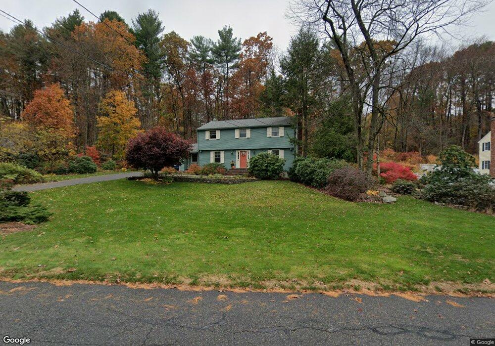
This home is located at 29 Duggan Rd, Acton, MA 01720 and is currently estimated at $942,719, approximately $371 per square foot. 29 Duggan Rd is a home located in Middlesex County with nearby schools including Acton-Boxborough Regional High School.
Ownership History
Date
Name
Owned For
Owner Type
Purchase Details
Closed on
Nov 8, 2007
Sold by
Downs Deanna K and Downs George S
Bought by
Deanna K Downs T and Downs Deanna K
Current Estimated Value
Create a Home Valuation Report for This Property
The Home Valuation Report is an in-depth analysis detailing your home's value as well as a comparison with similar homes in the area
Home Values in the Area
Average Home Value in this Area
Purchase History
| Date | Buyer | Sale Price | Title Company |
|---|---|---|---|
| Deanna K Downs T | -- | -- | |
| Deanna K Downs T K | -- | -- |
Source: Public Records
Mortgage History
| Date | Status | Borrower | Loan Amount |
|---|---|---|---|
| Previous Owner | Deanna K Downs T K | $99,950 | |
| Previous Owner | Deanna K Downs T K | $50,000 | |
| Previous Owner | Deanna K Downs T K | $103,000 |
Source: Public Records
Tax History
| Year | Tax Paid | Tax Assessment Tax Assessment Total Assessment is a certain percentage of the fair market value that is determined by local assessors to be the total taxable value of land and additions on the property. | Land | Improvement |
|---|---|---|---|---|
| 2025 | $14,336 | $835,900 | $340,800 | $495,100 |
| 2024 | $13,409 | $804,400 | $340,800 | $463,600 |
| 2023 | $13,068 | $744,200 | $309,700 | $434,500 |
| 2022 | $12,580 | $646,800 | $269,400 | $377,400 |
| 2021 | $12,278 | $606,900 | $249,400 | $357,500 |
| 2020 | $11,581 | $601,900 | $249,400 | $352,500 |
| 2019 | $11,054 | $570,700 | $249,400 | $321,300 |
| 2018 | $10,864 | $560,600 | $249,400 | $311,200 |
| 2017 | $10,588 | $555,500 | $249,400 | $306,100 |
| 2016 | $10,553 | $548,800 | $249,400 | $299,400 |
| 2015 | $10,356 | $543,600 | $249,400 | $294,200 |
| 2014 | $9,832 | $505,500 | $249,400 | $256,100 |
Source: Public Records
Map
Nearby Homes
- 247 W Acton Rd
- 90 Willow St Unit 1
- 92 Willow St Unit 3
- 92 Willow St Unit 2
- 71 Liberty St
- 285 Central St Unit 285
- 235 Arlington St
- 30-6 Taylor Rd
- 131 Main St
- 129 Main St Unit 129
- 25 Nylander Way
- 34 Meeting House Ln Unit 208
- 246 Main St Unit 2
- 7 Kelley Rd
- 77 Wheeler Dr Unit 77
- 15 Crescent St
- 40 High St
- 20 Lyons Ln Unit 20
- 153 Summer St
- 5 Perkins Ln
Your Personal Tour Guide
Ask me questions while you tour the home.