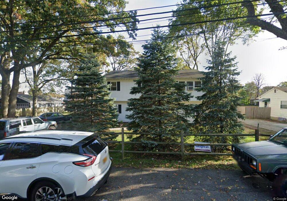
29 E 8th St Huntington Station, NY 11746
Estimated Value: $573,000 - $682,000
--
Bed
--
Bath
--
Sq Ft
0.25
Acres
About This Home
This home is located at 29 E 8th St, Huntington Station, NY 11746 and is currently estimated at $628,017. 29 E 8th St is a home located in Suffolk County with nearby schools including Washington School, Woodhull Intermediate School, and J Taylor Finley Middle School.
Ownership History
Date
Name
Owned For
Owner Type
Purchase Details
Closed on
Aug 16, 2005
Current Estimated Value
Purchase Details
Closed on
Jun 20, 2001
Sold by
Taylor Homes Of Long Island Inc
Bought by
Motley William C and Washington Motley Darlene
Home Financials for this Owner
Home Financials are based on the most recent Mortgage that was taken out on this home.
Original Mortgage
$221,500
Interest Rate
7.2%
Mortgage Type
FHA
Purchase Details
Closed on
Mar 26, 2001
Sold by
Chase Manhattan Bank
Bought by
Taylor Homes Of Long Island Inc
Create a Home Valuation Report for This Property
The Home Valuation Report is an in-depth analysis detailing your home's value as well as a comparison with similar homes in the area
Home Values in the Area
Average Home Value in this Area
Purchase History
| Date | Buyer | Sale Price | Title Company |
|---|---|---|---|
| -- | -- | -- | |
| Motley William C | $225,000 | Titleguard Agency Land Servi | |
| Taylor Homes Of Long Island Inc | $153,000 | Titleguard Agency Land Servi |
Source: Public Records
Mortgage History
| Date | Status | Borrower | Loan Amount |
|---|---|---|---|
| Previous Owner | Motley William C | $221,500 |
Source: Public Records
Tax History Compared to Growth
Tax History
| Year | Tax Paid | Tax Assessment Tax Assessment Total Assessment is a certain percentage of the fair market value that is determined by local assessors to be the total taxable value of land and additions on the property. | Land | Improvement |
|---|---|---|---|---|
| 2024 | $7,154 | $2,435 | $300 | $2,135 |
| 2023 | $3,577 | $2,435 | $300 | $2,135 |
| 2022 | $8,378 | $2,435 | $300 | $2,135 |
| 2021 | $8,270 | $2,435 | $300 | $2,135 |
| 2020 | $9,200 | $2,435 | $300 | $2,135 |
| 2019 | $18,400 | $0 | $0 | $0 |
| 2018 | $8,634 | $2,725 | $300 | $2,425 |
| 2017 | $8,634 | $2,725 | $300 | $2,425 |
| 2016 | $8,525 | $2,725 | $300 | $2,425 |
| 2015 | -- | $3,450 | $300 | $3,150 |
| 2014 | -- | $3,450 | $300 | $3,150 |
Source: Public Records
Map
Nearby Homes
- 95 E Pulaski Rd
- 1 Varney Ave
- 107 E 9th St
- 57 E Pulaski Rd
- 148 Lenox Rd
- 0 E 12th St
- 122 E 12th St
- 126 E 12th St
- 26 E 12th St
- 71 Biltmore Cir
- 1 Timothy Ln
- 30 3rd Ave
- 25 E 13th St
- 54 E 14th St
- 280 Lowndes Ave Unit 208
- 280 Lowndes Ave Unit 305G
- 280 Lowndes Ave Unit 111G
- 26 Townhouse Rd S Unit 26
- 200 Lowndes Ave Unit A
- 24 Columbia St