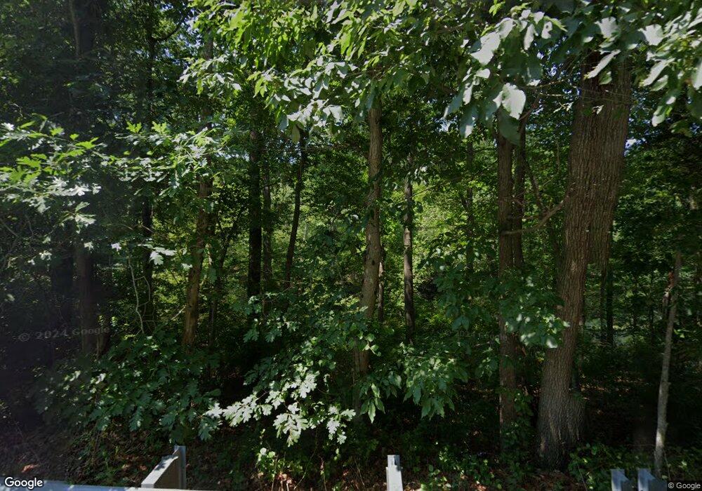
29 E Bartlett Rd Middle Island, NY 11953
Estimated Value: $462,000 - $694,000
1
Bed
1
Bath
921
Sq Ft
$586/Sq Ft
Est. Value
About This Home
This home is located at 29 E Bartlett Rd, Middle Island, NY 11953 and is currently estimated at $539,771, approximately $586 per square foot. 29 E Bartlett Rd is a home located in Suffolk County with nearby schools including Longwood Middle School, Longwood Junior High School, and Longwood Senior High School.
Ownership History
Date
Name
Owned For
Owner Type
Purchase Details
Closed on
May 20, 2022
Sold by
Apidopoulos George and Stamatakos Olga
Bought by
1850 Rocky Point Llc
Current Estimated Value
Home Financials for this Owner
Home Financials are based on the most recent Mortgage that was taken out on this home.
Original Mortgage
$439,000
Interest Rate
5.51%
Mortgage Type
Purchase Money Mortgage
Purchase Details
Closed on
Jul 19, 2001
Sold by
Stanard Robert and Stanard Deana
Bought by
Platti Michael W and Platti Dina
Home Financials for this Owner
Home Financials are based on the most recent Mortgage that was taken out on this home.
Original Mortgage
$153,500
Interest Rate
7%
Mortgage Type
Purchase Money Mortgage
Purchase Details
Closed on
Oct 30, 1998
Sold by
Still Barbara and Ivey Amelia Barbara
Bought by
Stanard Robert and Stanard Deana
Home Financials for this Owner
Home Financials are based on the most recent Mortgage that was taken out on this home.
Original Mortgage
$45,000
Interest Rate
6%
Mortgage Type
Stand Alone First
Create a Home Valuation Report for This Property
The Home Valuation Report is an in-depth analysis detailing your home's value as well as a comparison with similar homes in the area
Home Values in the Area
Average Home Value in this Area
Purchase History
| Date | Buyer | Sale Price | Title Company |
|---|---|---|---|
| 1850 Rocky Point Llc | $599,000 | None Available | |
| 1850 Rocky Point Llc | $599,000 | None Available | |
| Platti Michael W | $160,000 | Fidelity National Title Ins | |
| Platti Michael W | $160,000 | Fidelity National Title Ins | |
| Stanard Robert | $45,000 | Trw Title Insurance | |
| Stanard Robert | $45,000 | Trw Title Insurance |
Source: Public Records
Mortgage History
| Date | Status | Borrower | Loan Amount |
|---|---|---|---|
| Previous Owner | 1850 Rocky Point Llc | $439,000 | |
| Previous Owner | Platti Michael W | $153,500 | |
| Previous Owner | Stanard Robert | $45,000 |
Source: Public Records
Tax History Compared to Growth
Tax History
| Year | Tax Paid | Tax Assessment Tax Assessment Total Assessment is a certain percentage of the fair market value that is determined by local assessors to be the total taxable value of land and additions on the property. | Land | Improvement |
|---|---|---|---|---|
| 2024 | $9,346 | $2,060 | $200 | $1,860 |
| 2023 | $9,346 | $2,060 | $200 | $1,860 |
| 2022 | $8,612 | $2,060 | $200 | $1,860 |
| 2021 | $8,612 | $2,060 | $200 | $1,860 |
| 2020 | $8,794 | $2,060 | $200 | $1,860 |
| 2019 | $8,794 | $0 | $0 | $0 |
| 2018 | $6,036 | $2,060 | $200 | $1,860 |
| 2017 | $6,036 | $1,760 | $200 | $1,560 |
| 2016 | $5,858 | $1,760 | $200 | $1,560 |
| 2015 | -- | $1,760 | $200 | $1,560 |
| 2014 | -- | $1,760 | $200 | $1,560 |
Source: Public Records
Map
Nearby Homes
- 0 W Bartlett Rd Unit KEY948996
- 20 Bunker Ln
- 2 Bunker Ln
- 4 Bunker Ln
- 56 E Bartlett Rd
- 25 Nord Park Blvd
- 44 Bailey Unit 44
- 4 Park Ln
- 19 Saddlebrook Ct
- 0 Middle Country Rd Unit KEYL3539072
- 824 Birchwood Park Dr
- 35 Adams Ln
- 0 Daniel Ln Unit KEY823323
- VL Daniel Ln
- 0 Daniel Ln Unit KEY944644
- 0 Daniel Ln Unit 11432454
- 804 Birchwood Park Dr Unit 7
- 75 Eric Dr
- 55 Eric Dr
- 29 Gray Ave
- 37 E Bartlett Rd
- 37 E Bartlett Rd
- 35 E Bartlett Rd
- 31 E Bartlett Rd
- 39 E Bartlett Rd
- 10 Bunker Ln
- 33 E Bartlett Rd
- 16 Bunker Ln
- 14 Bunker Ln
- 1 E Bartlett Rd
- 43 E Bartlett Rd
- 23 E Bartlett Rd
- 0 W Bartlett Rd Unit 2807021
- 0 W Bartlett Rd Unit 3126370
- 0 Bunker Ln Unit 2741124
- 0 Bunker Ln Unit 3111550
- 0 Bunker Ln
- 21 E Bartlett Rd
- 15 Bunker Ln
- 8 Bunker Ln
