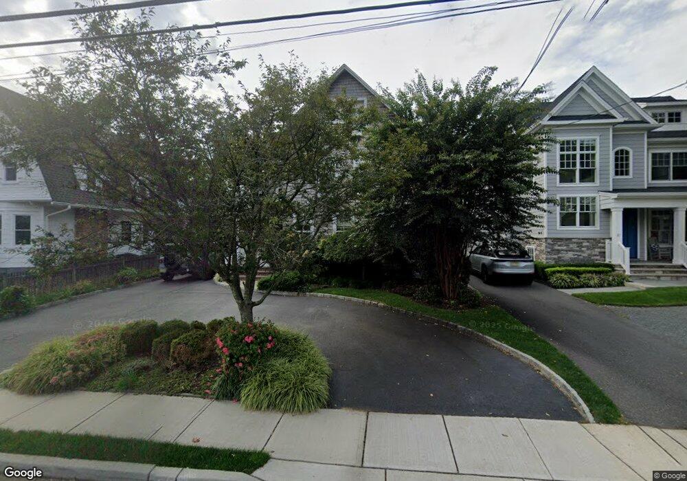
29 E River Rd Rumson, NJ 07760
Estimated Value: $1,321,000 - $1,871,000
3
Beds
2
Baths
2,484
Sq Ft
$624/Sq Ft
Est. Value
About This Home
This home is located at 29 E River Rd, Rumson, NJ 07760 and is currently estimated at $1,550,875, approximately $624 per square foot. 29 E River Rd is a home located in Monmouth County with nearby schools including Deane Porter School, Forrestdale School, and Rumson Fair Haven Regional High School.
Ownership History
Date
Name
Owned For
Owner Type
Purchase Details
Closed on
Nov 13, 2008
Sold by
Wright John C and Wright Janet H
Bought by
Fischer Robert and Fischer Colleen
Current Estimated Value
Home Financials for this Owner
Home Financials are based on the most recent Mortgage that was taken out on this home.
Original Mortgage
$680,000
Outstanding Balance
$445,264
Interest Rate
6.03%
Mortgage Type
Purchase Money Mortgage
Estimated Equity
$1,105,611
Purchase Details
Closed on
Nov 14, 2003
Sold by
Greunenfelder Thomas
Bought by
Wright John and Wright Janet
Home Financials for this Owner
Home Financials are based on the most recent Mortgage that was taken out on this home.
Original Mortgage
$320,000
Interest Rate
5.89%
Create a Home Valuation Report for This Property
The Home Valuation Report is an in-depth analysis detailing your home's value as well as a comparison with similar homes in the area
Home Values in the Area
Average Home Value in this Area
Purchase History
| Date | Buyer | Sale Price | Title Company |
|---|---|---|---|
| Fischer Robert | $850,000 | First American Title Ins Co | |
| Wright John | $400,000 | -- |
Source: Public Records
Mortgage History
| Date | Status | Borrower | Loan Amount |
|---|---|---|---|
| Open | Fischer Robert | $680,000 | |
| Previous Owner | Wright John | $320,000 |
Source: Public Records
Tax History
| Year | Tax Paid | Tax Assessment Tax Assessment Total Assessment is a certain percentage of the fair market value that is determined by local assessors to be the total taxable value of land and additions on the property. | Land | Improvement |
|---|---|---|---|---|
| 2025 | $12,300 | $1,184,700 | $758,500 | $426,200 |
| 2024 | $11,985 | $1,118,200 | $730,400 | $387,800 |
| 2023 | $11,985 | $1,025,200 | $673,600 | $351,600 |
| 2022 | $11,515 | $928,700 | $598,400 | $330,300 |
| 2021 | $11,515 | $809,200 | $518,300 | $290,900 |
| 2020 | $10,720 | $748,100 | $471,200 | $276,900 |
| 2019 | $10,569 | $719,500 | $318,100 | $401,400 |
| 2018 | $10,386 | $700,800 | $318,100 | $382,700 |
| 2017 | $9,672 | $658,400 | $287,300 | $371,100 |
| 2016 | $9,322 | $650,500 | $287,300 | $363,200 |
| 2015 | $9,213 | $634,100 | $287,300 | $346,800 |
| 2014 | $9,029 | $619,700 | $282,200 | $337,500 |
Source: Public Records
Map
Nearby Homes
Your Personal Tour Guide
Ask me questions while you tour the home.