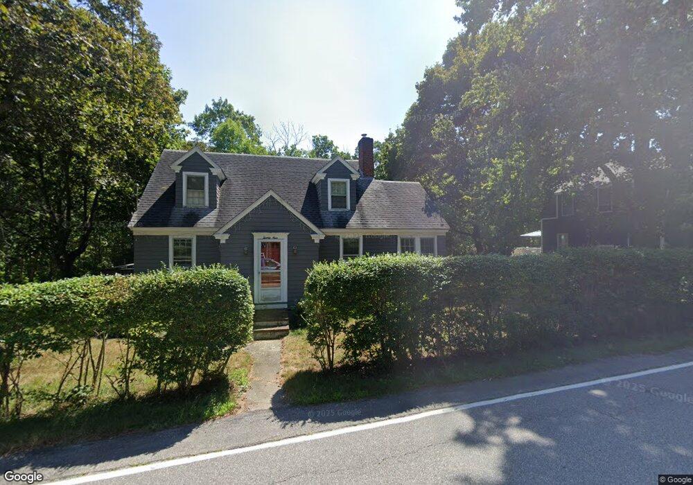
29 Eliot Rd Kittery, ME 03904
Estimated Value: $416,000 - $613,000
3
Beds
1
Bath
1,488
Sq Ft
$355/Sq Ft
Est. Value
About This Home
This home is located at 29 Eliot Rd, Kittery, ME 03904 and is currently estimated at $528,307, approximately $355 per square foot. 29 Eliot Rd is a home located in York County with nearby schools including Shapleigh School, Horace Mitchell Primary School, and Robert W Traip Academy.
Ownership History
Date
Name
Owned For
Owner Type
Purchase Details
Closed on
Apr 1, 2008
Sold by
Gillibrand Florence J Est
Bought by
Kleist Joanthan A and Kleist Christine A
Current Estimated Value
Home Financials for this Owner
Home Financials are based on the most recent Mortgage that was taken out on this home.
Original Mortgage
$204,857
Interest Rate
5.76%
Mortgage Type
FHA
Create a Home Valuation Report for This Property
The Home Valuation Report is an in-depth analysis detailing your home's value as well as a comparison with similar homes in the area
Home Values in the Area
Average Home Value in this Area
Purchase History
| Date | Buyer | Sale Price | Title Company |
|---|---|---|---|
| Kleist Joanthan A | -- | -- |
Source: Public Records
Mortgage History
| Date | Status | Borrower | Loan Amount |
|---|---|---|---|
| Open | Kleist Joanthan A | $202,516 | |
| Closed | Kleist Joanthan A | $204,857 |
Source: Public Records
Tax History Compared to Growth
Tax History
| Year | Tax Paid | Tax Assessment Tax Assessment Total Assessment is a certain percentage of the fair market value that is determined by local assessors to be the total taxable value of land and additions on the property. | Land | Improvement |
|---|---|---|---|---|
| 2024 | $4,270 | $300,700 | $136,500 | $164,200 |
| 2023 | $4,093 | $300,700 | $136,500 | $164,200 |
| 2022 | $4,053 | $300,700 | $136,500 | $164,200 |
| 2021 | $3,909 | $300,700 | $136,500 | $164,200 |
| 2020 | $3,879 | $300,700 | $136,500 | $164,200 |
| 2019 | $3,433 | $197,300 | $58,000 | $139,300 |
| 2018 | $3,481 | $207,200 | $58,000 | $149,200 |
| 2017 | $3,419 | $207,200 | $58,000 | $149,200 |
| 2016 | $3,326 | $207,200 | $58,000 | $149,200 |
| 2015 | $3,247 | $207,200 | $58,000 | $149,200 |
| 2014 | $3,216 | $207,200 | $58,000 | $149,200 |
| 2013 | $3,154 | $207,200 | $58,000 | $149,200 |
Source: Public Records
Map
Nearby Homes
- 27 Oak Terrace
- 25 Oak Terrace
- 5 Spinney Way Unit 9
- 20 Mendum Ave
- 8 Water St Unit 2
- 8 Water St Unit 1
- 35 Badgers Island W Unit 203
- 35 Badgers Island W Unit 301
- 35 Badgers Island W Unit 204
- 35 Badgers Island W Unit 103
- 35 Badgers Island W Unit 102
- 10-12 Pine St
- 197 State Rd
- 165 Rogers Rd
- 124 Spinnaker Way
- 233 Vaughan St Unit 302
- 1 Harbour Place Unit 4i
- 93 High St Unit 4
- 25 Mangrove St
- 201 Kearsarge Way